Old Maps of Lake City, Minnesota
Explore 19 old maps of Lake City, spanning from 1932 to today. These high-resolution historic maps reveal how streets, neighborhoods, landmarks, and natural features evolved over time — perfect for genealogy, metal detecting, research, and local history exploration.
What you can do with these maps:
- See how Lake City changed over time: Compare historical maps to modern-day views to trace roads, homesites, rail lines & more.
- View detailed metadata: Each map includes creators, publishers, year, scale, and archive source.
- Overlay maps with satellite & LiDAR: Visualize the past alongside modern tools to explore terrain & human change.
- Trusted historical sources: Maps sourced from the USGS, Library of Congress, and other archives.
- Access maps your way: View online, download high-res files, or order prints for personal or research use.
Start exploring old maps of Lake City to uncover forgotten places, hidden landmarks, and the deep history beneath your feet.
Lake City, MN maps
(19)- 1932 Map of Wabasha
 1932 Wabasha1932 Print · USGSThe Mississippi River valley near the Chippewa delta was a thriving hub of rail and river commerce in the early thirties. Genealogists can trace early homesteads and community hubs through landmarks like Hicks Valley Sch, Stockholm, and the river crossing at Nelson.2 unique versions available
 - 1951 Map of Wabasha
 1951 Wabasha1951 Print · USGSThe Mississippi River valley and Lake Pepin define this mid-century landscape at the border of Minnesota and Wisconsin. Researchers can trace rural school districts like Scott Settlement Sch and old river settlements from Stockholm to Wabasha.3 unique versions available
 - 1951 Map of Lake City, 1953 Print
 1951 Lake City1953 Print · USGSLake City and the high bluffs overlooking the Mississippi River appear here at mid-century, documenting a landscape shaped by the rail lines and river valleys of the Upper Midwest. Researchers can locate numerous country landmarks like Sugarloaf Valley Sch, Florence Stn, and the historic Zumbro Falls.3 unique versions available
 - 1953 Map of Saint Paul, 1964 Print
 1953 Saint Paul1964 Print · USGSThe Twin Cities and the Mississippi River valley are captured here at a mid-century turning point. Trace the early growth of Minneapolis and Saint Paul alongside landmarks like Lake Minnetonka and the St Croix River.4 unique versions available
 - 1959 Map of Saint Paul
 1959 Saint Paul1959 Print · USGSThe Twin Cities and southeastern Minnesota appear here in the late fifties, showing the peak of the rail era and post-war suburban growth. Genealogists can trace family footprints near Lake Minnetonka, the Univ Of Minn Rosemount Research Center, or the growing neighborhoods of Richfield.2 unique versions available
 - 1974 Map of Pepin, 1976 Print
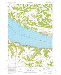 1974 Pepin1976 Print · USGSThe Mississippi River valley at Lake Pepin comes to life in the mid-1970s, showcasing the river-and-rail corridor connecting Wisconsin and Minnesota. Genealogists and historians can trace riverside settlements like Stockholm and Pepin, and locate rural landmarks such as Oakwood Cem and Bogus Bluff.
 - 1974 Map of Lake City, 1977 Print
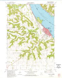 1974 Lake City1977 Print · USGSThe wide waters of the Mississippi River and the steep bluffs of the hardwood forest defined life along the river valley in the mid-seventies. Genealogists and local historians can trace the foundations of Lake City, locate the Lincoln Sch, and find family names at Lakewood Cem or Vining Cem.
 - 1985 Map of Rochester
 1985 Rochester1985 Print · USGSSoutheastern Minnesota in the mid-eighties centers on the growth of Rochester and its surrounding river valleys. Trace family roots and old rail lines through Mantorville, Pine Island, and along the Mississippi River near Lake Pepin.
 - 1989 Map of Rochester
 1989 Rochester1989 Print · USGSSoutheastern Minnesota and the Mississippi River bluffs are captured here in the late eighties as the region balanced urban growth with its river-and-rail heritage. Researchers can trace the development of Rochester and find smaller rail towns like Kasson, Dodge Center, and Zumbrota.2 unique versions available
 - 2010 Map of Lake City, 2010 Print
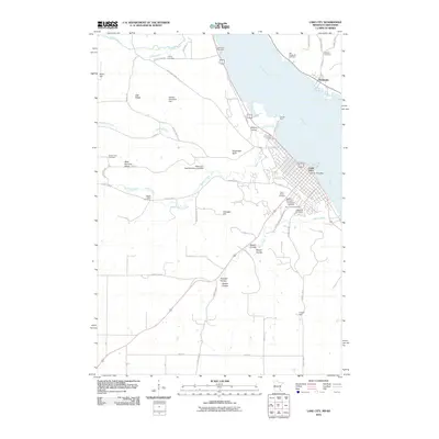 2010 Lake City2010 Print · USGSLake City and the Mississippi River valley are captured here at the start of the 2010s. Genealogists can trace numerous burial sites including Oakwood Cemetery, Vining Cemetery, and Old Stockholm Cemetery across the river.
 - 2010 Map of Pepin, 2010 Print
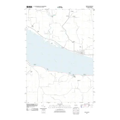 2010 Pepin2010 Print · USGSThe Wisconsin and Minnesota shores of the Mississippi River meet here in the early twenty-first century. Researchers can trace landforms from Pepin Prairie to Bogus Bluff and find local landmarks such as Oakwood Cemetery and Lakeport.
 - 2013 Map of Pepin, 2013 Print
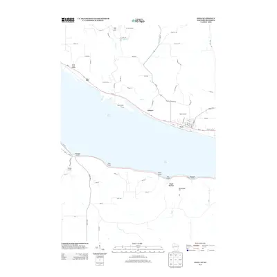 2013 Pepin2013 Print · USGSThe riverfront communities of Wisconsin and Minnesota meet at Lake Pepin in this modern topographic survey. Local historians can trace the deep-cut terrain of Horse Thief Coulee or locate the small landing strips at Airwolfe Airport and Bogus Creek Airport.
 - 2013 Map of Lake City, 2013 Print
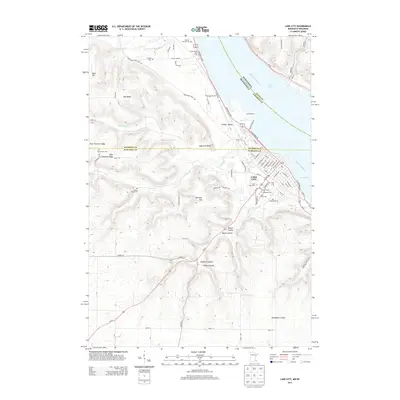 2013 Lake City2013 Print · USGSThe riverfront of Lake City and the dramatic bluffs of the Mississippi River valley are captured here just over a decade ago. Genealogists can locate several family and community burial sites, including Oakwood Cem, Bethany Cem, and the Vining Cem.
 - 2015 Map of Pepin, 2015 Print
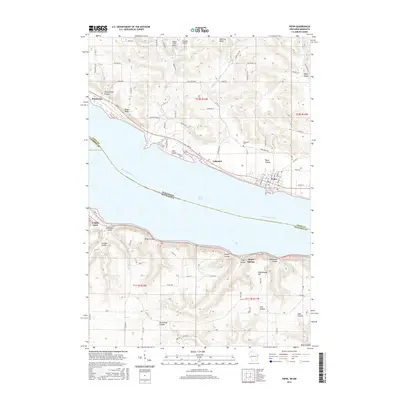 2015 Pepin2015 Print · USGSThe Mississippi River valley comes alive in the mid-2010s at the junction of Wisconsin and Minnesota. Genealogists and local historians can trace the streets of Pepin and Stockholm, locate Oakwood Cem, or explore named landmarks like Bogus Bluff and Maple Springs.
 - 2016 Map of Lake City, 2016 Print
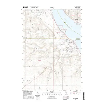 2016 Lake City2016 Print · USGSLake City and the Wisconsin shoreline of Lake Pepin are seen here in the mid-2010s, showing the bluff-top settlements and riverfront growth. Genealogists can locate several historic burial sites, including Old Stockholm Cem, Saint Johns Cem, and Vining Cem.
 - 2018 Map of Pepin, 2018 Print
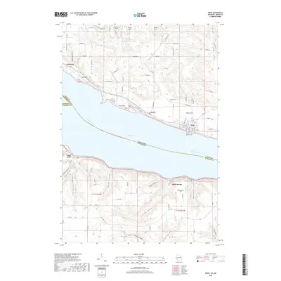 2018 Pepin2018 Print · USGSThe bluffs of the upper Mississippi River valley define this landscape in the late 2010s, where Lake Pepin separates Wisconsin and Minnesota. Researchers can trace historic riverfront settlements like Stockholm and Pepin or locate family sites near Oakwood Cem and Riley Coulee.
 - 2019 Map of Lake City, 2019 Print
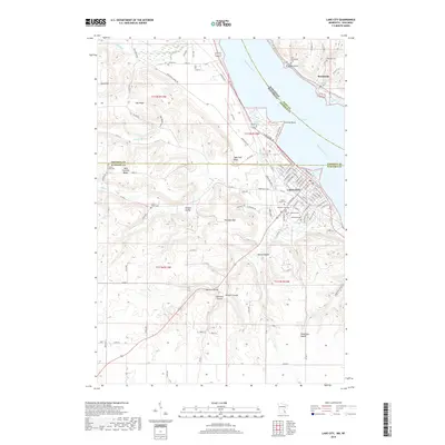 2019 Lake City2019 Print · USGSLake City sits at the base of the bluffs along the wide waters of Lake Pepin during the late twenty-teens. Genealogists can trace family heritage across a high density of burial sites including Oakwood Cem, Old Stockholm Cem, and the rural Gilbert Valley Cem.
 - 2022 Map of Pepin, 2022 Print
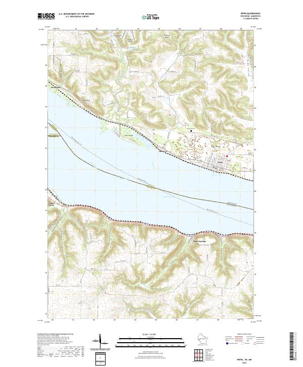 2022 Pepin2022 Print · USGSThe widening Mississippi River defines the border between Wisconsin and Minnesota in this contemporary survey of the Lake Pepin region. Researchers can trace the layout of Pepin and Stockholm or locate rural landmarks like Oakwood Cem and Maple Springs.
 - 2022 Map of Lake City, 2022 Print
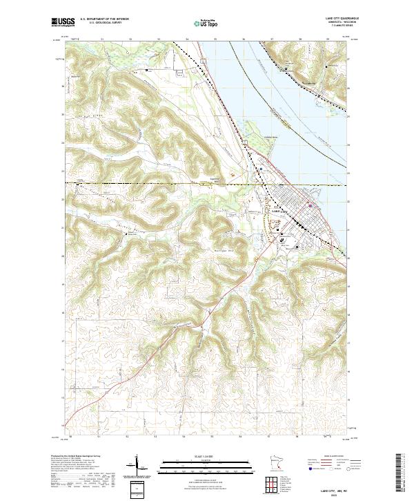 2022 Lake City2022 Print · USGSThe riverside community of Lake City and the Wisconsin shore of Lake Pepin are documented in this recent survey. Researchers can locate numerous family burial grounds like Oakwood Cem and Vining Cem or trace the winding Territorial Road Trl.
End of results
Showing maps 1-19 of 19
Top cities near Lake City
- Red Wing historical maps
- Wabasha historical maps
- Trenton historical maps
- Pepin historical maps
- Plum City historical maps
- Salem historical maps
See more
Frequently asked questions
- What are the different types of historical maps available for Lake City?
- What is the oldest map of Lake City?
- Where can I purchase historical maps of Lake City for my home or office?
- Where can I download high-res historical maps of Lake City?
- Are there historical topographic maps available for Lake City?
- Is there historical aerial imagery available for Lake City?
- Where are historical maps of Lake City sourced from?