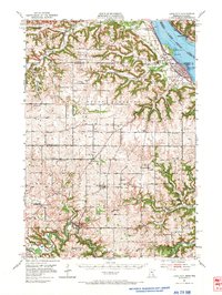
1951 Map of Lake City
USGS Topo · Published 1973About this map
Lake Pepin dominates the eastern landscape of this 1950s era survey, where the Zumbro River snakes through the southern bluffs toward its eventual confluence. The town of Lake City serves as a hub for both river and rail traffic, situated along the Chicago Milwaukee St Paul and Pacific line. Inland, the terrain is defined by dramatic ridges such as Oak Ridge and Sugarloaf Ridge, interspersed with a high density of rural schoolhouses and cemeteries that reveal the historical footprint of early agricultural settlements.
Find a feature on this map
71 named features on this map. Tap any name to fly to it.
Don’t see what you’re looking for? This feature index may not catch every label — zoom into the map to look around manually.
Map Details
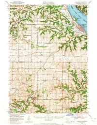
Editions of this 1951 Lake City Map
3 editions found

Other maps of this area

1932 · Wabasha
USGS Topo · 1:62,500

1934 · Plainview
USGS Topo · 1:62,500

1935 · Rochester
USGS Topo · 1:48,000

1935 · Arkansaw
USGS Topo · 1:48,000

1938 · Plainview
USGS Topo · 1:62,500

1939 · Rochester
USGS Topo · 1:62,500

1940 · Maiden Rock
USGS Topo · 1:62,500

1941 · Arkansaw
USGS Topo · 1:62,500

1942 · Arkansaw
USGS Topo · 1:62,500

1944 · Red Wing
USGS Topo · 1:62,500