Old Maps of Elgin, Minnesota
Explore 26 old maps of Elgin, spanning from 1934 to today. These high-resolution historic maps reveal how streets, neighborhoods, landmarks, and natural features evolved over time — perfect for genealogy, metal detecting, research, and local history exploration.
What you can do with these maps:
- See how Elgin changed over time: Compare historical maps to modern-day views to trace roads, homesites, rail lines & more.
- View detailed metadata: Each map includes creators, publishers, year, scale, and archive source.
- Overlay maps with satellite & LiDAR: Visualize the past alongside modern tools to explore terrain & human change.
- Trusted historical sources: Maps sourced from the USGS, Library of Congress, and other archives.
- Access maps your way: View online, download high-res files, or order prints for personal or research use.
Start exploring old maps of Elgin to uncover forgotten places, hidden landmarks, and the deep history beneath your feet.
Elgin, MN maps
(26)- 1934 Map of Plainview, 1960 Print
 1934 Plainview1960 Print · USGSWabasha and Winona Counties are shown in the mid-1930s as the railroad era connects prairie towns to the dramatic river bluffs. Genealogists can trace rural homesteads through a dense network of district schools like Fisher Hill Sch and historic grounds such as the Wabasha County Fair Grounds.
 - 1935 Map of Rochester
 1935 Rochester1935 Print · USGSSoutheastern Minnesota during the mid-thirties reveals a landscape of thriving river towns and dense rural school districts. Genealogists and historians can trace family roots through numerous country schools like Sch No 106 and cemeteries such as Pleasant Prairie Cem.
 - 1938 Map of Plainview
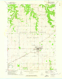
 1938 Plainview1938 Print · USGSSoutheastern Minnesota's driftless landscape was a patchwork of family farms and rural school districts in the late thirties. Genealogists and historians can trace the foundations of Plainview and Elba, and locate several burial grounds like Greenwood Cem and Fairwater Cem.2 unique versions available
 - 1939 Map of Rochester
 1939 Rochester1939 Print · USGSRochester and the Zumbro River valley are captured here in the mid-thirties, showcasing the city's early layout and the surrounding agrarian townships. Genealogists can trace family roots through dozens of named country schools and churches like South Troy Ch and Webster Sch.4 unique versions available
 - 1953 Map of Saint Paul, 1964 Print
 1953 Saint Paul1964 Print · USGSThe Twin Cities and the Mississippi River valley are captured here at a mid-century turning point. Trace the early growth of Minneapolis and Saint Paul alongside landmarks like Lake Minnetonka and the St Croix River.4 unique versions available
 - 1959 Map of Saint Paul
 1959 Saint Paul1959 Print · USGSThe Twin Cities and southeastern Minnesota appear here in the late fifties, showing the peak of the rail era and post-war suburban growth. Genealogists can trace family footprints near Lake Minnetonka, the Univ Of Minn Rosemount Research Center, or the growing neighborhoods of Richfield.2 unique versions available
 - 1972 Map of Plainview, 1975 Print
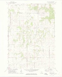
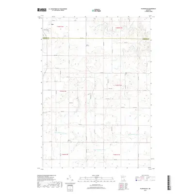
 1972 Plainview1975 Print · USGSWabasha County agricultural and forest lands are documented here in the early 1970s, showcasing the region's rail and river connections. Researchers can trace local heritage through sites like St Joachim Cem and the Chicago and North Western rail line.
 - 1972 Map of Plainview SW, 1975 Print
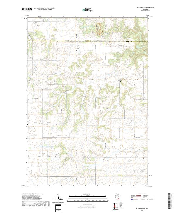
 1972 Plainview SW1975 Print · USGSSoutheast Minnesota in the early seventies reveals a landscape of deep river valleys and high agricultural plateaus. Researchers can trace rural life through sites like St Pauls Ch, Little Valley Cem, and the wooded stretches of Carley State Park.2 unique versions available
 - 1972 Map of Millville, 1975 Print
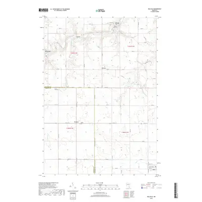
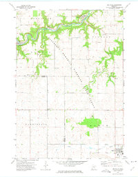 1972 Millville1975 Print · USGSThe Zumbro River valley and its surrounding plateaus appear here in the early 1970s, showing a landscape of river towns and high-ground farming. Genealogists and local historians can trace small communities like Millville and Bremen, or locate rural landmarks such as Oakwood Ch and Pleasant Prairie Cem.
 - 1985 Map of Rochester
 1985 Rochester1985 Print · USGSSoutheastern Minnesota in the mid-eighties centers on the growth of Rochester and its surrounding river valleys. Trace family roots and old rail lines through Mantorville, Pine Island, and along the Mississippi River near Lake Pepin.
 - 1989 Map of Rochester
 1989 Rochester1989 Print · USGSSoutheastern Minnesota and the Mississippi River bluffs are captured here in the late eighties as the region balanced urban growth with its river-and-rail heritage. Researchers can trace the development of Rochester and find smaller rail towns like Kasson, Dodge Center, and Zumbrota.2 unique versions available
 - 2010 Map of Plainview, 2010 Print
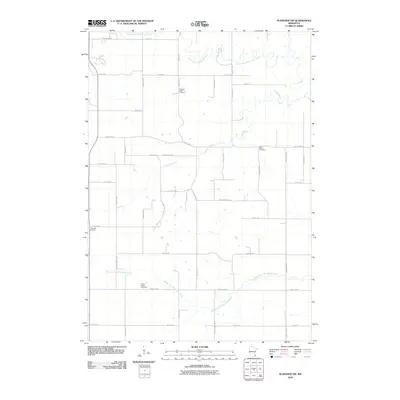
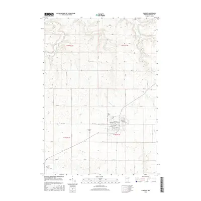
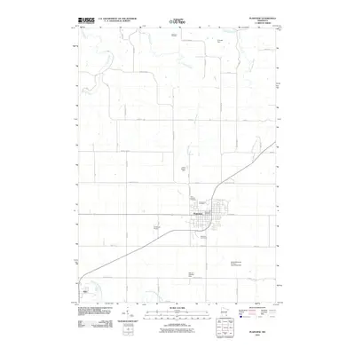 2010 Plainview2010 Print · USGSCovers Elgin, including Plainview, Wabasha County, and other nearby areas
 - 2010 Map of Plainview SW, 2010 Print
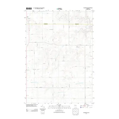
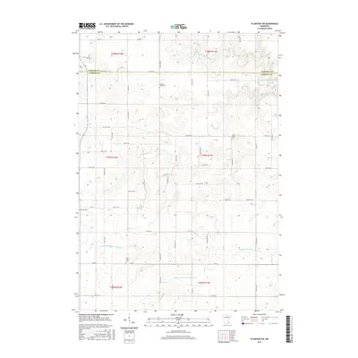
 2010 Plainview SW2010 Print · USGSCovers Elgin, including Olmsted County, Wabasha County, and other nearby areas
 - 2010 Map of Millville, 2010 Print
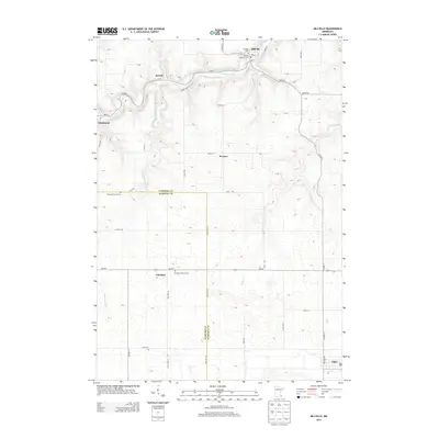
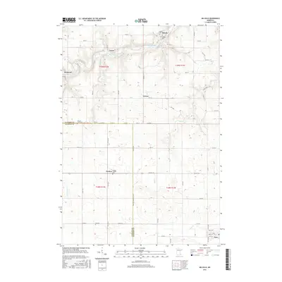
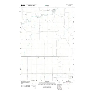 2010 Millville2010 Print · USGSCovers Elgin, including Hammond, Millville, and other nearby areas
 - 2013 Map of Plainview SW, 2013 Print
 2013 Plainview SW2013 Print · USGSCovers Elgin, including Olmsted County, Wabasha County, and other nearby areas
 - 2013 Map of Plainview, 2013 Print
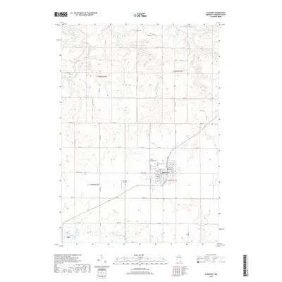
 2013 Plainview2013 Print · USGSCovers Elgin, including Plainview, Wabasha County, and other nearby areas
 - 2013 Map of Millville, 2013 Print
 2013 Millville2013 Print · USGSCovers Elgin, including Hammond, Millville, and other nearby areas
 - 2016 Map of Plainview, 2016 Print
 2016 Plainview2016 Print · USGSCovers Elgin, including Plainview, Wabasha County, and other nearby areas
 - 2016 Map of Plainview SW, 2016 Print
 2016 Plainview SW2016 Print · USGSCovers Elgin, including Olmsted County, Wabasha County, and other nearby areas
 - 2016 Map of Millville, 2016 Print
 2016 Millville2016 Print · USGSCovers Elgin, including Hammond, Millville, and other nearby areas
 - 2019 Map of Plainview, 2019 Print
 2019 Plainview2019 Print · USGSCovers Elgin, including Plainview, Wabasha County, and other nearby areas
 - 2019 Map of Millville, 2019 Print
 2019 Millville2019 Print · USGSCovers Elgin, including Hammond, Millville, and other nearby areas
 - 2019 Map of Plainview SW, 2019 Print
 2019 Plainview SW2019 Print · USGSCovers Elgin, including Olmsted County, Wabasha County, and other nearby areas
 - 2022 Map of Plainview, 2022 Print
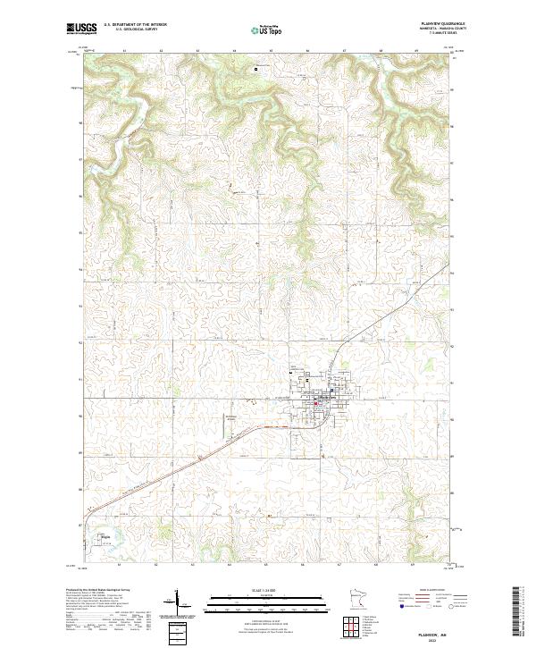 2022 Plainview2022 Print · USGSWabasha County farmland and river valleys are captured here in the early 2020s, centered on the grid of Plainview. Researchers can trace local landmarks like Saint Joachim Cem, Christison Airport, and the Great River Ridge State Trl.
 - 2022 Map of Plainview SW, 2022 Print
 2022 Plainview SW2022 Print · USGSAgricultural plateaus meet the deep river valleys of Olmsted and Wabasha counties in the early 2020s. Genealogists can locate several local burying grounds, including Saint Paul's Cem and Pleasant Valley Cem, near the forks of the Middle Fork Whitewater River.
Showing maps 1-25 of 26
Top cities near Elgin
- Rochester historical maps
- Marion historical maps
- Plainview historical maps
- Eyota historical maps
- Viola historical maps
- Dover historical maps
See more
Frequently asked questions
- What are the different types of historical maps available for Elgin?
- What is the oldest map of Elgin?
- Where can I purchase historical maps of Elgin for my home or office?
- Where can I download high-res historical maps of Elgin?
- Are there historical topographic maps available for Elgin?
- Is there historical aerial imagery available for Elgin?
- Where are historical maps of Elgin sourced from?