
Loading...
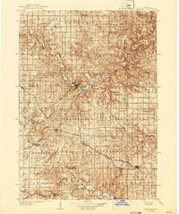
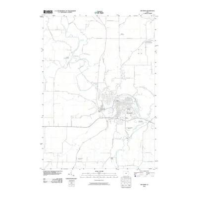
Loading map...1906 Map of Decorah
USGS Topo · Published 1906About this map
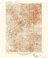
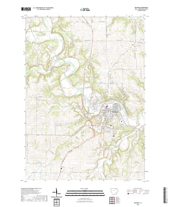
The Upper Iowa River carves a winding path through the northern reaches of Winneshiek County, framing the regional hub of Decorah. At the dawn of the 20th century, this portion of Northeast Iowa was a critical intersection for Midwestern rail traffic. Three major lines, including the Chicago Milwaukee and St Paul RR and the Chicago Rock Island and Pacific RR, converge at the rail junctions of Calmar and Ossian, supporting a landscape of productive agricultural townships.
Find a feature on this map
72 named features on this map. Tap any name to fly to it.
Don’t see what you’re looking for? This feature index may not catch every label — zoom into the map to look around manually.
Map Details
Date Portrayed1906
Date Published1906
PublisherU.S. Geological Survey
Map TypeTopographic
Scale1:125,000
Physical Dimensions15.3 x 19.6 inches
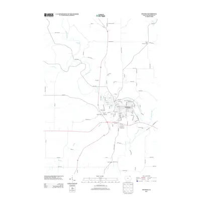
Editions of this 1906 Decorah Map
3 editions found
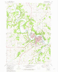
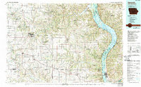
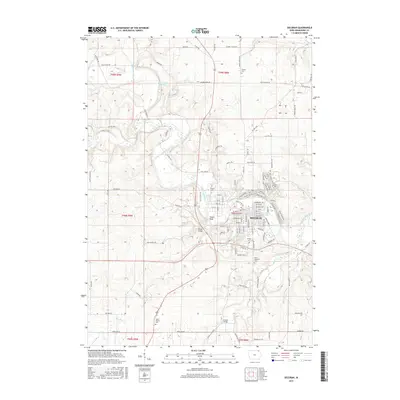
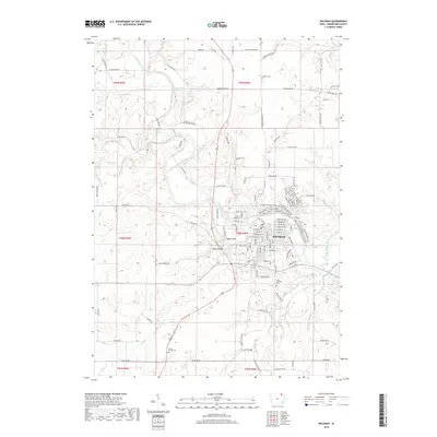
Historical Maps of Decorah Through Time
8 maps found
Featured Locations
Source Details
SourceU.S. Geological Survey
CopyrightPublic Domain