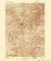
1906 Map of Decorah
USGS Topo · Published 1943About this map
The Upper Iowa River carves a winding path through the limestone bluffs of the Driftless Area, anchoring the regional center of Decorah. At the turn of the century, this landscape was defined by its transition from high prairie to deep river valleys, supporting a dense network of early townships and agricultural settlements. The convergence of the Chicago Milwaukee and St. Paul RR and the Chicago Rock Island and Pacific RR at hubs like Calmar and Ossian illustrates the era's dependence on rail for moving grain and livestock.
Find a feature on this map
76 named features on this map. Tap any name to fly to it.
Don’t see what you’re looking for? This feature index may not catch every label — zoom into the map to look around manually.
Map Details
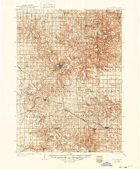
Editions of this 1906 Decorah Map
3 editions found
Other maps of this area

1901 · Oelwein
USGS Topo · 1:125,000

1902 · Elkader
USGS Topo · 1:125,000

1903 · Waukon
USGS Topo · 1:125,000

1906 · Decorah
USGS Topo · 1:125,000

1954 · Mason City
USGS Topo · 1:250,000

1954 · Waterloo
USGS Topo · 1:250,000

1955 · Waterloo
USGS Topo · 1:250,000

1956 · Brownsville
USGS Topo · 1:62,500

1957 · Mason City
USGS Topo · 1:250,000

1958 · Mason City
USGS Topo · 1:250,000