
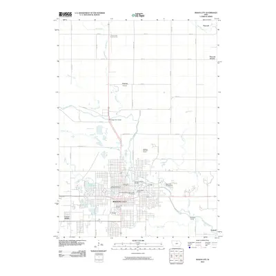
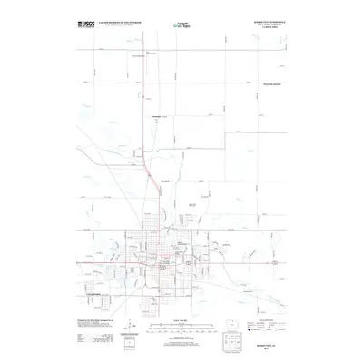
1958 Map of Mason City
USGS Topo · Published 1958About this map
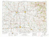
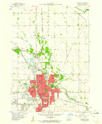
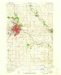
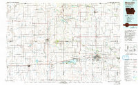
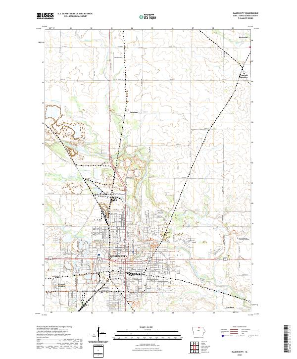
Mason City and the surrounding agricultural heartland of southern Minnesota and northern Iowa are documented here during a period of robust post-war development. This mid-century survey illustrates a landscape defined by its heavy rail infrastructure, where major lines like the Chicago Milwaukee St Paul and Pacific and the Illinois Central connect primary hubs such as Rochester and Albert Lea to smaller farm communities. The region’s hydrology is dominated by the southward flow of the Cedar River and Shell Rock River, while the recreation-focused settlement at Clear Lake stands as a notable deviation from the surrounding grid of section lines and townships. By tracing the intersections of the Chicago and North Western with established routes like U.S. 65 and U.S. 18, researchers can see the precise relationship between the historic steam-and-diesel corridors and the emerging highway system that would eventually reshape these prairie trade centers.
Find a feature on this map
65 named features on this map. Tap any name to fly to it.
Don’t see what you’re looking for? This feature index may not catch every label — zoom into the map to look around manually.
Map Details
Editions of this 1958 Mason City Map
This is the sole edition of this map. No revisions or reprints were ever made.
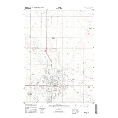
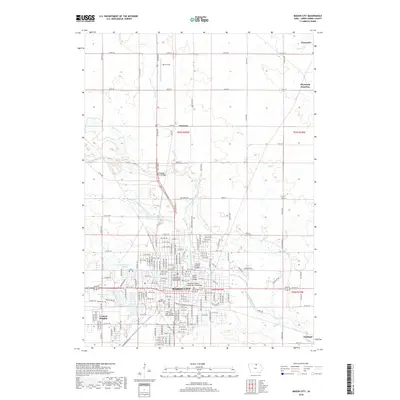
Historical Maps of Rochester Through Time
11 maps found
1954 Mason City
Cerro Gordo County, IA

1957 Mason City
Cerro Gordo County, IA
1958 Mason City
Cerro Gordo County, IA
1959 Mason City
Cerro Gordo County, IA
1959 Mason City
Cerro Gordo County, IA
1985 Mason City
Cerro Gordo County, IA
2010 Mason City
Cerro Gordo County, IA
2013 Mason City
Cerro Gordo County, IA
2015 Mason City
Cerro Gordo County, IA
2018 Mason City
Cerro Gordo County, IA
2022 Mason City
Cerro Gordo County, IA