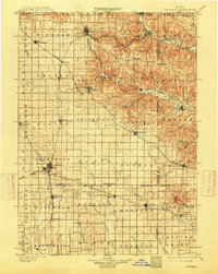
1901 Map of Oelwein
USGS Topo · Published 1914About this map
The railroad hub at Oelwein anchors this turn-of-the-century survey of northeast Iowa, where the Chicago Great Western lines converge amidst a dense network of steam-era transit. The landscape transitions from the open prairies of Jefferson township to the more dissected terrain of the Turkey River and Volga River valleys. Local industry and commerce are evident in established centers like West Union and Fayette, while smaller settlements such as St. Sebald, Forestville, and Brainard illustrate the rural social fabric before the dominance of the automobile. The map reveals a complex grid of townships, including Illyria and Fremont, interspersed with significant watercourses like the Maquoketa River and the East Branch Wapsipinicon River. This era was defined by the reach of the Chicago Rock Island and Pacific and the Chicago Milwaukee and St. Paul railroads, which facilitated the growth of timber and agricultural trade across Fayette, Buchanan, and Delaware counties.
Find a feature on this map
81 named features on this map. Tap any name to fly to it.
Don’t see what you’re looking for? This feature index may not catch every label — zoom into the map to look around manually.
Map Details
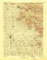
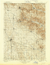
Editions of this 1901 Oelwein Map
4 editions found
Other maps of this area

1900 · Anamosa
USGS Topo · 1:125,000

1901 · Oelwein
USGS Topo · 1:125,000

1902 · Elkader
USGS Topo · 1:125,000

1903 · Waukon
USGS Topo · 1:125,000

1903 · Winthrop
USGS Topo · 1:125,000

1906 · Decorah
USGS Topo · 1:125,000

1954 · Mason City
USGS Topo · 1:250,000

1954 · Waterloo
USGS Topo · 1:250,000

1955 · Waterloo
USGS Topo · 1:250,000

1957 · Mason City
USGS Topo · 1:250,000