Old Maps of Franklin County, Iowa
Explore 99 old maps of Franklin County, spanning from 1954 to today. These high-resolution historic maps reveal how streets, neighborhoods, landmarks, and natural features evolved over time — perfect for genealogy, metal detecting, research, and local history exploration.
What you can do with these maps:
- See how Franklin County changed over time: Compare historical maps to modern-day views to trace roads, homesites, rail lines & more.
- View detailed metadata: Each map includes creators, publishers, year, scale, and archive source.
- Overlay maps with satellite & LiDAR: Visualize the past alongside modern tools to explore terrain & human change.
- Trusted historical sources: Maps sourced from the USGS, Library of Congress, and other archives.
- Access maps your way: View online, download high-res files, or order prints for personal or research use.
Start exploring old maps of Franklin County to uncover forgotten places, hidden landmarks, and the deep history beneath your feet.
Franklin County, IA maps
(99)- 1954 Map of Waterloo, 1968 Print
 1954 Waterloo1968 Print · USGSCentral Iowa at the height of its mid-century agricultural and rail boom features the growing hubs of Waterloo and Cedar Falls. Genealogists and researchers can trace the rail corridors of the Chicago Great Western and find local landmarks like Iowa State College and Brushy Ridge.4 unique versions available
 - 1955 Map of Waterloo
 1955 Waterloo1955 Print · USGSCentral Iowa in the mid-fifties presents a dense landscape of rail-connected farming towns and growing river cities. Researchers can trace ancestral roots and old transport routes through Waterloo, Marshalltown, and Ames, while locating rural Cemeteries and local Quarries.2 unique versions available
 - 1972 Map of Hansell, 1975 Print
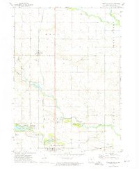
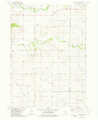
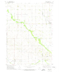 1972 Hansell1975 Print · USGSThe rural landscape of Franklin and Butler counties comes into focus in the early 1970s, showcasing the agricultural heartland of Iowa. Genealogists and local historians can trace the rail-side growth of Hansell and Aredale or locate Harlan Cem near the banks of the West Fork Cedar River.
 - 1972 Map of Alexander, 1975 Print
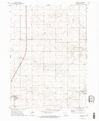
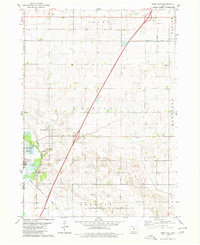
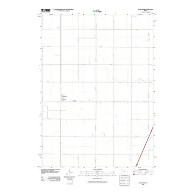
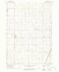 1972 Alexander1975 Print · USGSFranklin and Wright counties are shown in the early seventies as the town of Alexander grew alongside the Chicago and North Western railroad. Trace local landmarks like Loomis Memorial Park, the Cem, and an Old Railroad Grade.
 - 1972 Map of Thornton, 1975 Print
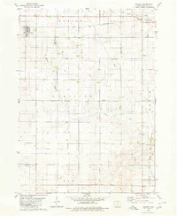
 1972 Thornton1975 Print · USGSNorthern Iowa's agricultural heartland is captured here in the early seventies, centered on the railroad towns of Thornton and Meservey. Researchers can trace the path of the Chicago and North Western rail line and locate landmarks like Pleasant View Cem.
 - 1972 Map of Dougherty, 1975 Print
 1972 Dougherty1975 Print · USGSNorth Iowa farm country at the start of the 1970s is defined by its rail connections and quiet township lines. Genealogists can locate family landmarks such as St Patricks Ch and West Fork Cem along the Chicago and North Western rail corridor.
 - 1972 Map of Swaledale, 1975 Print
 1972 Swaledale1975 Print · USGSNorth-central Iowa farmland shows its transition from natural prairie drainage to industrial agriculture in the early seventies. Genealogists can locate Township Cem and Richard Cem, while tracing the Chicago and North Western rail line through Swaledale.
 - 1972 Map of Sheffield, 1975 Print
 1972 Sheffield1975 Print · USGSThe agricultural corridor of north-central Iowa is captured here in the early seventies, centered on the towns of Rockwell and Sheffield. Trace family history at Hillside Cem or follow the path of the Chicago and North Western railroad.
 - 1972 Map of Latimer, 1975 Print
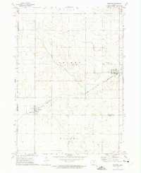
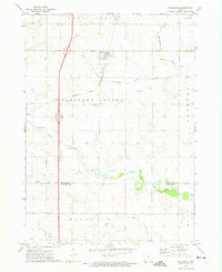
 1972 Latimer1975 Print · USGSIn the early seventies, the rural landscape of Franklin County was undergoing significant infrastructure changes. Researchers can trace family history at Old Chapin Cem, follow the Old Railroad Grade, or explore the grounds of Beeds Lake State Park.
 - 1972 Map of Hampton North, 1975 Print
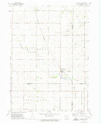
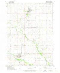
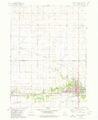
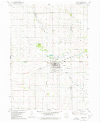
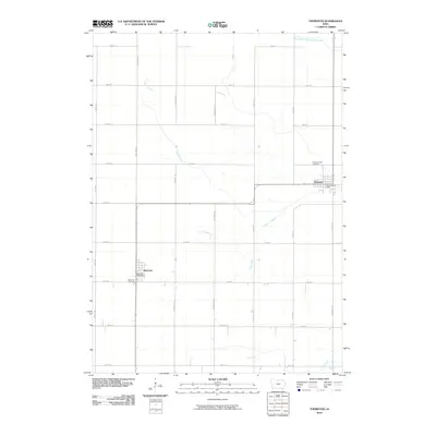
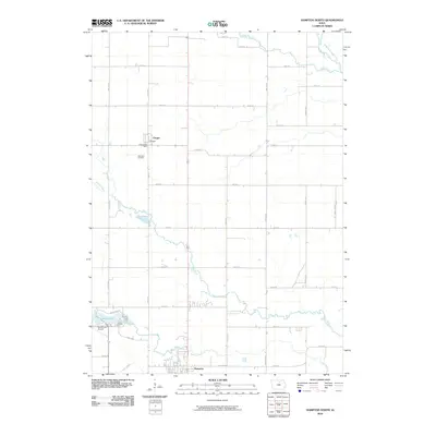
 1972 Hampton North1975 Print · USGSFranklin County's agricultural and rail heritage is well-preserved in this early 1970s landscape where the towns of Hampton and Chapin meet. Genealogists and historians can trace the Chicago Rock Island and Pacific tracks and locate the Way Side Cem or the State Fish Hatchery.
 - 1979 Map of Dows East, 1980 Print
 1979 Dows East1980 Print · USGSFranklin County's rural townships and the riverside community of Dows are captured here in the late seventies. Genealogists and local historians can locate family plots at Mount Hope Cem or trace the paths of the Chicago and North-Western and Chicago Rock Island and Pacific railroads.
 - 1979 Map of Ackley NE, 1980 Print
 1979 Ackley NE1980 Print · USGSFranklin and Butler counties are captured here in the late seventies, showing a landscape of established townships and winding creek valleys. Researchers can trace local heritage at Lindenwood Cem, the diagonal Chicago and North Western rail line, and the rural Washington Ch.
 - 1979 Map of Coulter, 1980 Print
 1979 Coulter1980 Print · USGSFranklin County's rural townships are documented here during the late 1970s, showcasing the area's agricultural and transit infrastructure. Researchers can trace the Chicago and North Western Railroad Grade and find local landmarks like St Johns Ch and Maynes Grove Cem.
 - 1979 Map of Iowa Falls West, 1980 Print
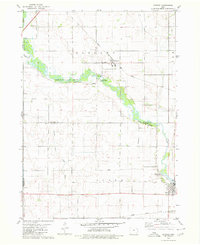
 1979 Iowa Falls West1980 Print · USGSHardin and Franklin Counties are defined by the winding Iowa River and a robust rail network in the late 1970s. Researchers can trace the development of Iowa Falls, from its many schools and Ellsworth Community College to the rural Lee Center Ch.
 - 1979 Map of Ackley, 1980 Print
 1979 Ackley1980 Print · USGSThe rural borders of four Iowa counties converge here in the late seventies, centered on a busy regional rail hub. Genealogists and local historians can locate family sites at Blakes Grove (Chapel), Oak Wood Cem, and the small settlement of Faulkner.
 - 1979 Map of Popejoy, 1980 Print
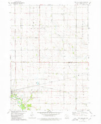
 1979 Popejoy1980 Print · USGSThe prairie landscape around Popejoy and Alden is captured here as it appeared in the late seventies. Family historians and researchers can locate the Otis Grove Cem and trace the paths of the Chicago Rock Island and Pacific railroad.
 - 1979 Map of Iowa Falls East, 1980 Print
 1979 Iowa Falls East1980 Print · USGSThe rail-and-river landscape of Hardin and Franklin Counties comes alive in the late 1970s as a busy agricultural hub. Researchers can trace the three major rail lines and locate family landmarks like Friends Cem, St Peters Ch, and the settlement of Robertson.
 - 1979 Map of Hampton South, 1980 Print
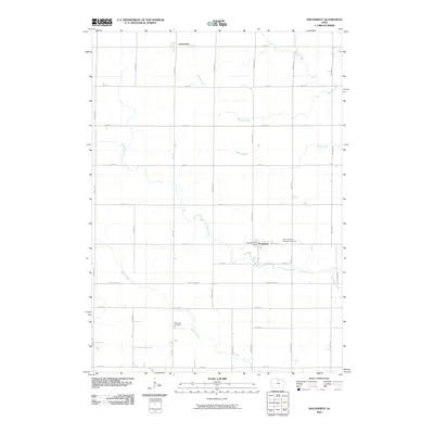
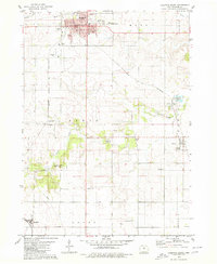 1979 Hampton South1980 Print · USGSFranklin County's agricultural heartland is documented here in the late seventies, centered on the hub of Hampton. Genealogists and historians can trace several rural burial grounds like Redding Cem and find school sites such as the Geneva Ackley Sch.
 - 1984 Map of Iowa Falls, 1985 Print
 1984 Iowa Falls1985 Print · USGSNorth-central Iowa is documented here during the mid-eighties, showing a landscape of traditional rail towns and extensive wildlife management areas. Researchers can trace family history through settlements like Belmond, Dows, and Ackley, or locate landmarks like Beeds Lake State Park.2 unique versions available
 - 2010 Map of Thornton, 2010 Print
 2010 Thornton2010 Print · USGSCovers Franklin County, including Thornton, Meservey, and other nearby areas
 - 2010 Map of Dougherty, 2010 Print
 2010 Dougherty2010 Print · USGSCovers Franklin County, including Dougherty, Cartersville, and other nearby areas
 - 2010 Map of Hampton North, 2010 Print
 2010 Hampton North2010 Print · USGSCovers Franklin County, including Hampton, Chapin, and other nearby areas
 - 2010 Map of Dows East, 2010 Print
 2010 Dows East2010 Print · USGSCovers Franklin County, including Dows, Coulter, and other nearby areas
 - 2010 Map of Ackley, 2010 Print
 2010 Ackley2010 Print · USGSCovers Franklin County, including Ackley, Faulkner, and other nearby areas
 - 2010 Map of Alexander, 2010 Print
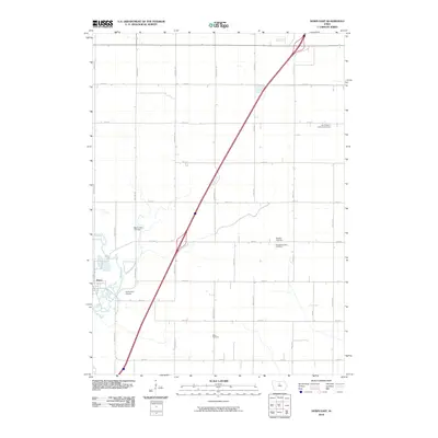
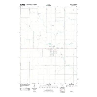
 2010 Alexander2010 Print · USGSCovers Franklin County, including Latimer, Alexander, and other nearby areas
Showing maps 1-25 of 99
Top cities of Franklin County
- Hampton historical maps
- Sheffield historical maps
- Latimer historical maps
- Coulter historical maps
- Alexander historical maps
- Geneva historical maps
See more
Frequently asked questions
- What are the different types of historical maps available for Franklin County?
- What is the oldest map of Franklin County?
- Where can I purchase historical maps of Franklin County for my home or office?
- Where can I download high-res historical maps of Franklin County?
- Are there historical topographic maps available for Franklin County?
- Is there historical aerial imagery available for Franklin County?
- Where are historical maps of Franklin County sourced from?