Old Maps of Williams Township, Iowa
Explore 29 old maps of Williams Township, spanning from 1954 to today. These high-resolution historic maps reveal how streets, neighborhoods, landmarks, and natural features evolved over time — perfect for genealogy, metal detecting, research, and local history exploration.
What you can do with these maps:
- See how Williams Township changed over time: Compare historical maps to modern-day views to trace roads, homesites, rail lines & more.
- View detailed metadata: Each map includes creators, publishers, year, scale, and archive source.
- Overlay maps with satellite & LiDAR: Visualize the past alongside modern tools to explore terrain & human change.
- Trusted historical sources: Maps sourced from the USGS, Library of Congress, and other archives.
- Access maps your way: View online, download high-res files, or order prints for personal or research use.
Start exploring old maps of Williams Township to uncover forgotten places, hidden landmarks, and the deep history beneath your feet.
Williams Township, IA maps
(29)- 1954 Map of Waterloo, 1968 Print
 1954 Waterloo1968 Print · USGSCentral Iowa at the height of its mid-century agricultural and rail boom features the growing hubs of Waterloo and Cedar Falls. Genealogists and researchers can trace the rail corridors of the Chicago Great Western and find local landmarks like Iowa State College and Brushy Ridge.4 unique versions available
 - 1955 Map of Waterloo
 1955 Waterloo1955 Print · USGSCentral Iowa in the mid-fifties presents a dense landscape of rail-connected farming towns and growing river cities. Researchers can trace ancestral roots and old transport routes through Waterloo, Marshalltown, and Ames, while locating rural Cemeteries and local Quarries.2 unique versions available
 - 1978 Map of Sheldon Creek, 1979 Print
 1978 Sheldon Creek1979 Print · USGSThe Wright and Hamilton County borderland is captured in the late 1970s, showcasing a landscape of prairie agriculture and managed waterways. Genealogists and researchers can locate the Vernon Ch, a rural Townhall, and the expansive Wall Lake.
 - 1978 Map of Williams, 1979 Print
 1978 Williams1979 Print · USGSHamilton County in the late seventies is marked by the massive intersection of major interstates amidst a traditional farming landscape. Genealogists and historians can locate the St Marys Cem, trace the Illinois Central Gulf rail line, and find the Community Hall.
 - 1979 Map of Buckeye West, 1980 Print
 1979 Buckeye West1980 Print · USGSHardin County agriculture and rail transport intersect in the late 1970s as the Chicago and North Western crosses this prairie landscape. Genealogists and local historians can trace the area around Buckeye, find the Buckeye Cem, and locate the Flowing Well County Park along the river.
 - 1979 Map of Popejoy, 1980 Print
 1979 Popejoy1980 Print · USGSThe prairie landscape around Popejoy and Alden is captured here as it appeared in the late seventies. Family historians and researchers can locate the Otis Grove Cem and trace the paths of the Chicago Rock Island and Pacific railroad.
 - 1984 Map of Iowa Falls, 1985 Print
 1984 Iowa Falls1985 Print · USGSNorth-central Iowa is documented here during the mid-eighties, showing a landscape of traditional rail towns and extensive wildlife management areas. Researchers can trace family history through settlements like Belmond, Dows, and Ackley, or locate landmarks like Beeds Lake State Park.2 unique versions available
 - 1985 Map of Ames
 1985 Ames1985 Print · USGSCentral Iowa's prairie landscape in the mid-eighties shows a well-established network of rail towns and conservation areas. Genealogists and historians can trace the paths of the Lincoln Highway and the Chicago and North Western line connecting Ames, Boone, and Webster City.
 - 1993 Map of Ames
 1993 Ames1993 Print · USGSCentral Iowa in the early nineties shows a landscape of river-fed parklands and growing academic centers. Genealogists and researchers can trace local church sites like Sts Peter and Paul Ch or navigate the corridors of the Chicago and North Western through towns like Hubbard and Stanhope.
 - 2010 Map of Buckeye West, 2010 Print
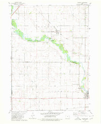
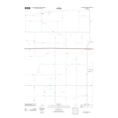
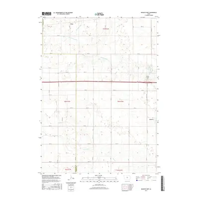
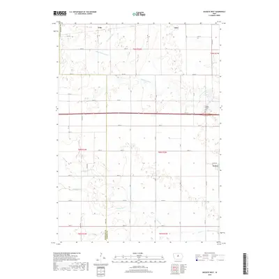
 2010 Buckeye West2010 Print · USGSCovers Williams Township, including Alden, Buckeye, and other nearby areas
 - 2010 Map of Sheldon Creek, 2010 Print
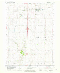
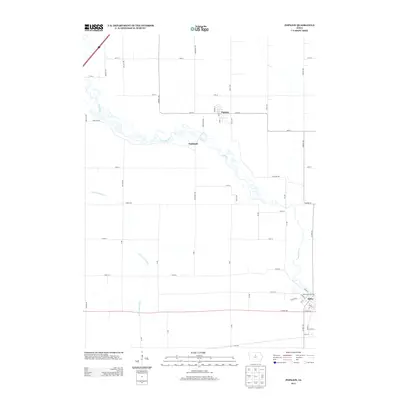
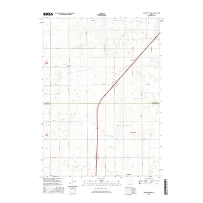
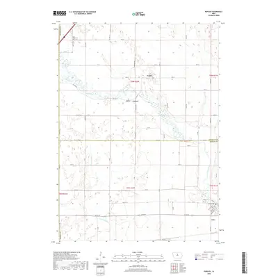
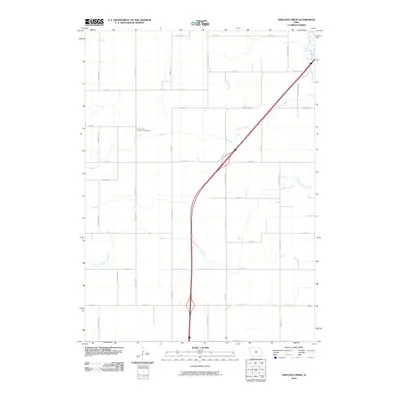 2010 Sheldon Creek2010 Print · USGSCovers Williams Township, including Williams, Blairsburg Township, and other nearby areas
 - 2010 Map of Williams, 2010 Print
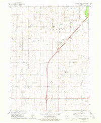
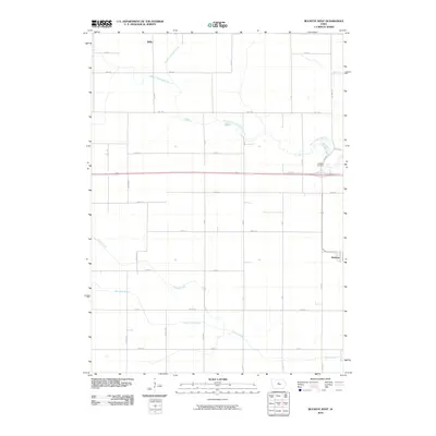
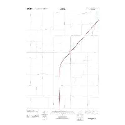
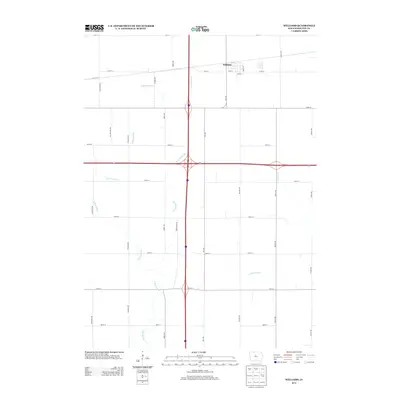
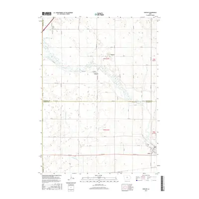
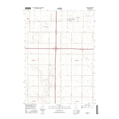
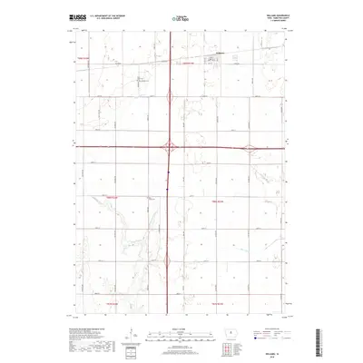
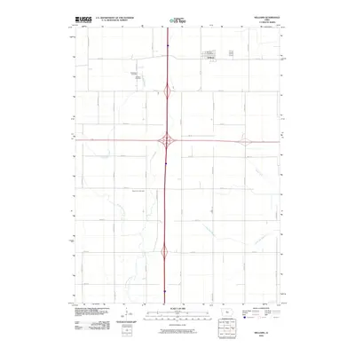 2010 Williams2010 Print · USGSCovers Williams Township, including Williams, Liberty Township, and other nearby areas
 - 2010 Map of Popejoy, 2010 Print
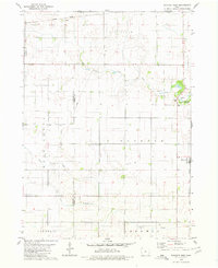
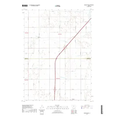
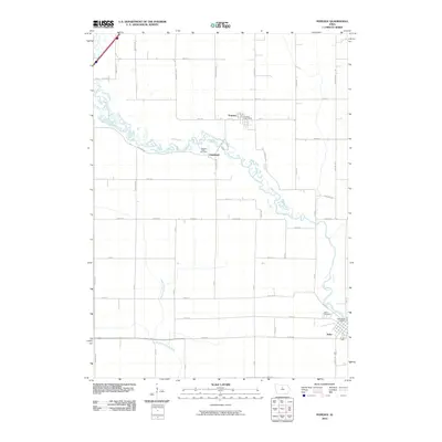 2010 Popejoy2010 Print · USGSCovers Williams Township, including Alden, Popejoy, and other nearby areas
 - 2013 Map of Sheldon Creek, 2013 Print
 2013 Sheldon Creek2013 Print · USGSCovers Williams Township, including Williams, Blairsburg Township, and other nearby areas
 - 2013 Map of Williams, 2013 Print
 2013 Williams2013 Print · USGSCovers Williams Township, including Williams, Liberty Township, and other nearby areas
 - 2013 Map of Popejoy, 2013 Print
 2013 Popejoy2013 Print · USGSCovers Williams Township, including Alden, Popejoy, and other nearby areas
 - 2013 Map of Buckeye West, 2013 Print
 2013 Buckeye West2013 Print · USGSCovers Williams Township, including Alden, Buckeye, and other nearby areas
 - 2015 Map of Buckeye West, 2015 Print
 2015 Buckeye West2015 Print · USGSCovers Williams Township, including Alden, Buckeye, and other nearby areas
 - 2015 Map of Popejoy, 2015 Print
 2015 Popejoy2015 Print · USGSCovers Williams Township, including Alden, Popejoy, and other nearby areas
 - 2015 Map of Williams, 2015 Print
 2015 Williams2015 Print · USGSCovers Williams Township, including Williams, Liberty Township, and other nearby areas
 - 2015 Map of Sheldon Creek, 2015 Print
 2015 Sheldon Creek2015 Print · USGSCovers Williams Township, including Williams, Blairsburg Township, and other nearby areas
 - 2018 Map of Williams, 2018 Print
 2018 Williams2018 Print · USGSCovers Williams Township, including Williams, Liberty Township, and other nearby areas
 - 2018 Map of Sheldon Creek, 2018 Print
 2018 Sheldon Creek2018 Print · USGSCovers Williams Township, including Williams, Blairsburg Township, and other nearby areas
 - 2018 Map of Popejoy, 2018 Print
 2018 Popejoy2018 Print · USGSCovers Williams Township, including Alden, Popejoy, and other nearby areas
 - 2018 Map of Buckeye West, 2018 Print
 2018 Buckeye West2018 Print · USGSCovers Williams Township, including Alden, Buckeye, and other nearby areas
Showing maps 1-25 of 29
Top cities near Williams Township
- Webster City historical maps
- Clarion historical maps
- Jewell historical maps
- Jewell Junction historical maps
- Alden historical maps
- Radcliffe historical maps
See more
Top neighborhoods of Williams Township
Frequently asked questions
- What are the different types of historical maps available for Williams Township?
- What is the oldest map of Williams Township?
- Where can I purchase historical maps of Williams Township for my home or office?
- Where can I download high-res historical maps of Williams Township?
- Are there historical topographic maps available for Williams Township?
- Is there historical aerial imagery available for Williams Township?
- Where are historical maps of Williams Township sourced from?