2000s (21st Century) Maps of Williams Township, Iowa
Explore 20 historic maps of Williams Township from the 2000s (21st Century). These maps offer a rare glimpse into what life looked like during the 2000s — showing old roads, neighborhoods, homes, and landmarks that have changed or disappeared over time.
Whether you're researching your family's past, planning a metal detecting trip, or studying how Williams Township's landscape evolved across the 2000s, these high-resolution maps are a powerful tool for exploring the history of this region.
- Focus on a specific era: All maps on this page are from the 2000s, giving you a focused view of this time period.
- See what’s changed: Compare century-old streets, trails, and buildings to today's modern landscape using overlays and satellite layers.
- Research with precision: Use these maps for genealogy, historical research, land use analysis, or educational projects.
- View, download, or print: Maps are fully viewable online in high resolution, and can be downloaded or printed for your own records.
Start exploring Williams Township's history through authentic maps from the 2000s. This is your window into the past.
Williams Township, IA maps
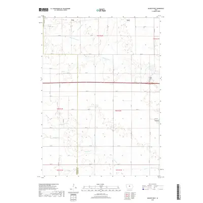
(20)- 2010 Map of Buckeye West, 2010 Print
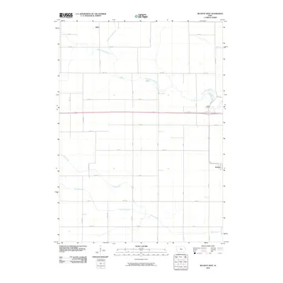 2010 Buckeye West2010 Print · USGSCovers Williams Township, including Alden, Buckeye, and other nearby areas
 - 2010 Map of Sheldon Creek, 2010 Print
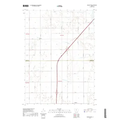
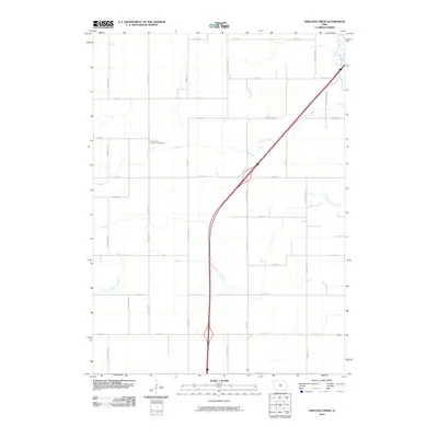 2010 Sheldon Creek2010 Print · USGSCovers Williams Township, including Williams, Blairsburg Township, and other nearby areas
 - 2010 Map of Williams, 2010 Print
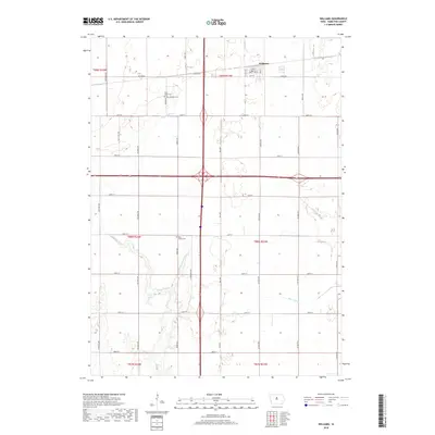
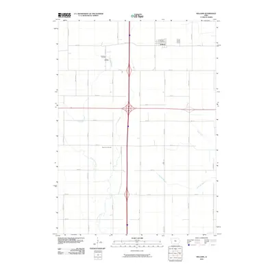 2010 Williams2010 Print · USGSCovers Williams Township, including Williams, Liberty Township, and other nearby areas
 - 2010 Map of Popejoy, 2010 Print
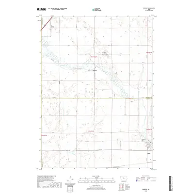
 2010 Popejoy2010 Print · USGSCovers Williams Township, including Alden, Popejoy, and other nearby areas
 - 2013 Map of Sheldon Creek, 2013 Print
 2013 Sheldon Creek2013 Print · USGSCovers Williams Township, including Williams, Blairsburg Township, and other nearby areas
 - 2013 Map of Williams, 2013 Print
 2013 Williams2013 Print · USGSCovers Williams Township, including Williams, Liberty Township, and other nearby areas
 - 2013 Map of Popejoy, 2013 Print
 2013 Popejoy2013 Print · USGSCovers Williams Township, including Alden, Popejoy, and other nearby areas
 - 2013 Map of Buckeye West, 2013 Print
 2013 Buckeye West2013 Print · USGSCovers Williams Township, including Alden, Buckeye, and other nearby areas
 - 2015 Map of Buckeye West, 2015 Print
 2015 Buckeye West2015 Print · USGSCovers Williams Township, including Alden, Buckeye, and other nearby areas
 - 2015 Map of Popejoy, 2015 Print
 2015 Popejoy2015 Print · USGSCovers Williams Township, including Alden, Popejoy, and other nearby areas
 - 2015 Map of Williams, 2015 Print
 2015 Williams2015 Print · USGSCovers Williams Township, including Williams, Liberty Township, and other nearby areas
 - 2015 Map of Sheldon Creek, 2015 Print
 2015 Sheldon Creek2015 Print · USGSCovers Williams Township, including Williams, Blairsburg Township, and other nearby areas
 - 2018 Map of Williams, 2018 Print
 2018 Williams2018 Print · USGSCovers Williams Township, including Williams, Liberty Township, and other nearby areas
 - 2018 Map of Sheldon Creek, 2018 Print
 2018 Sheldon Creek2018 Print · USGSCovers Williams Township, including Williams, Blairsburg Township, and other nearby areas
 - 2018 Map of Popejoy, 2018 Print
 2018 Popejoy2018 Print · USGSCovers Williams Township, including Alden, Popejoy, and other nearby areas
 - 2018 Map of Buckeye West, 2018 Print
 2018 Buckeye West2018 Print · USGSCovers Williams Township, including Alden, Buckeye, and other nearby areas
 - 2022 Map of Popejoy, 2022 Print
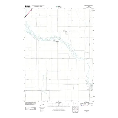
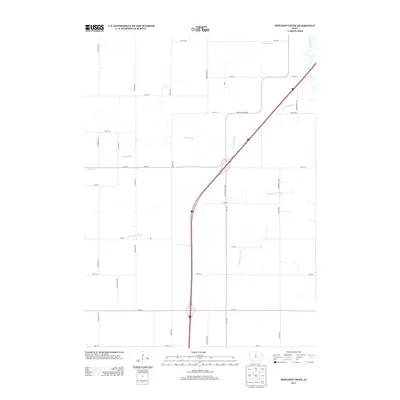
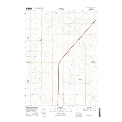
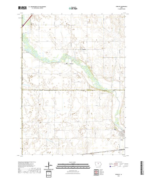 2022 Popejoy2022 Print · USGSFranklin and Hardin counties are seen here in the early twenty-first century, centered on the river-fed agricultural plains of Iowa. Researchers can trace family history through local burial sites like Oak Hill Cem and the riverfront street grid of Alden.
 - 2022 Map of Buckeye West, 2022 Print
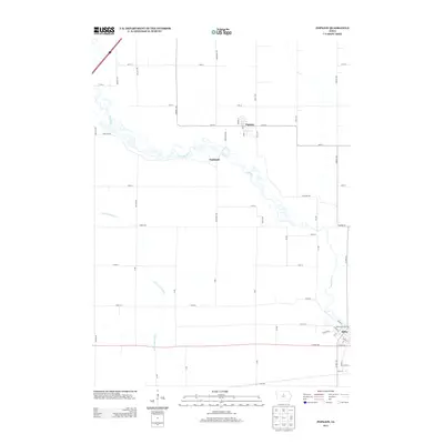
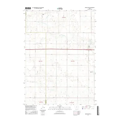
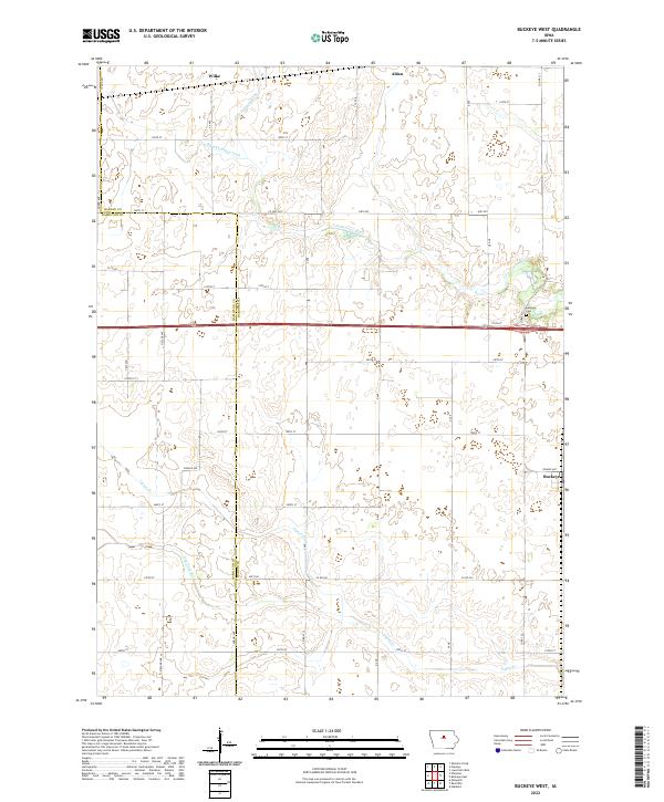 2022 Buckeye West2022 Print · USGSHardin and Hamilton counties are shown here as they appeared recently, defined by a grid of farm-to-market roads and prairie drainage systems. Genealogists and local historians can trace the area around Buckeye and Wilke, including the Buckeye Cem and the course of the S Fork Iowa River.
 - 2022 Map of Sheldon Creek, 2022 Print
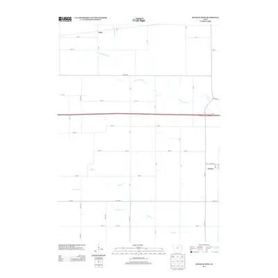
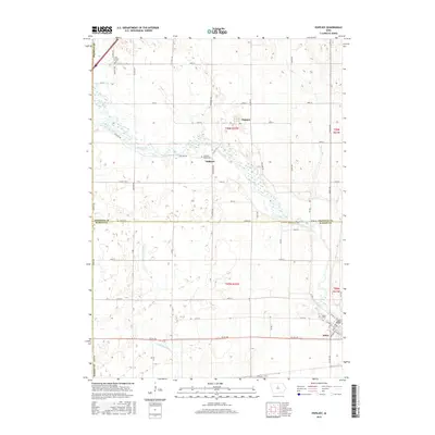
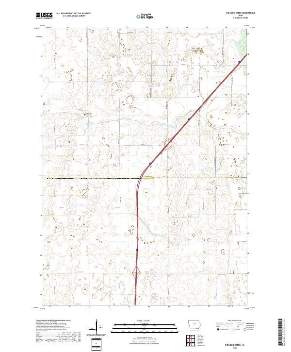 2022 Sheldon Creek2022 Print · USGSWright and Hamilton Counties are shown here in the 2020s, dominated by the winding South Fork and a vast network of section-line roads. Genealogists can locate family landmarks like Saint Pauls Lutheran Cem or trace local waterways including Sheldon Creek and Ditch Number 29.
 - 2022 Map of Williams, 2022 Print
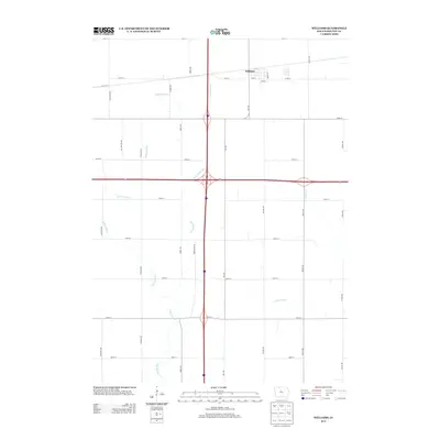
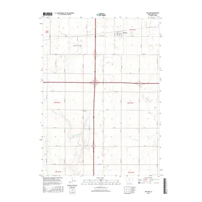
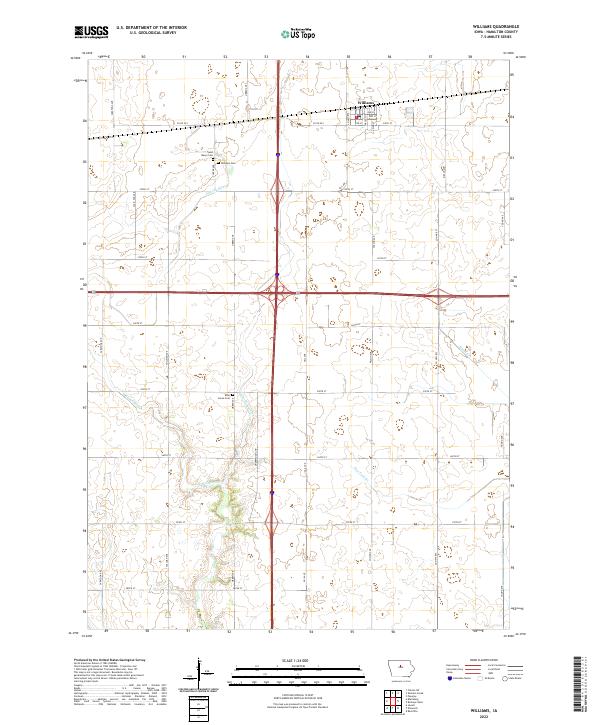 2022 Williams2022 Print · USGSThe town of Williams and the surrounding Hamilton County farmsteads are shown in detail as they appeared recently. Genealogists can locate Rose Grove Cem and Saint Marys Cem tucked between the S Skunk River and rural county highways.
End of results
Showing maps 1-20 of 20
Top cities near Williams Township
- Webster City historical maps
- Clarion historical maps
- Jewell historical maps
- Jewell Junction historical maps
- Alden historical maps
- Radcliffe historical maps
See more
Top neighborhoods of Williams Township
Frequently asked questions
- What are the different types of historical maps available for Williams Township?
- What is the oldest map of Williams Township?
- Where can I purchase historical maps of Williams Township for my home or office?
- Where can I download high-res historical maps of Williams Township?
- Are there historical topographic maps available for Williams Township?
- Is there historical aerial imagery available for Williams Township?
- Where are historical maps of Williams Township sourced from?