Old Maps of Andrew, Iowa for Academic Research
Study the evolution of Andrew with 13 high-resolution historic maps. Whether you're teaching, researching, or modeling changes in land use, these maps provide essential visual documentation of urban, environmental, and geographic change.
- Analyze long-term change: Track patterns in development, transportation, and natural features.
- Ideal for environmental or urban studies: Support academic projects with primary historical map data.
- Use in the classroom or lab: Educators and researchers rely on these maps to bring historical context to life.
These maps are a powerful tool for teaching, research, and visualizing how Andrew has changed over the decades.
Andrew, IA maps
(13)- 1891 Map of Maquoketa
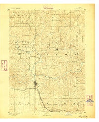 1891 Maquoketa1891 Print · USGSJackson County, Iowa, was a thriving agricultural and rail corridor in the years following the Civil War. Trace the early streets of Maquoketa and locate rural landmarks like Cottonville, Andrew, and the river crossing at Bridgeport.3 unique versions available
 - 1901 Map of Peosta
 1901 Peosta1901 Print · USGSDubuque and Jackson counties were a hub of river commerce and early rail expansion at the turn of the century. Genealogists and historians can trace the foundations of communities like Peosta, St.Donatus, and the mill sites at Washington Mills.4 unique versions available
 - 1959 Map of Dubuque, 1982 Print
 1959 Dubuque1982 Print · USGSThe Tri-State region comes alive in the mid-twentieth century as a hub of river commerce and rail transit. Genealogists and historians can trace the paths of the Illinois Central Gulf through Dubuque or locate the Savanna Ordnance Depot and Lock and Dam No 11.
 - 1961 Map of Dubuque
 1961 Dubuque1961 Print · USGSThe Tri-State region's river-and-rail landscape is captured here during the early sixties, showing the convergence of Iowa, Illinois, and Wisconsin. Trace mid-century rail lines like the Chicago Great Western Ry and explore sites like the Savanna Ordnance Depot and Backbone State Park.
 - 1962 Map of Dubuque
 1962 Dubuque1962 Print · USGSThe Tri-State region's river-and-rail economy is captured here in the early sixties, centered on the Mississippi River bluffs. Genealogists and historians can locate Numerous lead and zinc mines, the New Melleray Abbey Monastery, and rural hubs like Saint Olaf.2 unique versions available
 - 1976 Map of Dubuque
 1976 Dubuque1976 Print · USGSThe tri-state borderlands of Iowa, Wisconsin, and Illinois come alive during the mid-seventies, showing a region built on river commerce and mining. Genealogists and historians can trace the paths of the Illinois Central railroad or locate heritage sites like the New Melleray Abbey Monastery and Backbone State Park.
 - 1980 Map of Andrew, 1981 Print
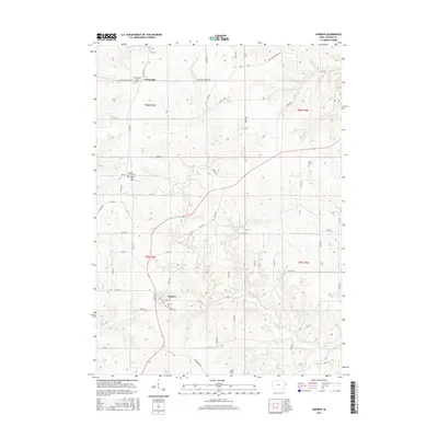
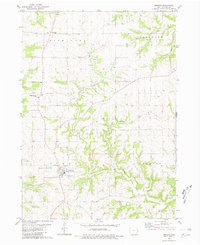 1980 Andrew1981 Print · USGSEastern Iowa's rolling farmland and township boundaries are clearly defined in this early 1980s look at the area around Andrew. Researchers can trace old family cemetery plots at St Johns Cem and the County Cem, or locate the rural crossroads of Cottonville.
 - 1984 Map of Dubuque South, 1985 Print
 1984 Dubuque South1985 Print · USGSEastern Iowa and Northwest Illinois meet along the Mississippi in the mid-eighties, a landscape defined by river industry and limestone bluffs. Trace the rail lines of the Illinois Central Gulf or explore notable sites like the Savanna Army Depot and Maquoketa Caves State Park.4 unique versions available
 - 2010 Map of Andrew, 2010 Print
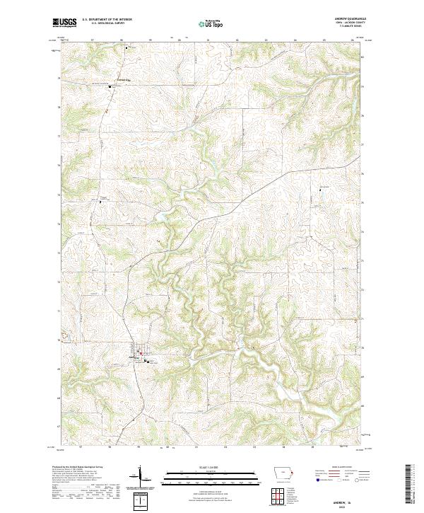
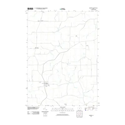 2010 Andrew2010 Print · USGSCovers Andrew, including Cottonville, Jackson County, and other nearby areas
 - 2013 Map of Andrew, 2013 Print
 2013 Andrew2013 Print · USGSCovers Andrew, including Cottonville, Jackson County, and other nearby areas
 - 2015 Map of Andrew, 2015 Print
 2015 Andrew2015 Print · USGSCovers Andrew, including Cottonville, Jackson County, and other nearby areas
 - 2018 Map of Andrew, 2018 Print
 2018 Andrew2018 Print · USGSCovers Andrew, including Cottonville, Jackson County, and other nearby areas
 - 2022 Map of Andrew, 2022 Print
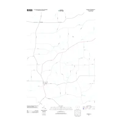
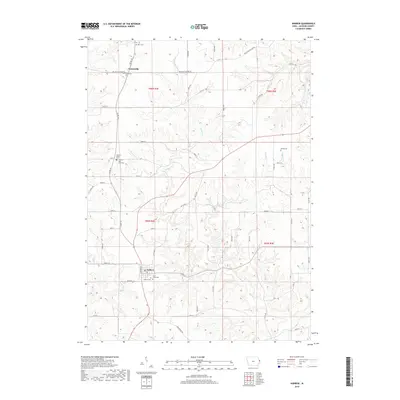
 2022 Andrew2022 Print · USGSJackson County's rolling farmland and small-town centers are captured here in the early twenty-first century. Researchers can trace family history through numerous rural landmarks, including Jackson County Cem, Cottonville, and Saint John Cem.
End of results
Showing maps 1-13 of 13
Top cities near Andrew
- Maquoketa historical maps
- Bellevue historical maps
- Preston historical maps
- Delmar historical maps
- Lost Nation historical maps
- Charlotte historical maps
See more
Frequently asked questions
- What are the different types of historical maps available for Andrew?
- What is the oldest map of Andrew?
- Where can I purchase historical maps of Andrew for my home or office?
- Where can I download high-res historical maps of Andrew?
- Are there historical topographic maps available for Andrew?
- Is there historical aerial imagery available for Andrew?
- Where are historical maps of Andrew sourced from?