Old Maps of Midland, Iowa for Genealogy
Trace your family roots with 9 historic maps of Midland. These high-res maps reveal old neighborhoods, homesites, landmarks, and streets — helping you uncover where your ancestors lived and how the area evolved over time.
- Explore historic neighborhoods: Identify where your relatives may have lived in the 1800s or 1900s.
- Compare maps over time: Trace the changes in streets, buildings, and landmarks for multi-generational research.
- Perfect for genealogy & ancestry research: Used by family historians and researchers to map out lineage and migration.
These maps are an incredible resource for exploring your personal connection to Midland's past.
Midland, IA maps
(9)- 1955 Map of Sioux Falls, 1967 Print
 1955 Sioux Falls1967 Print · USGSThe eastern South Dakota and western Minnesota borderlands come alive in the mid-fifties, showing the vital rail-to-river connections of the era. Genealogists can trace family footprints across townships like Madison and Pipestone, while following the paths of the Big Sioux River and the Chicago and North Western line.3 unique versions available
 - 1958 Map of Sioux Falls
 1958 Sioux Falls1958 Print · USGSThe tri-state borderlands of South Dakota, Minnesota, and Iowa are captured here during the mid-century peak of the regional rail network. Genealogists and historians can trace local landmarks like Augustana Academy, the St Marys Cem, and the path of the Illinois Central through Rock Rapids.
 - 1971 Map of Edna, 1973 Print
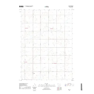
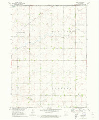 1971 Edna1973 Print · USGSLyon County, Iowa, is captured in the early seventies at a crossroads of the regional rail system. Genealogists and rail historians can trace the intersecting lines of the Illinois Central and Chicago Rock Island and Pacific near Edna.
 - 1985 Map of Rock Rapids
 1985 Rock Rapids1985 Print · USGSThe borderlands of South Dakota and Iowa come into focus in the mid-1980s, centered on the fertile valleys of the Big Sioux River. Genealogists and researchers can trace rural homesteads near Rock Rapids, find Dordt College in Sioux Center, or locate old burial sites like Grace Hill Cem.2 unique versions available
 - 2010 Map of Edna, 2010 Print
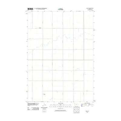 2010 Edna2010 Print · USGSCovers Midland, including Edna, Lyon County, and other nearby areas
 - 2013 Map of Edna, 2013 Print
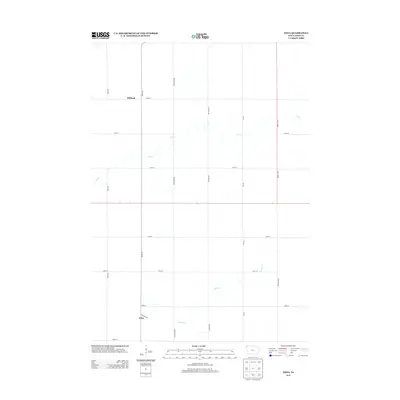 2013 Edna2013 Print · USGSCovers Midland, including Edna, Lyon County, and other nearby areas
 - 2015 Map of Edna, 2015 Print
 2015 Edna2015 Print · USGSCovers Midland, including Edna, Lyon County, and other nearby areas
 - 2018 Map of Edna, 2018 Print
 2018 Edna2018 Print · USGSCovers Midland, including Edna, Lyon County, and other nearby areas
 - 2022 Map of Edna, 2022 Print
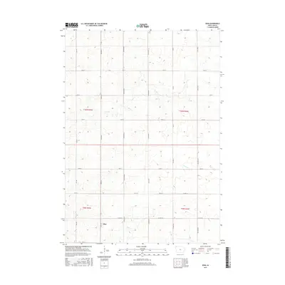
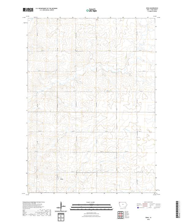 2022 Edna2022 Print · USGSLyon County at the start of the 2020s remains a landscape of deep agricultural roots and established townships. Genealogists and local historians can map out the rural sections surrounding Edna, tracing the paths of Tom Cr and Co Hwy A22.
End of results
Showing maps 1-9 of 9
Top cities near Midland
- Luverne historical maps
- Rock Rapids historical maps
- Adrian historical maps
- George historical maps
- Doon historical maps
- Ellsworth historical maps
See more
Frequently asked questions
- What are the different types of historical maps available for Midland?
- What is the oldest map of Midland?
- Where can I purchase historical maps of Midland for my home or office?
- Where can I download high-res historical maps of Midland?
- Are there historical topographic maps available for Midland?
- Is there historical aerial imagery available for Midland?
- Where are historical maps of Midland sourced from?