Old Maps of Buffalo, Iowa for Genealogy
Trace your family roots with 26 historic maps of Buffalo. These high-res maps reveal old neighborhoods, homesites, landmarks, and streets — helping you uncover where your ancestors lived and how the area evolved over time.
- Explore historic neighborhoods: Identify where your relatives may have lived in the 1800s or 1900s.
- Compare maps over time: Trace the changes in streets, buildings, and landmarks for multi-generational research.
- Perfect for genealogy & ancestry research: Used by family historians and researchers to map out lineage and migration.
These maps are an incredible resource for exploring your personal connection to Buffalo's past.
Buffalo, IA maps
(26)- 1912 Map of Milan
 1912 Milan1912 Print · USGSThe river confluence and burgeoning rail networks of Rock Island County are captured here just before the First World War. Researchers can trace the legacy of early industry and education through sites like the Coal Valley Mine, Blackhawk Watchtower, and Excelsior School.7 unique versions available
 - 1916 Map of Edgington
 1916 Edgington1916 Print · USGSThe river-and-rail corridor along the Mississippi border emerges in high detail during the early twentieth century. Genealogists and local historians can trace the rural landscape through a dense network of country schools like Whiteoak School and New Era, alongside river features like Geneva Island.3 unique versions available
 - 1938 Map of Edgington, 1955 Print
 1938 Edgington1955 Print · USGSThe Mississippi River corridor in the late thirties shows a landscape of active rail lines and riverfront industry. Genealogists can trace rural family roots through numerous local landmarks like Jimtown, White Eagle School, and Buffalo Center School.
 - 1944 Map of Milan, 1958 Print
 1944 Milan1958 Print · USGSThe Illinois-Iowa border comes alive in the 1940s, highlighting the industrial riverfronts and the rural interior of Rock Island and Mercer Counties. Trace family roots and local industry at the Coal Valley Mine, the US Arsenal, or the vanished schoolhouses like Doxie School.
 - 1953 Map of Andalusia, 1958 Print
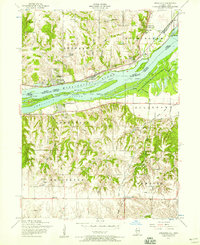 1953 Andalusia1958 Print · USGSThe Mississippi River corridor south of Davenport is captured here in the early fifties, showing a landscape defined by rail lines and river islands. Researchers can locate rural landmarks like Asbury Cemetery, Buffalo Heights, and the Coon Hunters Club along the bluffs.3 unique versions available
 - 1953 Map of Montpelier, 1958 Print
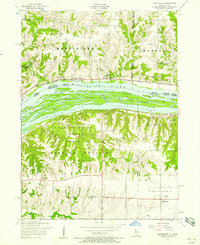 1953 Montpelier1958 Print · USGSThe Mississippi River corridor near the Iowa-Illinois border is captured here during the 1950s, showing a landscape of riverfront recreation and rural industry. Researchers can find the Old Pine Creek Mill, early schools like White Lake School, and the community at Edgington.3 unique versions available
 - 1953 Map of Milan, 1959 Print
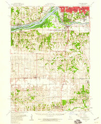 1953 Milan1959 Print · USGSRock Island County and the Mississippi riverfront are captured here in the mid-fifties, showing the region's transition from river-town industry to suburban growth. Genealogists and historians can locate numerous rural landmarks like St Josephs Ch, Colony Cem, and the old Edgington Sch.
 - 1953 Map of Edgington, 1960 Print
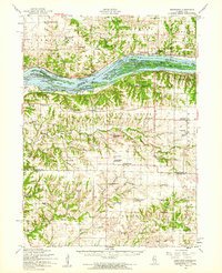 1953 Edgington1960 Print · USGSThe Mississippi River valley comes alive in the early fifties, showing a landscape of sloughs and islands between Iowa and Illinois. Researchers can trace rural lineages through the Buffalo Prairie Cem, Sweetland Center, and dozens of named schoolhouses.
 - 1958 Map of Davenport, 1968 Print
 1958 Davenport1968 Print · USGSEastern Iowa and western Illinois thrive along the river during the late fifties, defined by the industrial Quad Cities and a robust rail network. Genealogists can trace family roots through settlements like Oasis and Stanwood or along the Cedar River.2 unique versions available
 - 1961 Map of Davenport
 1961 Davenport1961 Print · USGSThe Quad Cities and the eastern Iowa riverlands are captured here in the early sixties, showing the region's transition into a modern industrial and transit hub. Genealogists and historians can trace the paths of major railroads and find river landmarks like Rock Island Arsenal, Huron Island, and the Coralville Reservoir.
 - 1962 Map of Davenport
 1962 Davenport1962 Print · USGSThe Quad Cities and the Mississippi River corridor are shown at their industrial peak just before the interstate era fully transformed the region. Researchers can trace the sprawling rail networks of the Chicago Rock Island and Pacific and find landmarks like the Rock Island Arsenal and Wild Cat Den State Park.
 - 1984 Map of Aledo, 1985 Print
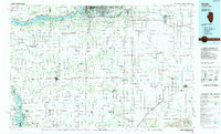 1984 Aledo1985 Print · USGSThe Mississippi River borderlands and Illinois heartland are captured here in the mid-eighties as industry and agriculture overlap. Trace the Hennepin Canal, the historic Swedish colony at Bishop Hill, and the rail corridors of the Burlington Northern.
 - 1989 Map of Aledo
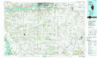 1989 Aledo1989 Print · USGSWestern Illinois and eastern Iowa are shown here during the late twentieth century, when the river-and-rail economy still defined the Quad Cities and the surrounding prairie. Researchers can trace historic settlements like Bishop Hill and Millersburg alongside active routes like the Chicago Rock Island & Pacific RR.
 - 1991 Map of Andalusia, 1992 Print
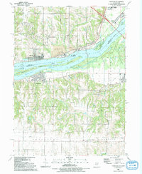 1991 Andalusia1992 Print · USGSThe Mississippi River valley comes into focus during the early nineties, showing the industrial and residential growth of the Quad Cities periphery. Trace the evolution of transport and burials via the Old RR GB, Asbury Cem, and the riverside town of Andalusia.
 - 1991 Map of Montpelier, 1992 Print
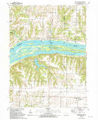 1991 Montpelier1992 Print · USGSThe Mississippi River corridor near the Iowa-Illinois border is documented here in the early nineties, showing a landscape defined by island channels and bluff-top settlements. Researchers can locate Edgington and Montpelier, or trace the grounds of Loud Thunder Camp and St Patricks Ch.
 - 2010 Map of Andalusia, 2010 Print
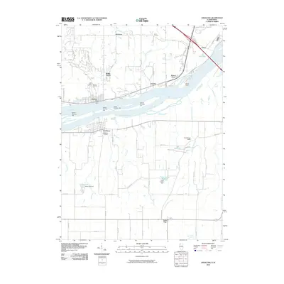 2010 Andalusia2010 Print · USGSThe riverfront settlements of Buffalo and Andalusia sit on opposite banks of the Mississippi River during the early twenty-first century. Researchers can trace local lineage at Rose Hill Cemetery or explore the drainage of Turkey Hollow Creek near the Army Ridge Bluffs.
 - 2010 Map of Montpelier, 2010 Print
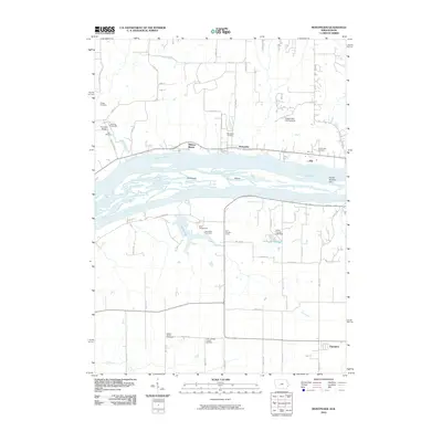 2010 Montpelier2010 Print · USGSThe Mississippi River corridor between Iowa and Illinois is captured here in the early twenty-first century, showing the complex braids of Velie Chute. Researchers can locate historic sites like Old Pine Creek Mill, Dodge Cemetery, and the Buffalo Prairie Town Hall.
 - 2012 Map of Andalusia, 2012 Print
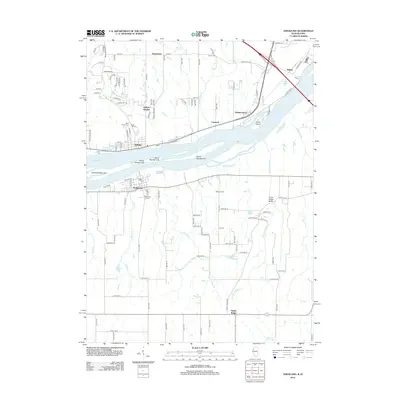 2012 Andalusia2012 Print · USGSThe Mississippi River corridor between Iowa and Illinois is captured here in the early 2010s, showing a landscape defined by island channels and bluff-side settlements. Local historians can trace the layouts of Buffalo, Andalusia, and Nahant, or locate family sites near Rose Hill Cem and the Turkey Hollow Reservoir.
 - 2013 Map of Montpelier, 2013 Print
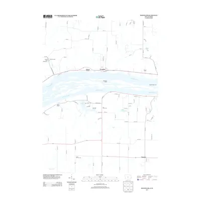 2013 Montpelier2013 Print · USGSThe Mississippi River corridor between Iowa and Illinois comes into focus in this recent survey, featuring the riverside communities of Montpelier and Midway Beach. Genealogists and historians can locate the Buffalo Prairie Town Hall, the historic Old Pine Creek Mill, and local recreational landmarks like Loud Thunder Camp.
 - 2015 Map of Andalusia, 2015 Print
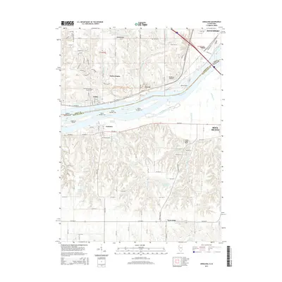 2015 Andalusia2015 Print · USGSThe Mississippi River corridor is captured here at a moment of modern growth between Iowa and Illinois. Genealogists can trace family sites at Saint Peter's Cem or Asbury Cem and locate homes in riverside communities like Buffalo and Andalusia.
 - 2015 Map of Montpelier, 2015 Print
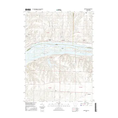 2015 Montpelier2015 Print · USGSThe Mississippi River corridor between Iowa and Illinois is captured here in the mid-2010s, showing a mix of riverside hamlets and upland farms. Researchers can trace local heritage through sites like Pine Mill Bridge, Zion Lutheran Church Cem, and the riverfront at Buffalo.
 - 2018 Map of Andalusia, 2018 Print
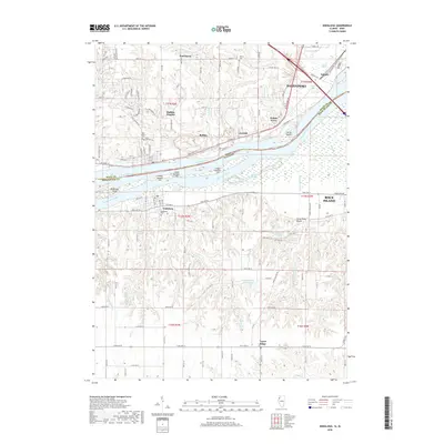 2018 Andalusia2018 Print · USGSThe Mississippi River corridor and its surrounding river towns are shown in great detail during the late 2010s. Researchers can trace the industrial layout of Davenport or locate family sites at Andalusia Cem and Saint Peter's Cem.
 - 2018 Map of Montpelier, 2018 Print
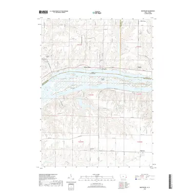 2018 Montpelier2018 Print · USGSThe riverfront communities of eastern Iowa and western Illinois are captured here in the late twenty-teens, showing the braided channels of the Mississippi River. Genealogists and local historians can locate the Pine Mill Bridge and several old burial grounds including Nye Cem and the Zion Lutheran Church Cem.
 - 2021 Map of Andalusia, 2021 Print
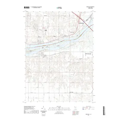 2021 Andalusia2021 Print · USGSThe Mississippi River corridor near the Iowa-Illinois border is documented here in the early 2020s, showing the interaction between industrial Davenport and rural Andalusia. Genealogists can locate several historic burial sites, such as Rose Hill Cem, Chapel Hill Cem, and Saint Peter's Cem.
 - 2022 Map of Montpelier, 2022 Print
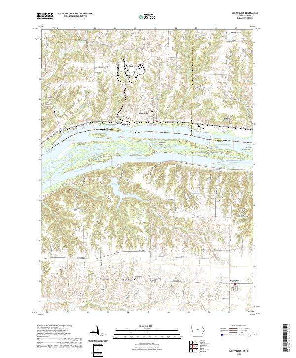 2022 Montpelier2022 Print · USGSThe Mississippi River divides Iowa and Illinois in this detailed 2022 survey, showcasing the braided channels and islands of the Muscatine and Rock Island border. Genealogists and local historians can locate several rural burying grounds, including Dodge Cem and Montpelier Cem, alongside the settlements of Buffalo and Edgington.
Showing maps 1-25 of 26
Top cities near Buffalo
- Davenport historical maps
- Moline historical maps
- Bettendorf historical maps
- Rock Island historical maps
- Eldridge historical maps
- Milan historical maps
See more
Top neighborhoods of Buffalo
Frequently asked questions
- What are the different types of historical maps available for Buffalo?
- What is the oldest map of Buffalo?
- Where can I purchase historical maps of Buffalo for my home or office?
- Where can I download high-res historical maps of Buffalo?
- Are there historical topographic maps available for Buffalo?
- Is there historical aerial imagery available for Buffalo?
- Where are historical maps of Buffalo sourced from?