Old Maps of Lincoln Township, Iowa
Explore 28 old maps of Lincoln Township, spanning from 1954 to today. These high-resolution historic maps reveal how streets, neighborhoods, landmarks, and natural features evolved over time — perfect for genealogy, metal detecting, research, and local history exploration.
What you can do with these maps:
- See how Lincoln Township changed over time: Compare historical maps to modern-day views to trace roads, homesites, rail lines & more.
- View detailed metadata: Each map includes creators, publishers, year, scale, and archive source.
- Overlay maps with satellite & LiDAR: Visualize the past alongside modern tools to explore terrain & human change.
- Trusted historical sources: Maps sourced from the USGS, Library of Congress, and other archives.
- Access maps your way: View online, download high-res files, or order prints for personal or research use.
Start exploring old maps of Lincoln Township to uncover forgotten places, hidden landmarks, and the deep history beneath your feet.
Lincoln Township, IA maps
(28)- 1954 Map of Waterloo, 1968 Print
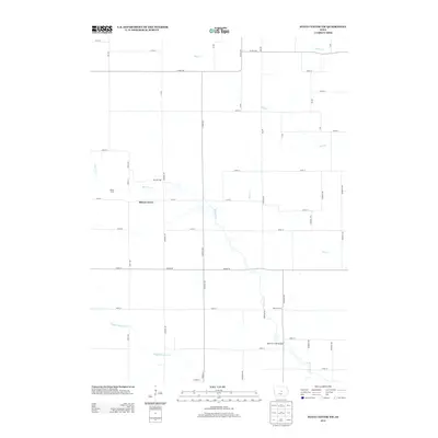
 1954 Waterloo1968 Print · USGSCentral Iowa at the height of its mid-century agricultural and rail boom features the growing hubs of Waterloo and Cedar Falls. Genealogists and researchers can trace the rail corridors of the Chicago Great Western and find local landmarks like Iowa State College and Brushy Ridge.4 unique versions available
 - 1955 Map of Waterloo
 1955 Waterloo1955 Print · USGSCentral Iowa in the mid-fifties presents a dense landscape of rail-connected farming towns and growing river cities. Researchers can trace ancestral roots and old transport routes through Waterloo, Marshalltown, and Ames, while locating rural Cemeteries and local Quarries.2 unique versions available
 - 1975 Map of State Center NW, 1978 Print
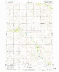 1975 State Center NW1978 Print · USGSMarshall County farmsteads and creek valleys are documented here in the mid-seventies, showing the rural landscape before further consolidation. Researchers can locate St Anthony, several Gravel Pits, and local landmarks like Illinois Grove Cem.
 - 1975 Map of State Center, 1978 Print
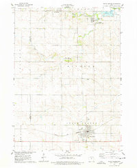 1975 State Center1978 Print · USGSCentral Marshall County thrived in the mid-seventies as a hub of rail activity and rural settlement. Researchers can trace the Chicago and Northwestern line or locate family sites like Sacred Heart Cem and St Johns Ch.
 - 1975 Map of Zearing, 1978 Print
 1975 Zearing1978 Print · USGSZearing and the surrounding Story County farmland are shown here in the mid-seventies just as the old rail lines were being retired. Genealogists and researchers can locate the Cem, trace the winding Minerva Creek, and find local landmarks like Dakins Lake.
 - 1975 Map of Colo, 1978 Print
 1975 Colo1978 Print · USGSColo and its surrounding townships are captured here in the mid-1970s, showcasing the intersection of the prairie rail lines and rural community life. Researchers can locate family sites near Oak Hill Cem, Townhall, and the Chicago and North Western tracks.
 - 1985 Map of Ames
 1985 Ames1985 Print · USGSCentral Iowa's prairie landscape in the mid-eighties shows a well-established network of rail towns and conservation areas. Genealogists and historians can trace the paths of the Lincoln Highway and the Chicago and North Western line connecting Ames, Boone, and Webster City.
 - 1993 Map of Ames
 1993 Ames1993 Print · USGSCentral Iowa in the early nineties shows a landscape of river-fed parklands and growing academic centers. Genealogists and researchers can trace local church sites like Sts Peter and Paul Ch or navigate the corridors of the Chicago and North Western through towns like Hubbard and Stanhope.
 - 2010 Map of State Center NW, 2010 Print
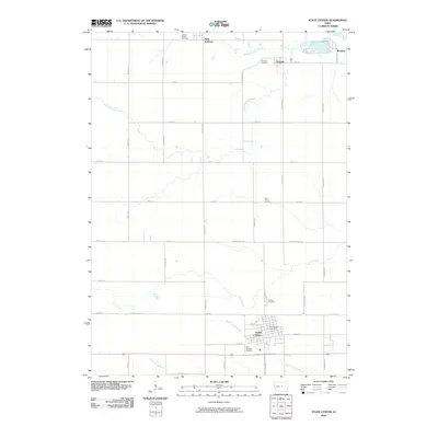
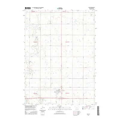
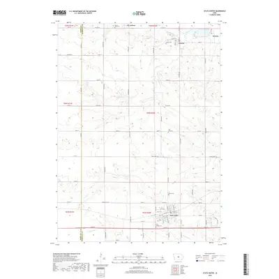
 2010 State Center NW2010 Print · USGSCovers Lincoln Township, including St. Anthony, Liberty Township, and other nearby areas
 - 2010 Map of State Center, 2010 Print
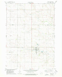
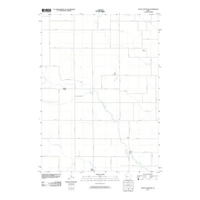
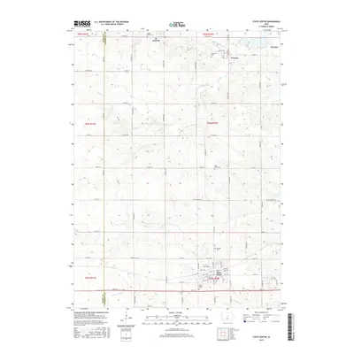
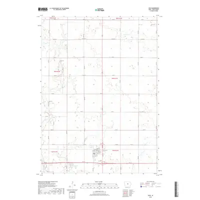
 2010 State Center2010 Print · USGSCovers Lincoln Township, including State Center, Clemons, and other nearby areas
 - 2010 Map of Colo, 2010 Print
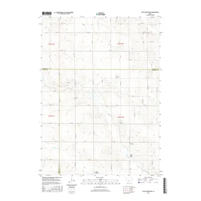
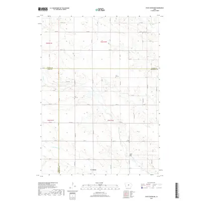
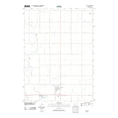 2010 Colo2010 Print · USGSCovers Lincoln Township, including Colo, Richland Township, and other nearby areas
 - 2010 Map of Zearing, 2010 Print
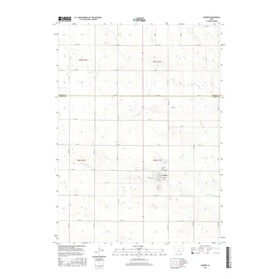
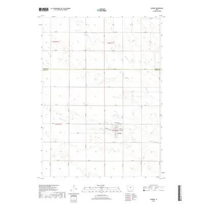
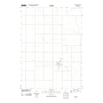 2010 Zearing2010 Print · USGSCovers Lincoln Township, including Zearing, Warren Township, and other nearby areas
 - 2013 Map of State Center NW, 2013 Print
 2013 State Center NW2013 Print · USGSCovers Lincoln Township, including St. Anthony, Liberty Township, and other nearby areas
 - 2013 Map of Colo, 2013 Print
 2013 Colo2013 Print · USGSCovers Lincoln Township, including Colo, Richland Township, and other nearby areas
 - 2013 Map of Zearing, 2013 Print
 2013 Zearing2013 Print · USGSCovers Lincoln Township, including Zearing, Warren Township, and other nearby areas
 - 2013 Map of State Center, 2013 Print
 2013 State Center2013 Print · USGSCovers Lincoln Township, including State Center, Clemons, and other nearby areas
 - 2015 Map of State Center, 2015 Print
 2015 State Center2015 Print · USGSCovers Lincoln Township, including State Center, Clemons, and other nearby areas
 - 2015 Map of Zearing, 2015 Print
 2015 Zearing2015 Print · USGSCovers Lincoln Township, including Zearing, Warren Township, and other nearby areas
 - 2015 Map of Colo, 2015 Print
 2015 Colo2015 Print · USGSCovers Lincoln Township, including Colo, Richland Township, and other nearby areas
 - 2015 Map of State Center NW, 2015 Print
 2015 State Center NW2015 Print · USGSCovers Lincoln Township, including St. Anthony, Liberty Township, and other nearby areas
 - 2018 Map of Colo, 2018 Print
 2018 Colo2018 Print · USGSCovers Lincoln Township, including Colo, Richland Township, and other nearby areas
 - 2018 Map of State Center, 2018 Print
 2018 State Center2018 Print · USGSCovers Lincoln Township, including State Center, Clemons, and other nearby areas
 - 2018 Map of Zearing, 2018 Print
 2018 Zearing2018 Print · USGSCovers Lincoln Township, including Zearing, Warren Township, and other nearby areas
 - 2018 Map of State Center NW, 2018 Print
 2018 State Center NW2018 Print · USGSCovers Lincoln Township, including St. Anthony, Liberty Township, and other nearby areas
 - 2022 Map of State Center, 2022 Print
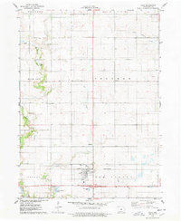
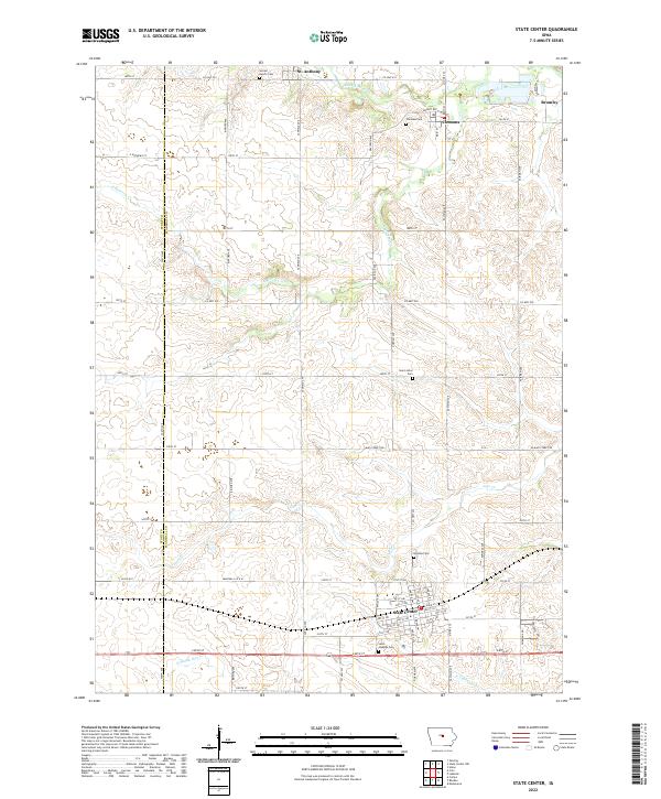 2022 State Center2022 Print · USGSCentral Iowa's agricultural heartland is mapped here in the modern era, showing the enduring grid of Marshall and Story counties. Genealogists can locate family plots at Sacred Hearts Cem or Hillside Cem and trace the paths of the N Skunk River and Linn Cr.
Showing maps 1-25 of 28
Top cities near Lincoln Township
- Nevada historical maps
- Eldora historical maps
- State Center historical maps
- Roland historical maps
- Hubbard historical maps
- Colo historical maps
See more
Top neighborhoods of Lincoln Township
Frequently asked questions
- What are the different types of historical maps available for Lincoln Township?
- What is the oldest map of Lincoln Township?
- Where can I purchase historical maps of Lincoln Township for my home or office?
- Where can I download high-res historical maps of Lincoln Township?
- Are there historical topographic maps available for Lincoln Township?
- Is there historical aerial imagery available for Lincoln Township?
- Where are historical maps of Lincoln Township sourced from?