Old Maps of Eldora, Iowa
Explore 22 old maps of Eldora, spanning from 1954 to today. These high-resolution historic maps reveal how streets, neighborhoods, landmarks, and natural features evolved over time — perfect for genealogy, metal detecting, research, and local history exploration.
What you can do with these maps:
- See how Eldora changed over time: Compare historical maps to modern-day views to trace roads, homesites, rail lines & more.
- View detailed metadata: Each map includes creators, publishers, year, scale, and archive source.
- Overlay maps with satellite & LiDAR: Visualize the past alongside modern tools to explore terrain & human change.
- Trusted historical sources: Maps sourced from the USGS, Library of Congress, and other archives.
- Access maps your way: View online, download high-res files, or order prints for personal or research use.
Start exploring old maps of Eldora to uncover forgotten places, hidden landmarks, and the deep history beneath your feet.
Eldora, IA maps
(22)- 1954 Map of Waterloo, 1968 Print
 1954 Waterloo1968 Print · USGSCentral Iowa at the height of its mid-century agricultural and rail boom features the growing hubs of Waterloo and Cedar Falls. Genealogists and researchers can trace the rail corridors of the Chicago Great Western and find local landmarks like Iowa State College and Brushy Ridge.4 unique versions available
 - 1955 Map of Waterloo
 1955 Waterloo1955 Print · USGSCentral Iowa in the mid-fifties presents a dense landscape of rail-connected farming towns and growing river cities. Researchers can trace ancestral roots and old transport routes through Waterloo, Marshalltown, and Ames, while locating rural Cemeteries and local Quarries.2 unique versions available
 - 1979 Map of Steamboat Rock, 1980 Print
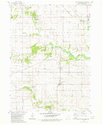
 1979 Steamboat Rock1980 Print · USGSThe Hardin and Grundy county line comes alive in the late 1970s as the Iowa River winds through a series of conservation areas. You can trace family roots at Hazel Green Cem or follow the historic tracks of the Chicago and North Western railroad near Abbott.
 - 1979 Map of New Providence, 1980 Print
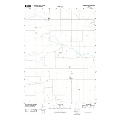
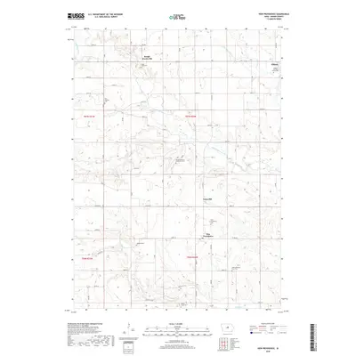
 1979 New Providence1980 Print · USGSHardin County agriculture and institutions define this area in the late 1970s, as the rural townships of Providence and Pleasant were fully established. Researchers can trace family history at Highland Cem or locate the State Training School for Boys and the Chicago and North Western rail line.
 - 1979 Map of Eldora, 1980 Print
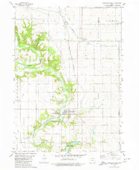
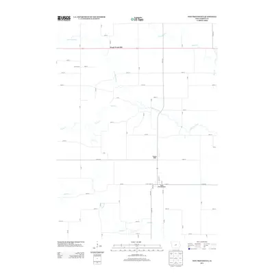
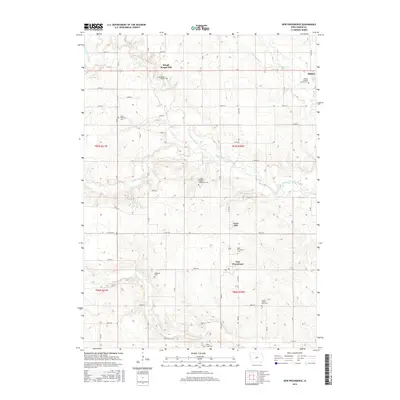
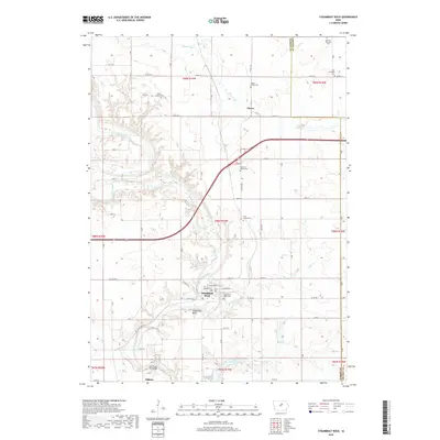
 1979 Eldora1980 Print · USGSHardin County's river valley comes into sharp focus in the late 1970s, centered on the county seat and its surrounding townships. Researchers can trace rural lineages through family-named landmarks like Sheppard Cem and explore the site of the State Training School for Boys.
 - 1985 Map of Ames
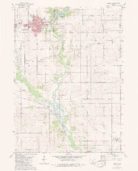
 1985 Ames1985 Print · USGSCentral Iowa's prairie landscape in the mid-eighties shows a well-established network of rail towns and conservation areas. Genealogists and historians can trace the paths of the Lincoln Highway and the Chicago and North Western line connecting Ames, Boone, and Webster City.
 - 1993 Map of Ames
 1993 Ames1993 Print · USGSCentral Iowa in the early nineties shows a landscape of river-fed parklands and growing academic centers. Genealogists and researchers can trace local church sites like Sts Peter and Paul Ch or navigate the corridors of the Chicago and North Western through towns like Hubbard and Stanhope.
 - 2010 Map of Steamboat Rock, 2010 Print
 2010 Steamboat Rock2010 Print · USGSCovers Eldora, including Steamboat Rock, Abbott, and other nearby areas
 - 2010 Map of Eldora, 2010 Print
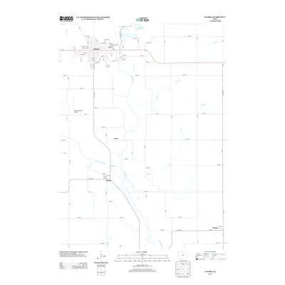
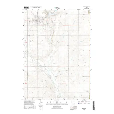
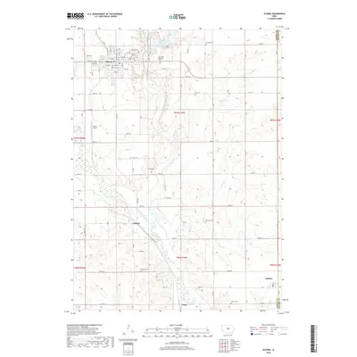
 2010 Eldora2010 Print · USGSCovers Eldora, including Whitten, Gifford, and other nearby areas
 - 2010 Map of New Providence, 2010 Print
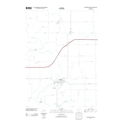
 2010 New Providence2010 Print · USGSCovers Eldora, including New Providence, Rough Woods Hill, and other nearby areas
 - 2013 Map of New Providence, 2013 Print
 2013 New Providence2013 Print · USGSCovers Eldora, including New Providence, Rough Woods Hill, and other nearby areas
 - 2013 Map of Eldora, 2013 Print
 2013 Eldora2013 Print · USGSCovers Eldora, including Whitten, Gifford, and other nearby areas
 - 2013 Map of Steamboat Rock, 2013 Print
 2013 Steamboat Rock2013 Print · USGSCovers Eldora, including Steamboat Rock, Abbott, and other nearby areas
 - 2015 Map of New Providence, 2015 Print
 2015 New Providence2015 Print · USGSCovers Eldora, including New Providence, Rough Woods Hill, and other nearby areas
 - 2015 Map of Steamboat Rock, 2015 Print
 2015 Steamboat Rock2015 Print · USGSCovers Eldora, including Steamboat Rock, Abbott, and other nearby areas
 - 2015 Map of Eldora, 2015 Print
 2015 Eldora2015 Print · USGSCovers Eldora, including Whitten, Gifford, and other nearby areas
 - 2018 Map of New Providence, 2018 Print
 2018 New Providence2018 Print · USGSCovers Eldora, including New Providence, Rough Woods Hill, and other nearby areas
 - 2018 Map of Steamboat Rock, 2018 Print
 2018 Steamboat Rock2018 Print · USGSCovers Eldora, including Steamboat Rock, Abbott, and other nearby areas
 - 2018 Map of Eldora, 2018 Print
 2018 Eldora2018 Print · USGSCovers Eldora, including Whitten, Gifford, and other nearby areas
 - 2022 Map of Eldora, 2022 Print
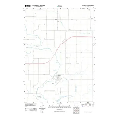
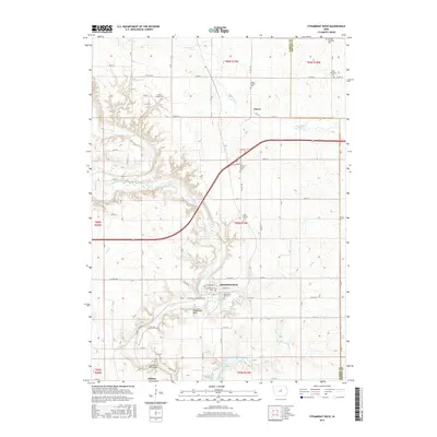
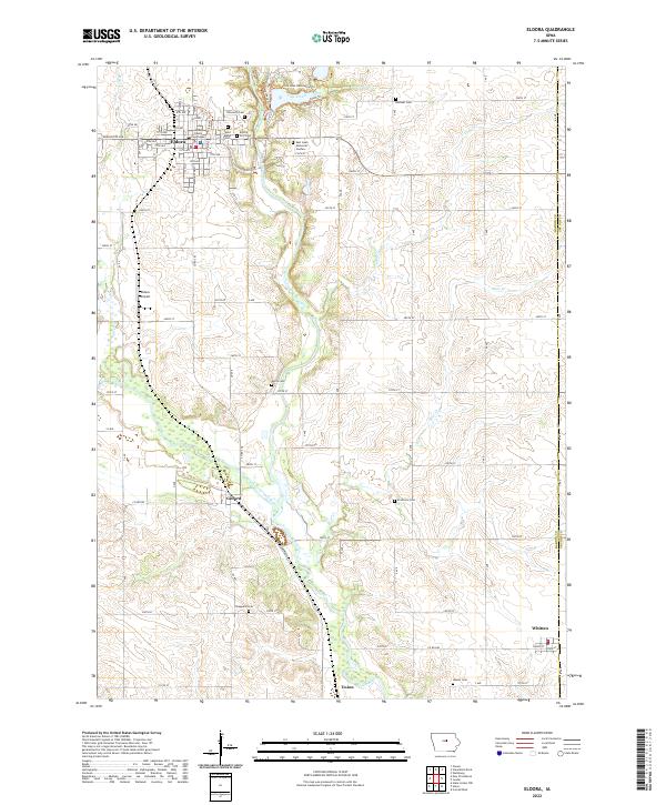 2022 Eldora2022 Print · USGSHardin County in the early 2020s shows the enduring layout of the Iowa River valley and its rural townships. Genealogists can trace family heritage through sites like the Hardin County Courthouse, Eldora City Cem, and the outlying Xenia Cem.
 - 2022 Map of Steamboat Rock, 2022 Print
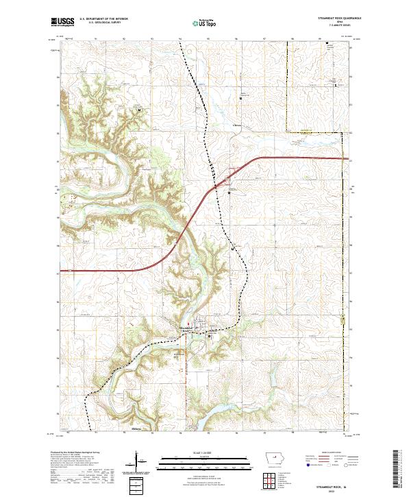 2022 Steamboat Rock2022 Print · USGSSteamboat Rock and the Iowa River valley are shown here in the early 2020s amidst the fertile borderlands of Hardin and Grundy counties. Genealogists can pinpoint numerous local burial sites, including the East Friesland Cem and the small Egbers Family Plot.
 - 2022 Map of New Providence, 2022 Print
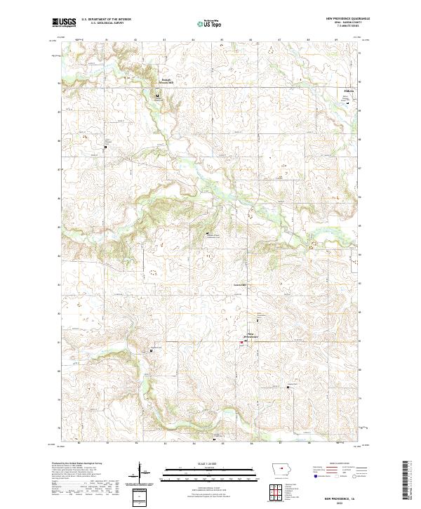 2022 New Providence2022 Print · USGSModern Hardin County settlement patterns and rural burial sites appear in detail across this recent survey. Genealogists can locate family plots at Hadley Cem, Point Pleasant Cem, and several other small cemeteries near New Providence.
End of results
Showing maps 1-22 of 22
Top cities near Eldora
- Iowa Falls historical maps
- Ackley historical maps
- Aplington historical maps
- Conrad historical maps
- Hubbard historical maps
- Wellsburg historical maps
See more
Frequently asked questions
- What are the different types of historical maps available for Eldora?
- What is the oldest map of Eldora?
- Where can I purchase historical maps of Eldora for my home or office?
- Where can I download high-res historical maps of Eldora?
- Are there historical topographic maps available for Eldora?
- Is there historical aerial imagery available for Eldora?
- Where are historical maps of Eldora sourced from?