2000s (21st Century) Maps of Eldora, Iowa
Explore 15 historic maps of Eldora from the 2000s (21st Century). These maps offer a rare glimpse into what life looked like during the 2000s — showing old roads, neighborhoods, homes, and landmarks that have changed or disappeared over time.
Whether you're researching your family's past, planning a metal detecting trip, or studying how Eldora's landscape evolved across the 2000s, these high-resolution maps are a powerful tool for exploring the history of this region.
- Focus on a specific era: All maps on this page are from the 2000s, giving you a focused view of this time period.
- See what’s changed: Compare century-old streets, trails, and buildings to today's modern landscape using overlays and satellite layers.
- Research with precision: Use these maps for genealogy, historical research, land use analysis, or educational projects.
- View, download, or print: Maps are fully viewable online in high resolution, and can be downloaded or printed for your own records.
Start exploring Eldora's history through authentic maps from the 2000s. This is your window into the past.
Eldora, IA maps
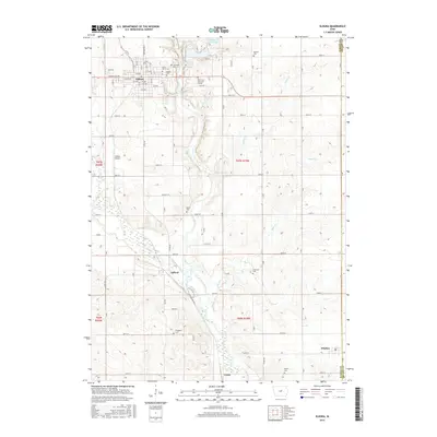
(15)- 2010 Map of Steamboat Rock, 2010 Print
 2010 Steamboat Rock2010 Print · USGSCovers Eldora, including Steamboat Rock, Abbott, and other nearby areas
 - 2010 Map of Eldora, 2010 Print
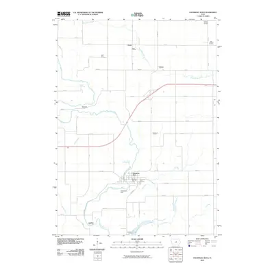
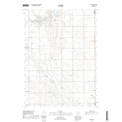
 2010 Eldora2010 Print · USGSCovers Eldora, including Whitten, Gifford, and other nearby areas
 - 2010 Map of New Providence, 2010 Print
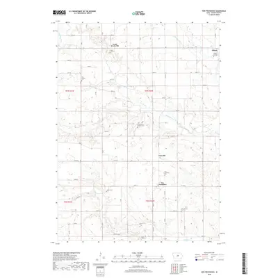
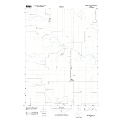 2010 New Providence2010 Print · USGSCovers Eldora, including New Providence, Rough Woods Hill, and other nearby areas
 - 2013 Map of New Providence, 2013 Print
 2013 New Providence2013 Print · USGSCovers Eldora, including New Providence, Rough Woods Hill, and other nearby areas
 - 2013 Map of Eldora, 2013 Print
 2013 Eldora2013 Print · USGSCovers Eldora, including Whitten, Gifford, and other nearby areas
 - 2013 Map of Steamboat Rock, 2013 Print
 2013 Steamboat Rock2013 Print · USGSCovers Eldora, including Steamboat Rock, Abbott, and other nearby areas
 - 2015 Map of New Providence, 2015 Print
 2015 New Providence2015 Print · USGSCovers Eldora, including New Providence, Rough Woods Hill, and other nearby areas
 - 2015 Map of Steamboat Rock, 2015 Print
 2015 Steamboat Rock2015 Print · USGSCovers Eldora, including Steamboat Rock, Abbott, and other nearby areas
 - 2015 Map of Eldora, 2015 Print
 2015 Eldora2015 Print · USGSCovers Eldora, including Whitten, Gifford, and other nearby areas
 - 2018 Map of New Providence, 2018 Print
 2018 New Providence2018 Print · USGSCovers Eldora, including New Providence, Rough Woods Hill, and other nearby areas
 - 2018 Map of Steamboat Rock, 2018 Print
 2018 Steamboat Rock2018 Print · USGSCovers Eldora, including Steamboat Rock, Abbott, and other nearby areas
 - 2018 Map of Eldora, 2018 Print
 2018 Eldora2018 Print · USGSCovers Eldora, including Whitten, Gifford, and other nearby areas
 - 2022 Map of Eldora, 2022 Print
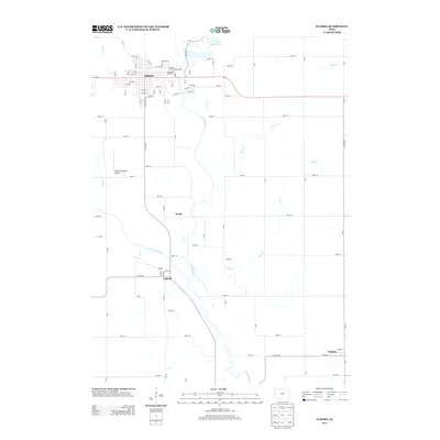
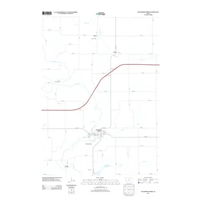
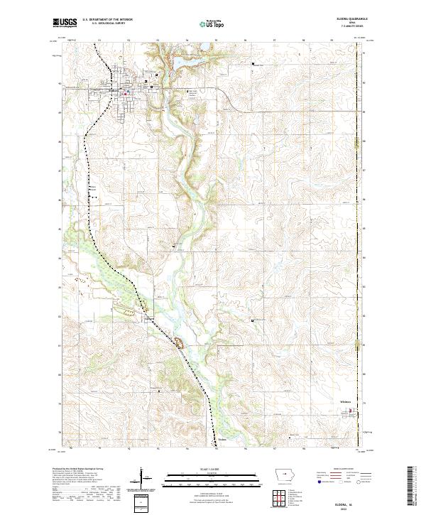 2022 Eldora2022 Print · USGSHardin County in the early 2020s shows the enduring layout of the Iowa River valley and its rural townships. Genealogists can trace family heritage through sites like the Hardin County Courthouse, Eldora City Cem, and the outlying Xenia Cem.
 - 2022 Map of Steamboat Rock, 2022 Print
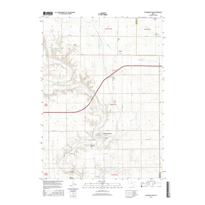
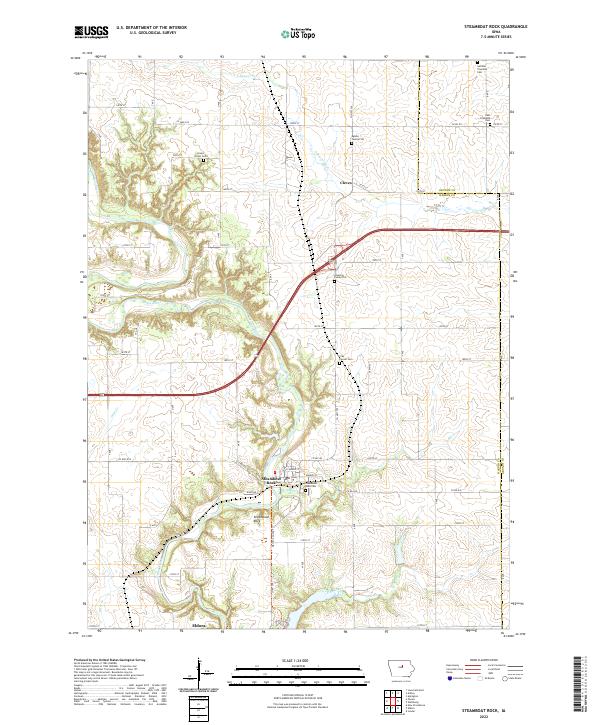 2022 Steamboat Rock2022 Print · USGSSteamboat Rock and the Iowa River valley are shown here in the early 2020s amidst the fertile borderlands of Hardin and Grundy counties. Genealogists can pinpoint numerous local burial sites, including the East Friesland Cem and the small Egbers Family Plot.
 - 2022 Map of New Providence, 2022 Print
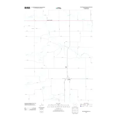
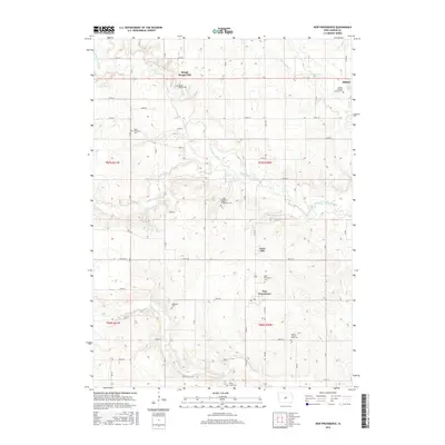
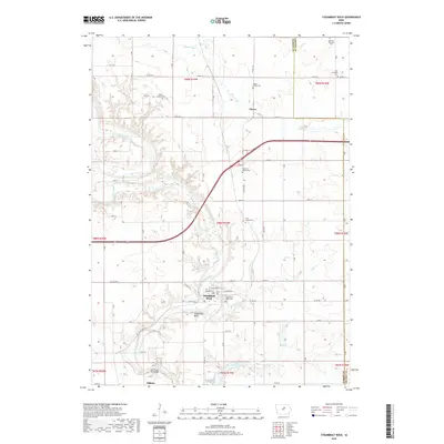
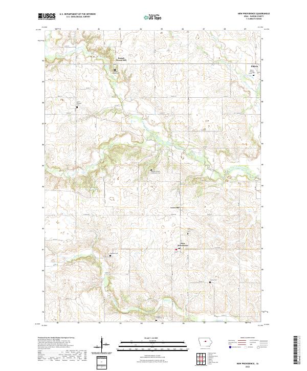 2022 New Providence2022 Print · USGSModern Hardin County settlement patterns and rural burial sites appear in detail across this recent survey. Genealogists can locate family plots at Hadley Cem, Point Pleasant Cem, and several other small cemeteries near New Providence.
End of results
Showing maps 1-15 of 15
Top cities near Eldora
- Iowa Falls historical maps
- Ackley historical maps
- Aplington historical maps
- Conrad historical maps
- Hubbard historical maps
- Wellsburg historical maps
See more
Frequently asked questions
- What are the different types of historical maps available for Eldora?
- What is the oldest map of Eldora?
- Where can I purchase historical maps of Eldora for my home or office?
- Where can I download high-res historical maps of Eldora?
- Are there historical topographic maps available for Eldora?
- Is there historical aerial imagery available for Eldora?
- Where are historical maps of Eldora sourced from?