Old Maps of Belmont Township, Iowa for Hiking & Exploration
Hike through history with 31 historic maps of Belmont Township. Explore old trails, ghost towns, and forgotten backroads — perfect for outdoor adventurers and local explorers.
- Rediscover forgotten places: Map out old mining camps, roads, and footpaths that no longer exist on modern maps.
- Layer with modern tools: Combine with LiDAR or satellite views to plan hikes through historical terrain.
- Made for exploration: Popular among hikers, overlanders, and local history lovers.
Use these maps to find adventure and explore the hidden past of Belmont Township.
Belmont Township, IA maps
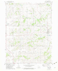
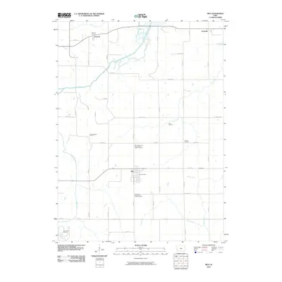
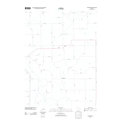
(31)- 1910 Map of Milo
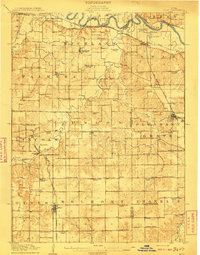 1910 Milo1910 Print · USGSWarren and Marion counties are captured here at the height of their early 20th-century rural development, before the modernization of the road network. Genealogists can trace family footprints through numerous country schools like Prairie Creek School and the river-crossing at Hammondsburg Bridge.2 unique versions available
 - 1918 Map of Chariton
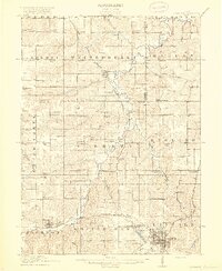 1918 Chariton1918 Print · USGSChariton and its neighboring townships thrive as a rail-connected agricultural hub during the late First World War era. Trace family roots at Chariton or locate rural landmarks like Indianola Junction and the Horstman School.4 unique versions available
 - 1954 Map of Des Moines, 1973 Print
 1954 Des Moines1973 Print · USGSCentral Iowa's evolving landscape is captured here in the early seventies, just as major reservoirs were reshaping the river valleys. Genealogists and historians can trace the rail corridors of the Burlington Northern or locate family roots near Pella, Indianola, and Knoxville.2 unique versions available
 - 1956 Map of Des Moines
 1956 Des Moines1956 Print · USGSCentral Iowa in the mid-fifties shows a landscape defined by bustling rail hubs and deep-rooted agricultural research. Genealogists and researchers can trace the growth of Des Moines and Ames, locate the Sac and Fox Indian Reservation, or study the paths of the Skunk River and South Skunk River.
 - 1957 Map of Des Moines
 1957 Des Moines1957 Print · USGSCentral Iowa's post-war landscape is defined here by the converging rail lines and river valleys that shaped its earliest settlements. Genealogists and historians can trace the paths of the Rock Island Railroad and locate community landmarks in Des Moines, Ames, and Newton.
 - 1965 Map of Milo, 1966 Print
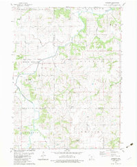
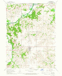 1965 Milo1966 Print · USGSWarren County’s rural townships come to life in the mid-1960s, showing the agricultural patterns and small-town centers of south-central Iowa. You can trace early settlement history through the Old Railroad Grade and several local burial grounds like Hammondsburg Cem and the IOOF Cem.
 - 1965 Map of Beech, 1966 Print
 1965 Beech1966 Print · USGSMarion County farming communities and rail lines are documented here in the mid-1960s, just as regional water management began altering the landscape. Genealogists can locate family landmarks like Highland Cem, Motor Ch, and the rural settlements of Beech and Caloma.
 - 1969 Map of Des Moines
 1969 Des Moines1969 Print · USGSCentral Iowa's fertile plains and growing capital are captured here during the late sixties, a time of major highway expansion and reservoir construction. Genealogists and researchers can trace rural township boundaries, local cemeteries, and rail lines serving towns like Pella, Grinnell, and Oskaloosa.
 - 1982 Map of Lacona, 1983 Print
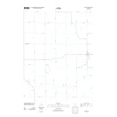
 1982 Lacona1983 Print · USGSSouthern Iowa's rural landscape is captured here in the early eighties, centered on the community of Lacona. Family historians can locate numerous local burial sites including Graceland Cem and Fletcher Cem, alongside landmarks like Green Plain Ch.
 - 1982 Map of Newbern, 1983 Print
 1982 Newbern1983 Print · USGSThe crossroads of Marion and Warren counties are captured here in the early eighties, showcasing a landscape of established family farms. Genealogists can trace local roots through numerous sites like St Paul Cem, Newbern Cem, and the community of Bauer.
 - 1984 Map of Indianola
 1984 Indianola1984 Print · USGSSouth-central Iowa in the mid-1980s reveals a patchwork of established rail hubs and significant new conservation areas. Trace the Chicago and North Western rail lines and explore rural landmarks like Lake Ahquabi State Park or the Strip Mine near Knoxville.
 - 2010 Map of Beech, 2010 Print
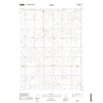
 2010 Beech2010 Print · USGSCovers Belmont Township, including Pleasantville, Franklin Township, and other nearby areas
 - 2010 Map of Lacona, 2010 Print
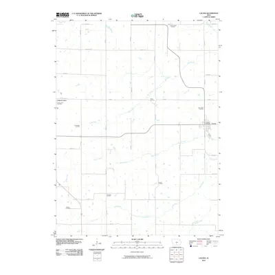 2010 Lacona2010 Print · USGSCovers Belmont Township, including Lacona, Liberty Township, and other nearby areas
 - 2010 Map of Milo, 2010 Print
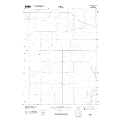
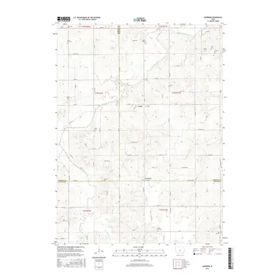
 2010 Milo2010 Print · USGSCovers Belmont Township, including Milo, Ackworth, and other nearby areas
 - 2010 Map of Newbern, 2010 Print
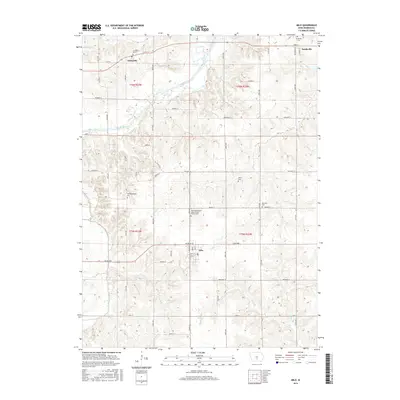
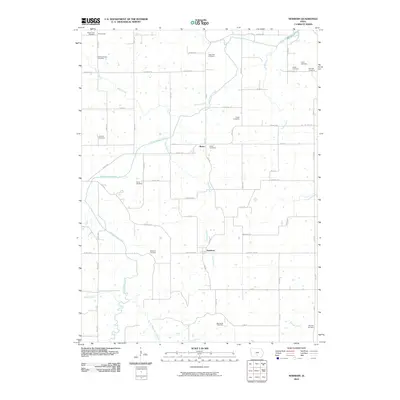 2010 Newbern2010 Print · USGSCovers Belmont Township, including Melcher-Dallas, White Breast Township, and other nearby areas
 - 2013 Map of Milo, 2013 Print
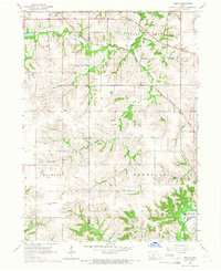
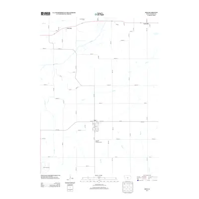 2013 Milo2013 Print · USGSCovers Belmont Township, including Milo, Ackworth, and other nearby areas
 - 2013 Map of Beech, 2013 Print
 2013 Beech2013 Print · USGSCovers Belmont Township, including Pleasantville, Franklin Township, and other nearby areas
 - 2013 Map of Newbern, 2013 Print
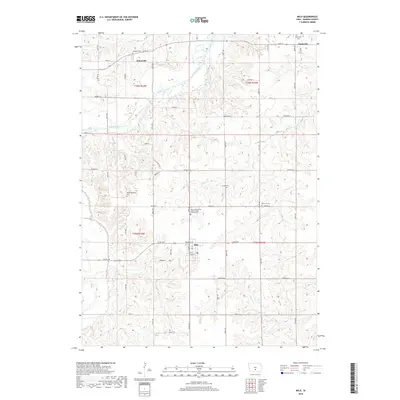
 2013 Newbern2013 Print · USGSCovers Belmont Township, including Melcher-Dallas, White Breast Township, and other nearby areas
 - 2013 Map of Lacona, 2013 Print
 2013 Lacona2013 Print · USGSCovers Belmont Township, including Lacona, Liberty Township, and other nearby areas
 - 2015 Map of Beech, 2015 Print
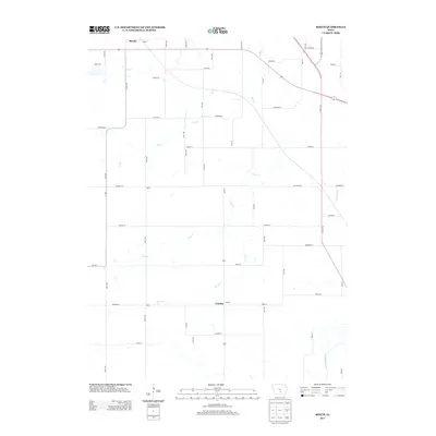
 2015 Beech2015 Print · USGSCovers Belmont Township, including Pleasantville, Franklin Township, and other nearby areas
 - 2015 Map of Lacona, 2015 Print
 2015 Lacona2015 Print · USGSCovers Belmont Township, including Lacona, Liberty Township, and other nearby areas
 - 2015 Map of Newbern, 2015 Print
 2015 Newbern2015 Print · USGSCovers Belmont Township, including Melcher-Dallas, White Breast Township, and other nearby areas
 - 2015 Map of Milo, 2015 Print
 2015 Milo2015 Print · USGSCovers Belmont Township, including Milo, Ackworth, and other nearby areas
 - 2018 Map of Milo, 2018 Print
 2018 Milo2018 Print · USGSCovers Belmont Township, including Milo, Ackworth, and other nearby areas
 - 2018 Map of Newbern, 2018 Print
 2018 Newbern2018 Print · USGSCovers Belmont Township, including Melcher-Dallas, White Breast Township, and other nearby areas
Showing maps 1-25 of 31
Top cities near Belmont Township
- Des Moines historical maps
- Indianola historical maps
- Carlisle historical maps
- Pleasantville historical maps
- Melcher-Dallas historical maps
- Milo historical maps
See more
Frequently asked questions
- What are the different types of historical maps available for Belmont Township?
- What is the oldest map of Belmont Township?
- Where can I purchase historical maps of Belmont Township for my home or office?
- Where can I download high-res historical maps of Belmont Township?
- Are there historical topographic maps available for Belmont Township?
- Is there historical aerial imagery available for Belmont Township?
- Where are historical maps of Belmont Township sourced from?