Old Maps of Concordia, Kansas
Explore 17 old maps of Concordia, spanning from 1892 to today. These high-resolution historic maps reveal how streets, neighborhoods, landmarks, and natural features evolved over time — perfect for genealogy, metal detecting, research, and local history exploration.
What you can do with these maps:
- See how Concordia changed over time: Compare historical maps to modern-day views to trace roads, homesites, rail lines & more.
- View detailed metadata: Each map includes creators, publishers, year, scale, and archive source.
- Overlay maps with satellite & LiDAR: Visualize the past alongside modern tools to explore terrain & human change.
- Trusted historical sources: Maps sourced from the USGS, Library of Congress, and other archives.
- Access maps your way: View online, download high-res files, or order prints for personal or research use.
Start exploring old maps of Concordia to uncover forgotten places, hidden landmarks, and the deep history beneath your feet.
Concordia, KS maps
(17)- 1892 Map of Concordia
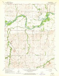
 1892 Concordia1892 Print · USGSNorth-central Kansas thrives as a railroad and river corridor in the early 1890s, where the Republican River meets a dense web of competing iron rails. Genealogists and researchers can pinpoint early homesteads near Concordia, Belleville, and vanished rural stops like Seapo or Lake Sibley.4 unique versions available
 - 1955 Map of Manhattan, 1964 Print
 1955 Manhattan1964 Print · USGSNorth Central Kansas is captured here in the mid-fifties, just as major flood control projects began reshaping the river valleys. Genealogists can locate family sites near St. Joseph Church, Sunset Cemetery, or along the busy tracks of the Rock Island RR.4 unique versions available
 - 1956 Map of Manhattan
 1956 Manhattan1956 Print · USGSNorth-central Kansas in the mid-fifties reveals a landscape defined by the convergence of the Republican River and Smoky Hill River. Historians can trace the rail corridors of the Union Pacific RR and Missouri Pacific RR through towns like Manhattan and Clay Center.
 - 1957 Map of Manhattan
 1957 Manhattan1957 Print · USGSNortheast Kansas in the mid-1950s reveals a landscape of expanding military installations and new water projects. Genealogists and historians can trace the rail-to-river economy through the Union Pacific RR and old settlements like Clay Center or Marysville.
 - 1965 Map of Rice, 1966 Print
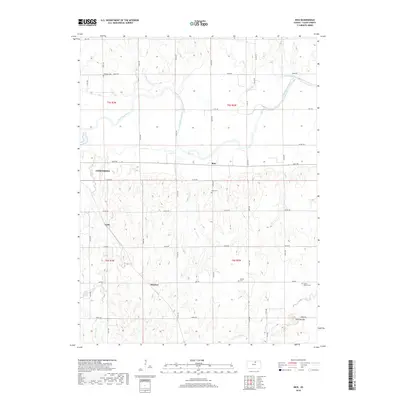
 1965 Rice1966 Print · USGSCloud County's river valleys and rail corridors are captured here in the mid-sixties, showing a landscape defined by the Republican River. Genealogists can locate family plots at Gottland Cemetery or Rice Cemetery and trace the paths of the Missouri Pacific through the settlement of Rice.
 - 1965 Map of Concordia, 1966 Print
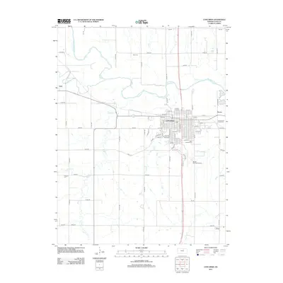
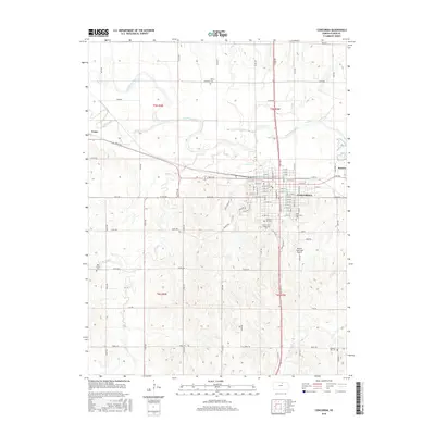
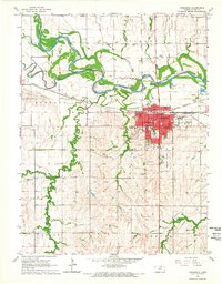 1965 Concordia1966 Print · USGSConcordia and the surrounding Cloud County prairies are captured in the mid-1960s as a bustling rail and agricultural center. Researchers can trace the junction of three major railroads or locate specific local landmarks like Nazareth Convent, Sibley Cem, and Blosser Airport.2 unique versions available
 - 1985 Map of Concordia
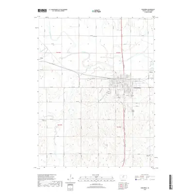
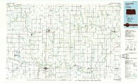 1985 Concordia1985 Print · USGSNorth Central Kansas in the mid-eighties shows a robust agricultural and rail corridor centered on the Republican River. Genealogists and historians can trace rail lines and community centers like the St Joseph Ch, Belleville Cem, and Cloud County Comm College.2 unique versions available
 - 2009 Map of Rice, 2009 Print
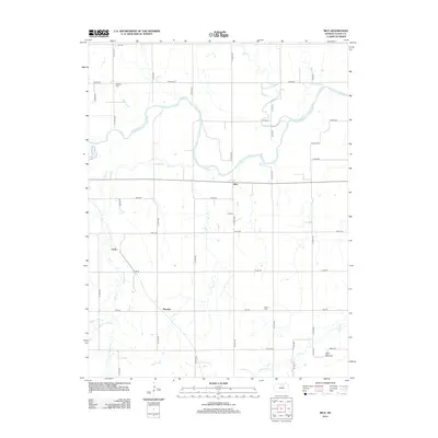
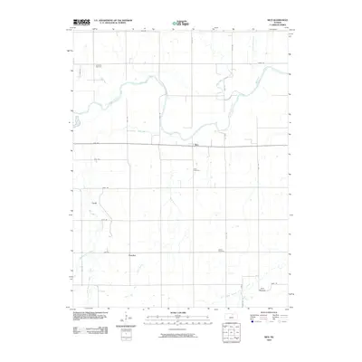 2009 Rice2009 Print · USGSCovers Concordia, including Huscher, Rice, and other nearby areas
 - 2009 Map of Concordia, 2009 Print
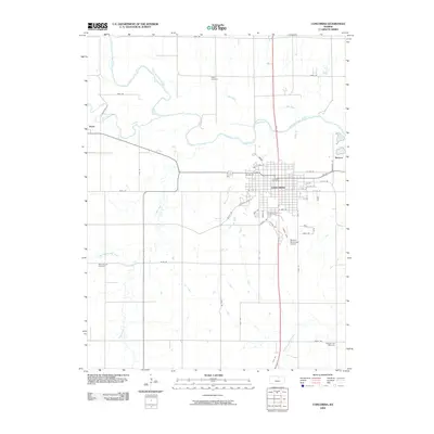 2009 Concordia2009 Print · USGSCovers Concordia, including Rosaco, Yuma, and other nearby areas
 - 2012 Map of Rice, 2012 Print
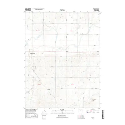
 2012 Rice2012 Print · USGSCovers Concordia, including Huscher, Rice, and other nearby areas
 - 2012 Map of Concordia, 2012 Print
 2012 Concordia2012 Print · USGSCovers Concordia, including Rosaco, Yuma, and other nearby areas
 - 2015 Map of Rice, 2015 Print
 2015 Rice2015 Print · USGSCovers Concordia, including Huscher, Rice, and other nearby areas
 - 2016 Map of Concordia, 2016 Print
 2016 Concordia2016 Print · USGSCovers Concordia, including Rosaco, Yuma, and other nearby areas
 - 2018 Map of Concordia, 2018 Print
 2018 Concordia2018 Print · USGSCovers Concordia, including Rosaco, Yuma, and other nearby areas
 - 2018 Map of Rice, 2018 Print
 2018 Rice2018 Print · USGSCovers Concordia, including Huscher, Rice, and other nearby areas
 - 2022 Map of Concordia, 2022 Print
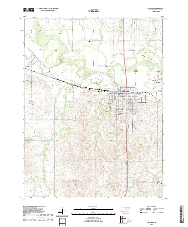 2022 Concordia2022 Print · USGSConcordia and the surrounding Cloud County prairies are captured here in the early twenty-first century as the Republican River valley continues its agricultural traditions. Researchers can trace family history through several local landmarks, including Sibley Cem, the Nazareth Convent, and the Cloud County Courthouse.
 - 2022 Map of Rice, 2022 Print
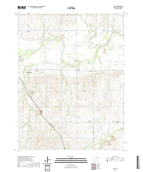 2022 Rice2022 Print · USGSCloud County's rural landscape is captured here in the early twenty-first century, showing the enduring settlement patterns of the Kansas prairie. Researchers can locate family landmarks like Gottland Cem, Nelson Cem, and the small community of Huscher.
End of results
Showing maps 1-17 of 17
Top cities near Concordia
- Clyde historical maps
- Glasco historical maps
- Miltonvale historical maps
- Jamestown historical maps
- Norway historical maps
- Aurora historical maps
See more
Frequently asked questions
- What are the different types of historical maps available for Concordia?
- What is the oldest map of Concordia?
- Where can I purchase historical maps of Concordia for my home or office?
- Where can I download high-res historical maps of Concordia?
- Are there historical topographic maps available for Concordia?
- Is there historical aerial imagery available for Concordia?
- Where are historical maps of Concordia sourced from?