
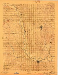
1892 Map of Concordia
USGS Topo · Published 1892About this map
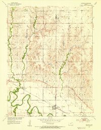
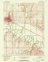
The Republican River meanders through this late nineteenth-century prairie landscape, anchoring a network of emerging agricultural centers across Republic and Cloud counties. This survey, conducted under the direction of J.W. Powell, illustrates the rapid expansion of the steam era as multiple major lines intersect the terrain. The Missouri Pacific Railway and Chicago Union Pacific Railway converge at Concordia, while the Chicago Rock Island and Pacific Railway cuts through Scandia and Courtland.
Find a feature on this map
72 named features on this map. Tap any name to fly to it.
Don’t see what you’re looking for? This feature index may not catch every label — zoom into the map to look around manually.
Map Details
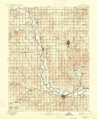
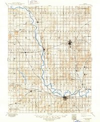
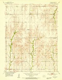
Editions of this 1892 Concordia Map
4 editions found
Other maps of this area

1891 · Clay Center
USGS Topo · 1:125,000

1892 · Minneapolis
USGS Topo · 1:125,000

1893 · Washington
USGS Topo · 1:125,000

1894 · Mankato
USGS Topo · 1:125,000

1894 · Beloit
USGS Topo · 1:125,000

1898 · Superior
USGS Topo · 1:125,000

1898 · Hebron
USGS Topo · 1:125,000
1953 · Glasco NE
USGS Topo · 1:24,000
1953 · Simpson
USGS Topo · 1:24,000
1953 · Beloit
USGS Topo · 1:24,000