
1891 Map of Clay Center
USGS Topo · Published 1891About this map
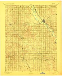
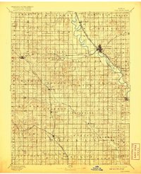
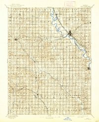
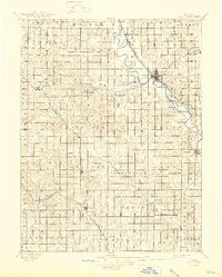
Republican River winds through the heart of this landscape, serving as the central artery for a region undergoing rapid rail development in the early 1890s. The bustling junction at Clay Center stands as the primary hub, where the Chicago Rock Island and Pacific Railway and the Union Pacific Railway converge. This period captures the height of the steam era, with small agricultural communities like Morganville, Idana, and Wakefield established along the tracks. To the southwest, the Atchison Topeka and Santa Fe Railroad cuts through the plains, connecting more remote settlements such as Oak Hill and Manchester. The terrain is further defined by its drainage basins, including Chapman Creek and Millers Creek, which supported early rural milling sites like Sutphen Mills. This survey provides a precise view of the sectional grid and early township boundaries before modern road networks replaced the original wagon trails and rail-oriented settlement patterns.
Find a feature on this map
56 named features on this map. Tap any name to fly to it.
Don’t see what you’re looking for? This feature index may not catch every label — zoom into the map to look around manually.
Map Details
Editions of this 1891 Clay Center Map
5 editions found
Other maps of this area

1886 · Junction City
USGS Topo · 1:125,000

1889 · Marysville
USGS Topo · 1:125,000

1889 · Junction City
USGS Topo · 1:125,000

1889 · Abilene
USGS Topo · 1:125,000

1889 · Parkerville
USGS Topo · 1:125,000

1892 · Concordia
USGS Topo · 1:125,000

1892 · Salina
USGS Topo · 1:125,000

1892 · Minneapolis
USGS Topo · 1:125,000

1893 · Washington
USGS Topo · 1:125,000

1894 · Junction City
USGS Topo · 1:125,000