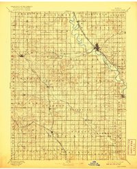
1891 Map of Clay Center
USGS Topo · Published 1920About this map
The Republican River winds southeastward through North Central Kansas, serving as the primary geographic axis for the settlements of Clay Center, Morganville, and Wakefield. Surveyed in 1890, this landscape is defined by the convergence of major rail lines, including the Chicago Rock Island and Pacific Railway and the Union Pacific Railway, which facilitated the growth of shipping points across several named townships. Away from the river valley, the terrain transitions into a grid of rural communities such as Miltonvale, Oak Hill, and Longford. Smaller watercourses like Chapman Creek and Miller Creek drain the surrounding agricultural lands. The presence of Sutphen Mills and Industry reflects the early processing and trade centers established during this era of peak prairie development, while the well-defined township boundaries like Starr and Blaine provide a clear view of late 19th-century land organization.
Find a feature on this map
52 named features on this map. Tap any name to fly to it.
Don’t see what you’re looking for? This feature index may not catch every label — zoom into the map to look around manually.
Map Details
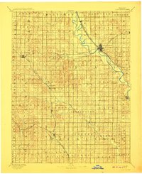
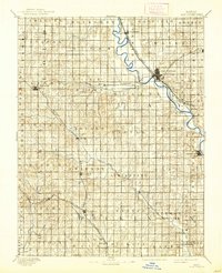
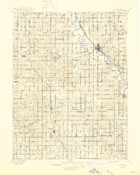
Editions of this 1891 Clay Center Map
5 editions found
Other maps of this area

1886 · Junction City
USGS Topo · 1:125,000

1889 · Marysville
USGS Topo · 1:125,000

1889 · Junction City
USGS Topo · 1:125,000

1889 · Abilene
USGS Topo · 1:125,000

1889 · Parkerville
USGS Topo · 1:125,000

1891 · Clay Center
USGS Topo · 1:125,000

1892 · Concordia
USGS Topo · 1:125,000

1892 · Salina
USGS Topo · 1:125,000

1892 · Minneapolis
USGS Topo · 1:125,000

1893 · Washington
USGS Topo · 1:125,000