
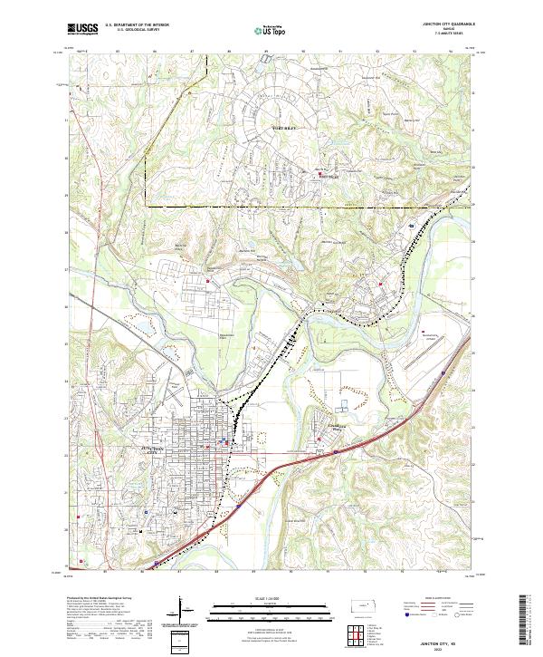
1886 Map of Junction City
USGS Topo · Published 1960About this map
The Fort Riley Military Reservation dominates the landscape at the confluence of the Republican River and Smoky Hill River, where they join to form the Kansas River. This 1886 survey shows a region defined by its vital rail connections, including the Union Pacific Railroad following the river valleys and the Kansas Central Railroad traversing the northern townships. The settlement of Junction City is established at the southern rail junction, while Manhattan sits further east along the banks of the Blue River. Small communities such as Bala, Milford, and Riley Center are scattered across the surrounding hills, serving as rural hubs before the widespread development of the 20th century. Numerous named tributaries, including Wild Cat Creek and Seven Mile Creek, reveal the drainage patterns that shaped early township boundaries and settlement sites.
Find a feature on this map
60 named features on this map. Tap any name to fly to it.
Don’t see what you’re looking for? This feature index may not catch every label — zoom into the map to look around manually.
Map Details
Editions of this 1886 Junction City Map
This is the sole edition of this map. No revisions or reprints were ever made.
Historical Maps of Manhattan Through Time
11 maps found
1886 Junction City
Geary County, KS

1889 Junction City
Geary County, KS
1894 Junction City
Geary County, KS
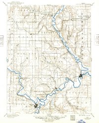
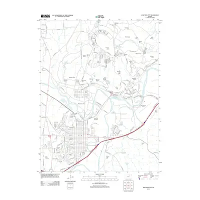
1950 Junction City
Geary County, KS
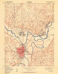
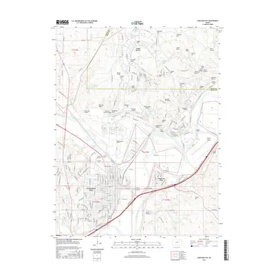
1955 Junction City
Geary County, KS
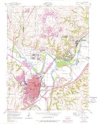
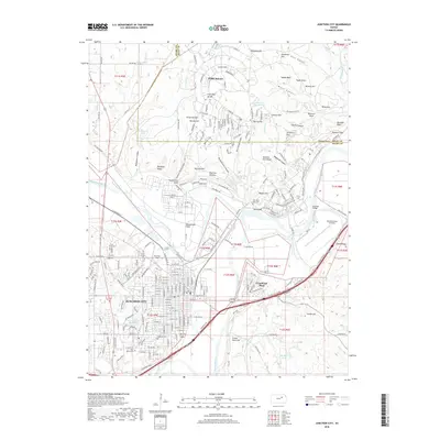
1982 Junction City
Geary County, KS

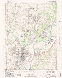
2009 Junction City
Geary County, KS
2012 Junction City
Geary County, KS
2016 Junction City
Geary County, KS
2018 Junction City
Geary County, KS
2022 Junction City
Geary County, KS