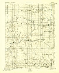
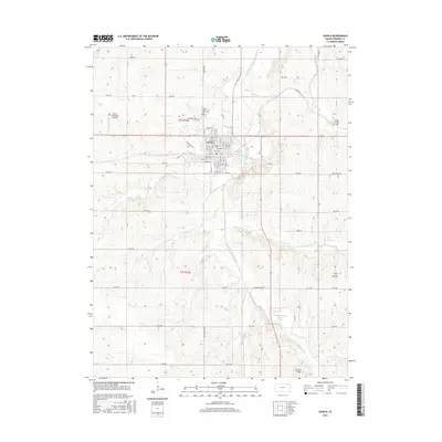
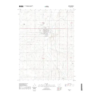
1889 Map of Seneca
USGS Topo · Published 1889About this map
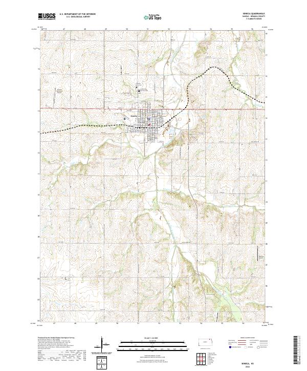
Seneca serves as a major hub on this 1880s survey, where the St Joseph and Western Railroad traverses the northern plains of Nemaha County. The landscape is defined by its sophisticated early rail network, with the Missouri Pacific Railroad cutting through the center to reach Centralia and the Kansas Central Railroad skirting the southern boundary near Blaine and Wheaton. These steel corridors connected remote agricultural settlements like Axtell, Baileyville, and Corning to wider markets during a period of rapid frontier development.
Find a feature on this map
64 named features on this map. Tap any name to fly to it.
Don’t see what you’re looking for? This feature index may not catch every label — zoom into the map to look around manually.
Map Details
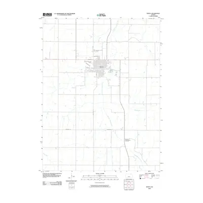
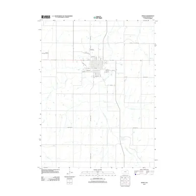
Editions of this 1889 Seneca Map
This is the sole edition of this map. No revisions or reprints were ever made.
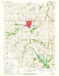
Historical Maps of Seneca Through Time
8 maps found