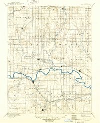
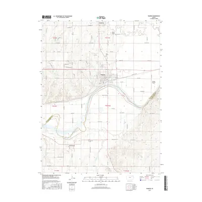
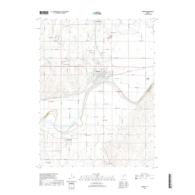
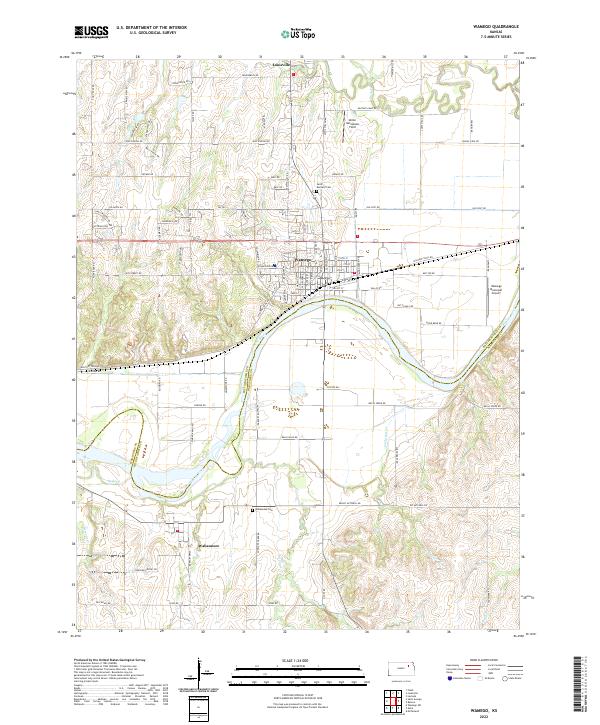
1889 Map of Wamego
USGS Topo · Published 1889About this map
The Kansas River winds through the heart of this late nineteenth-century landscape, serving as a corridor for settlement and early transportation networks. To the north, the Vermillion River feeds into the valley near Belvue, while to the south, the terrain rises toward landmarks like Buffalo Mound. This era was defined by the rapid expansion of rail, with three major lines competing for dominance: the Union Pacific Railroad following the river through Wamego, the Atchison Topeka and Santa Fe Railroad cutting through the southwest near Wabaunsee, and the Chicago Kansas and Nebraska Railroad passing through Alma.
Find a feature on this map
69 named features on this map. Tap any name to fly to it.
Don’t see what you’re looking for? This feature index may not catch every label — zoom into the map to look around manually.
Map Details
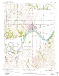
Editions of this 1889 Wamego Map
This is the sole edition of this map. No revisions or reprints were ever made.
Historical Maps of Manhattan Through Time
8 maps found