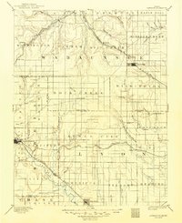
1885 Map of Eskridge
USGS Topo · Published 1885About this map
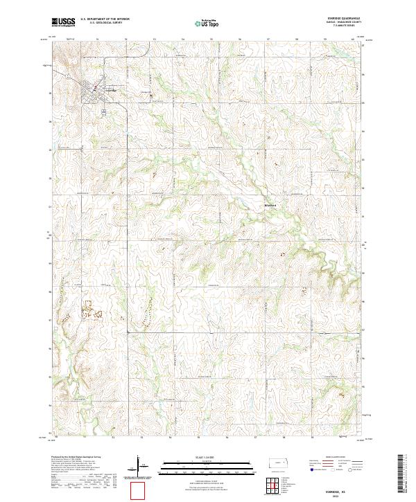
The Neosho River valley serves as a primary corridor for settlement and industry in this late nineteenth-century portrait of east-central Kansas. The area is defined by a dense emerging network of transportation, where the Missouri Pacific Railroad follows the river's path through Dunlap and the county seat at Council Grove. To the north, the Atchison Topeka and Santa Fe Railroad winds through the uplands, connecting Eskridge and the small station at Bismarck to the wider cattle and grain markets.
Find a feature on this map
68 named features on this map. Tap any name to fly to it.
Don’t see what you’re looking for? This feature index may not catch every label — zoom into the map to look around manually.
Map Details
Editions of this 1885 Eskridge Map
This is the sole edition of this map. No revisions or reprints were ever made.
Historical Maps of Council Grove Through Time
9 maps found