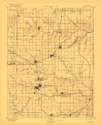
1889 Map of Burlingame
USGS Topo · Published 1889About this map
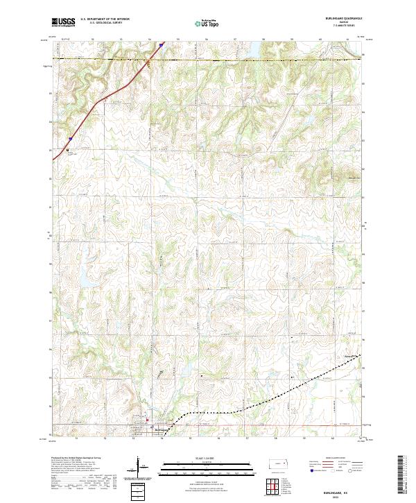
The railroad-driven expansion of Osage and Shawnee Counties is captured here in the late nineteenth century, a time when steam power dictated the growth of the Kansas prairie. The Atchison Topeka and Santa Fe Railroad serves as the primary corridor, linking important coal and trade hubs like Burlingame, Scranton, and Carbondale. Further south, the Council Grove Osage City and Ottawa Railroad intersects at Osage City, which appears as a significant developed grid alongside the industrial-minded Peterton and Craig City.
Find a feature on this map
73 named features on this map. Tap any name to fly to it.
Don’t see what you’re looking for? This feature index may not catch every label — zoom into the map to look around manually.
Map Details
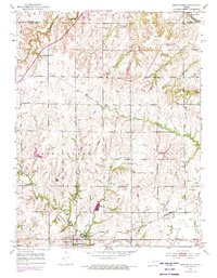
Editions of this 1889 Burlingame Map
This is the sole edition of this map. No revisions or reprints were ever made.
Historical Maps of Topeka Through Time
8 maps found