
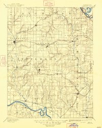
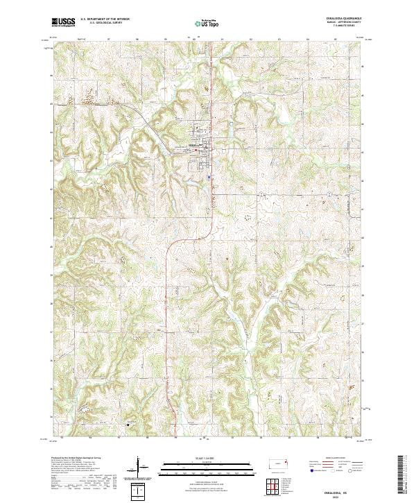
1888 Map of Oskaloosa
USGS Topo · Published 1888About this map
Oskaloosa serves as a central hub in this late nineteenth-century portrait of Northeast Kansas, where a dense network of watercourses like Stranger Creek and Grasshopper Creek define the agricultural landscape. The region's development is closely tied to the expansion of rail, with the Atchison Topeka and Santa Fe Railroad and the Union Pacific Railroad cutting across township lines to connect fledgling settlements. Along the southern border, the Kansas River flows past towns such as Perry, Medina, and Lecompton, while the Missouri River clips the northeastern corner near Oak Mills. The map captures the distinct township organization of the era, including Sarcoxie and Kapioma, providing a clear look at the early settlement patterns before the extensive modern infrastructure took hold. Unique landmarks like Jarbalo Mound and Bean Lake offer specific geographic touchstones for local historians.
Find a feature on this map
90 named features on this map. Tap any name to fly to it.
Don’t see what you’re looking for? This feature index may not catch every label — zoom into the map to look around manually.
Map Details
Editions of this 1888 Oskaloosa Map
This is the sole edition of this map. No revisions or reprints were ever made.
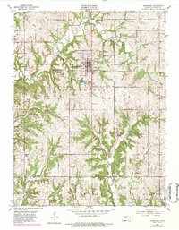
Historical Maps of Lawrence Through Time
9 maps found

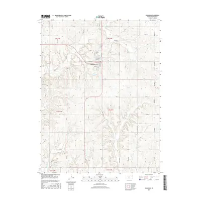
1886 Oskaloosa
Jefferson County, KS
1888 Oskaloosa
Jefferson County, KS
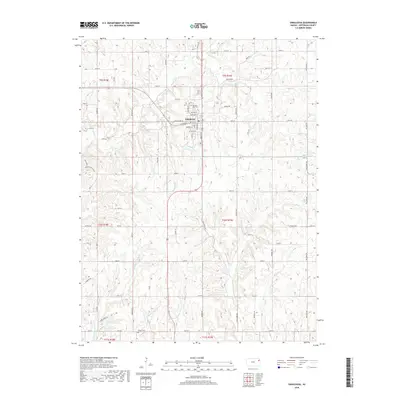
1894 Oskaloosa
Jefferson County, KS
1951 Oskaloosa
Jefferson County, KS
2009 Oskaloosa
Jefferson County, KS
2012 Oskaloosa
Jefferson County, KS
2015 Oskaloosa
Jefferson County, KS
2018 Oskaloosa
Jefferson County, KS
2022 Oskaloosa
Jefferson County, KS