
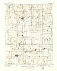
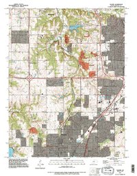
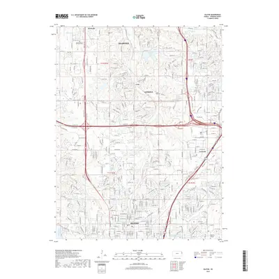
1887 Map of Olathe
USGS Topo · Published 1887About this map
Olathe and Paola serve as the primary hubs in this late-19th-century landscape, connected by an expanding network of railroads that defined the local economy. The Kansas City Gulf and Scott Railroad cuts a north-south line through the heart of the region, passing through Bonita, Ocheltree, and Spring Hill. This corridor provided vital transport for agriculture and industry long before modern highways. Along the northern edge, the Kansas River flows past Monticello, while the Atchison Topeka & Santa Fe Railroad skirts the riverbanks near Lexington. Small outposts like New Santa Fe and Hickmans Mills sit on the eastern fringes, highlighting the early transition of the borderlands between Kansas and Missouri. The terrain is defined by the drainage systems of Big Bull Creek and the Blue River, illustrating the natural topographic constraints that shaped early settlement patterns and township boundaries.
Find a feature on this map
91 named features on this map. Tap any name to fly to it.
Don’t see what you’re looking for? This feature index may not catch every label — zoom into the map to look around manually.
Map Details
Editions of this 1887 Olathe Map
This is the sole edition of this map. No revisions or reprints were ever made.
Historical Maps of Kansas City Through Time
12 maps found
1887 Olathe
Johnson County, KS
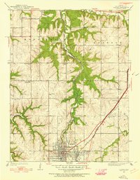
1893 Olathe
Johnson County, KS
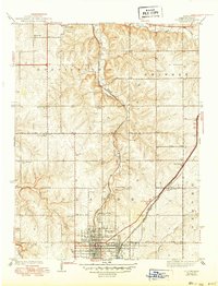
1935 Olathe
Johnson County, KS
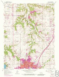
1943 Olathe
Johnson County, KS
1956 Olathe
Johnson County, KS

1983 Olathe
Johnson County, KS
1991 Olathe
Johnson County, KS
2009 Olathe
Johnson County, KS
2012 Olathe
Johnson County, KS
2015 Olathe
Johnson County, KS
2018 Olathe
Johnson County, KS
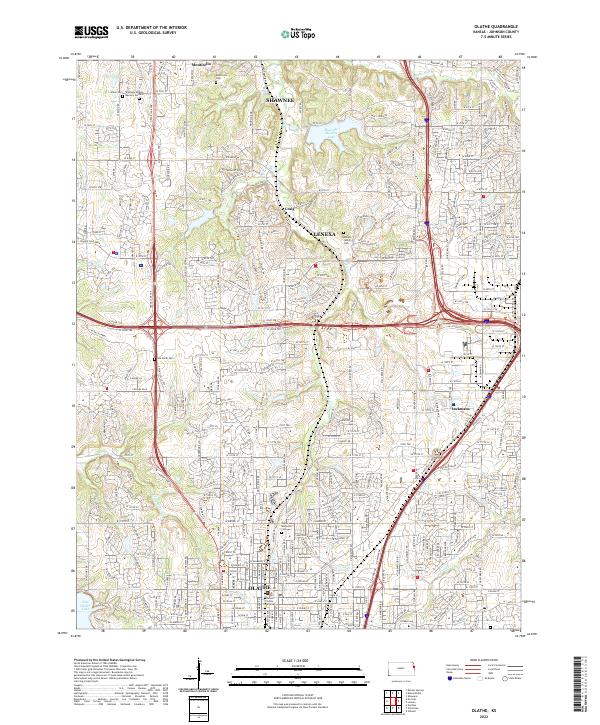
2022 Olathe
Johnson County, KS