
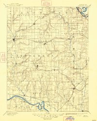
1886 Map of Oskaloosa
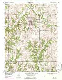
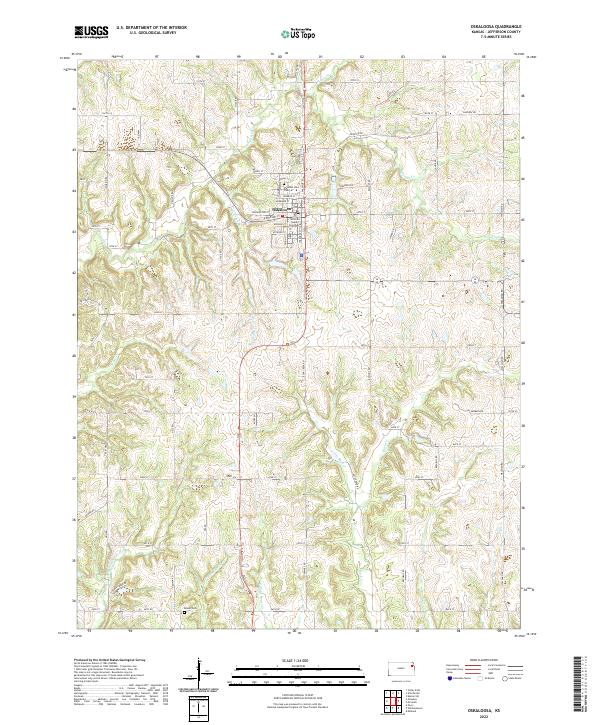
USGS Topo · Published 1954About this map
Oskaloosa and the surrounding Jefferson County landscape are defined by a dense network of late-nineteenth-century rail lines and river valleys. The Kansas River carves through the southern portion of the territory, passing the historic capital of Lecompton and the settlement at Perry. To the northeast, the Missouri River clips the corner near Bean Lake and Oak Mills. The map reveals the expansion of the American West through five major rail systems, including the Union Pacific Railroad and the Atchison Topeka and Santa Fe Railroad, which connected frontier towns like Nortonville and Valley Falls. This era of development is captured just as the township grid was fully established, with Jarbalo Mound standing as a rare topographical landmark in the eastern reaches near Jarbalo. Smaller communities such as McLouth and Tonganoxie appear as vital stops along these competing steam-engine routes.
Find a feature on this map
94 named features on this map. Tap any name to fly to it.
Don’t see what you’re looking for? This feature index may not catch every label — zoom into the map to look around manually.
Map Details
Editions of this 1886 Oskaloosa Map
This is the sole edition of this map. No revisions or reprints were ever made.
Historical Maps of Lawrence Through Time
9 maps found
1886 Oskaloosa
Jefferson County, KS

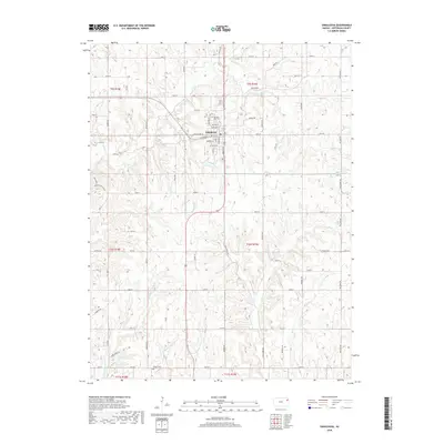
1888 Oskaloosa
Jefferson County, KS
1894 Oskaloosa
Jefferson County, KS
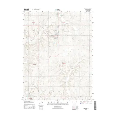
1951 Oskaloosa
Jefferson County, KS
2009 Oskaloosa
Jefferson County, KS
2012 Oskaloosa
Jefferson County, KS
2015 Oskaloosa
Jefferson County, KS
2018 Oskaloosa
Jefferson County, KS
2022 Oskaloosa
Jefferson County, KS