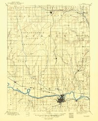
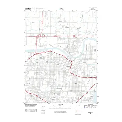
1889 Map of Topeka
USGS Topo · Published 1889About this map
The Pottawatomie Indian Reservation dominates the central landscape of this late-nineteenth-century survey, illustrating the complex land divisions of early Kansas. To the south, the Kansas River serves as a primary geographic anchor, with the state capital of Topeka sprawling across its banks. The settlement pattern is defined by the convergence of major transit lines, including the Union Pacific Railroad and the Atchison Topeka and Santa Fe Railroad, which facilitated the growth of river towns like Rossville, Silver Lake, and Tecumseh.
Find a feature on this map
63 named features on this map. Tap any name to fly to it.
Don’t see what you’re looking for? This feature index may not catch every label — zoom into the map to look around manually.
Map Details
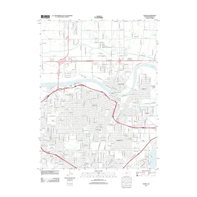
Editions of this 1889 Topeka Map
This is the sole edition of this map. No revisions or reprints were ever made.
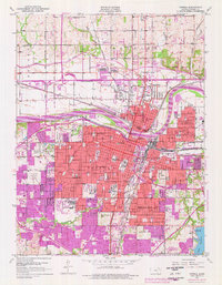
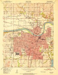
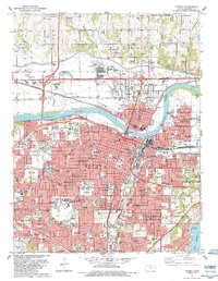
Historical Maps of Topeka Through Time
10 maps found