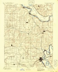
1885 Map of Atchison
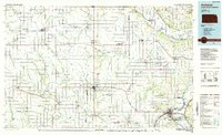
USGS Topo · Published 1954About this map
The Iowa Indian Reservation occupies the northern reaches of this territory, where the Missouri River forms a sweeping, intricate boundary between Kansas and Missouri. In this late nineteenth-century landscape, the river is not merely a border but a dynamic economic engine, flanked by a dense concentration of competing rail lines like the St. Joseph and Council Bluffs Railroad and the Hannibal and St. Joseph Chicago and Rock Island Railroad. These routes converge at the regional hub of Atchison and the riverside settlement of Winthrop.
Find a feature on this map
80 named features on this map. Tap any name to fly to it.
Don’t see what you’re looking for? This feature index may not catch every label — zoom into the map to look around manually.
Map Details
Editions of this 1885 Atchison Map
This is the sole edition of this map. No revisions or reprints were ever made.
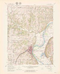
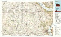
Historical Maps of Atchison Through Time
6 maps found