
1893 Map of Atchison
USGS Topo · Published 1893About this map
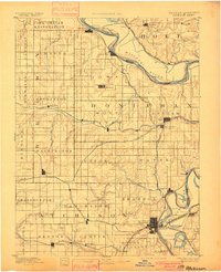
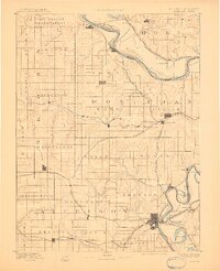
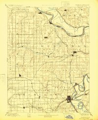
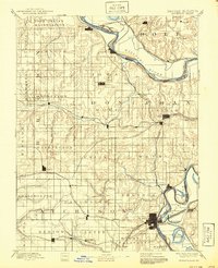
The Iowa Indian Reservation dominates the northern corner of this landscape, positioned along the serpentine curves of the Missouri River. Surveyed shortly after the mid-1880s, the map reveals a dense network of steam-era transportation, where the Missouri Pacific Railroad and the Chicago Kansas and Nebraska Railroad converge on regional hubs like Atchison and Troy. The river valley itself is defined by shifting channels and oxbows, including Sugar Lake and Prairie Lake, which hint at the waterway's historical volatility before modern stabilization.
Find a feature on this map
74 named features on this map. Tap any name to fly to it.
Don’t see what you’re looking for? This feature index may not catch every label — zoom into the map to look around manually.
Map Details
Editions of this 1893 Atchison Map
5 editions found
Other maps of this area

1885 · Atchison
USGS Topo · 1:125,000

1886 · Oskaloosa
USGS Topo · 1:125,000

1888 · Oskaloosa
USGS Topo · 1:125,000

1888 · Atchison
USGS Topo · 1:125,000

1888 · Hiawatha
USGS Topo · 1:125,000

1889 · Topeka
USGS Topo · 1:125,000

1890 · Kansas City
USGS Topo · 1:125,000

1894 · Kansas City
USGS Topo · 1:125,000

1894 · Oskaloosa
USGS Topo · 1:125,000

1894 · Topeka
USGS Topo · 1:125,000