
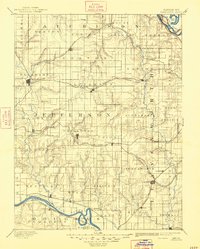
1894 Map of Oskaloosa
USGS Topo · Published 1894About this map
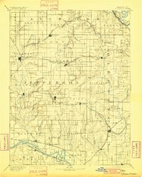
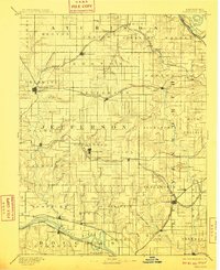
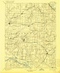
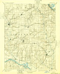
Oskaloosa serves as a central hub in this late nineteenth-century portrait of northeast Kansas, where a dense grid of township boundaries and early rail lines defines the agricultural landscape. The region's development is heavily influenced by its waterways, from the Missouri River in the northeast corner to the winding course of the Kansas River near Lecompton and Perry in the south. Several major rail corridors, including the Atchison Topeka and Santa Fe Railroad and the Union Pacific Railroad, bisect the territory, connecting established settlements like Valley Falls and Winchester.
Find a feature on this map
89 named features on this map. Tap any name to fly to it.
Don’t see what you’re looking for? This feature index may not catch every label — zoom into the map to look around manually.
Map Details
Editions of this 1894 Oskaloosa Map
6 editions found
Other maps of this area

1885 · Atchison
USGS Topo · 1:125,000

1885 · Lawrence
USGS Topo · 1:125,000

1886 · Oskaloosa
USGS Topo · 1:125,000

1887 · Olathe
USGS Topo · 1:125,000

1888 · Oskaloosa
USGS Topo · 1:125,000

1888 · Atchison
USGS Topo · 1:125,000

1888 · Hiawatha
USGS Topo · 1:125,000

1889 · Burlingame
USGS Topo · 1:125,000

1889 · Topeka
USGS Topo · 1:125,000

1889 · Lawrence
USGS Topo · 1:125,000