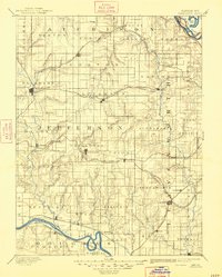
1894 Map of Oskaloosa
USGS Topo · Published 1948About this map
Oskaloosa and the surrounding Jefferson County landscape appear here as they were surveyed in the mid-1880s, a period defined by the rapid expansion of the steam railroad across the Kansas prairie. The map captures a complex web of transportation, where the Union Pacific Railroad and the Atchison Topeka and Santa Fe Railroad intersect at vital junctions like Mc Louth and Valley Falls. These rails connect established river towns like Lecompton on the Kansas River to upland settlements such as Winchester and Nortonville.
Find a feature on this map
80 named features on this map. Tap any name to fly to it.
Don’t see what you’re looking for? This feature index may not catch every label — zoom into the map to look around manually.
Map Details
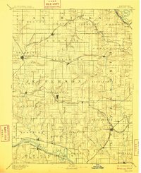
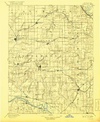
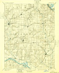
Editions of this 1894 Oskaloosa Map
6 editions found


Other maps of this area

1885 · Atchison
USGS Topo · 1:125,000

1885 · Lawrence
USGS Topo · 1:125,000

1886 · Oskaloosa
USGS Topo · 1:125,000

1887 · Olathe
USGS Topo · 1:125,000

1888 · Oskaloosa
USGS Topo · 1:125,000

1888 · Atchison
USGS Topo · 1:125,000

1888 · Hiawatha
USGS Topo · 1:125,000

1889 · Burlingame
USGS Topo · 1:125,000

1889 · Topeka
USGS Topo · 1:125,000

1889 · Lawrence
USGS Topo · 1:125,000