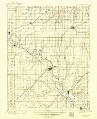
1885 Map of Burlington
USGS Topo · Published 1885About this map
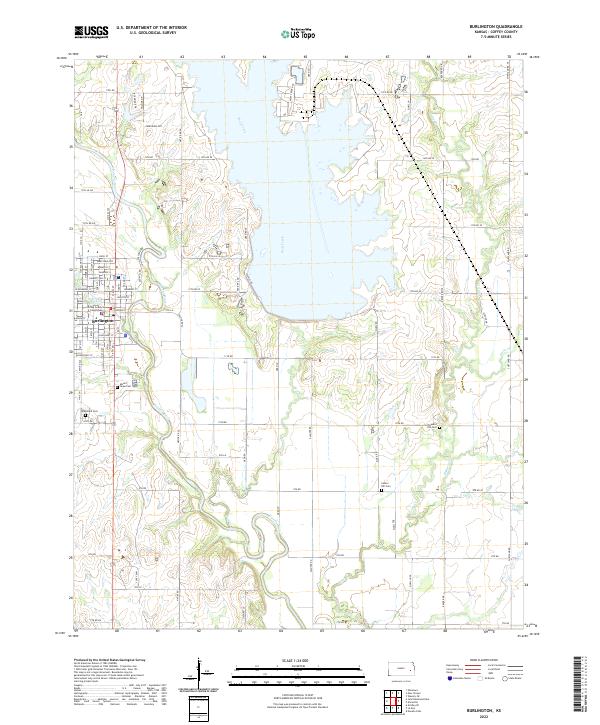
The Neosho River winds through the heart of Coffey County, serving as a primary corridor for development in the late nineteenth century. At its center, Burlington emerges as a vital regional hub where the Kansas Southern Railroad intersects with the Missouri Pacific Railroad. This rail-and-river network fostered a constellation of smaller agricultural settlements like Waverly, Lebo, and Leroy. The map reveals an early landscape of named townships including Arvonia, Ottumwa, and Pottawatomie, illustrating the organized expansion of Kansas homesteads. Numerous tributaries such as Wolf Creek and Long Creek define the drainage patterns across the prairie, while smaller outposts like Bellgrade and Aliceville suggest the density of rural community life before the consolidation of the twentieth century.
Find a feature on this map
72 named features on this map. Tap any name to fly to it.
Don’t see what you’re looking for? This feature index may not catch every label — zoom into the map to look around manually.
Map Details
Editions of this 1885 Burlington Map
This is the sole edition of this map. No revisions or reprints were ever made.
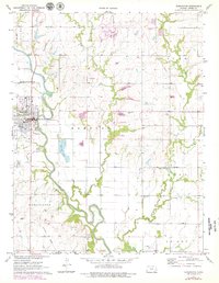
Historical Maps of Burlington Through Time
8 maps found