Old Maps of Ottumwa, Kansas
Explore 14 old maps of Ottumwa, spanning from 1885 to today. These high-resolution historic maps reveal how streets, neighborhoods, landmarks, and natural features evolved over time — perfect for genealogy, metal detecting, research, and local history exploration.
What you can do with these maps:
- See how Ottumwa changed over time: Compare historical maps to modern-day views to trace roads, homesites, rail lines & more.
- View detailed metadata: Each map includes creators, publishers, year, scale, and archive source.
- Overlay maps with satellite & LiDAR: Visualize the past alongside modern tools to explore terrain & human change.
- Trusted historical sources: Maps sourced from the USGS, Library of Congress, and other archives.
- Access maps your way: View online, download high-res files, or order prints for personal or research use.
Start exploring old maps of Ottumwa to uncover forgotten places, hidden landmarks, and the deep history beneath your feet.
Ottumwa, KS maps
(14)- 1885 Map of Burlington
 1885 Burlington1885 Print · USGSCoffey County was a hub of steam and steel in the 1880s, where several competing rail lines converged on the river valley. You can trace early family homesteads near Burlington, the small settlement of Bellgrade, and the junctions of the Kansas Southern Railroad.
 - 1894 Map of Burlington
 1894 Burlington1894 Print · USGSCoffey County was a bustling intersection of iron and water in the 1880s, where the Neosho River met multiple competing railroads. Genealogists can trace family footprints in early settlements like Burlington, Leroy, and the Welsh community of Arvonia.5 unique versions available
 - 1947 Map of Lawrence, 1954 Print
 1947 Lawrence1954 Print · USGSEastern Kansas and western Missouri thrive in the late 1940s, showing a landscape defined by major river valleys and a dense railway network. Genealogists can trace family settlements from Lawrence to Greenwood and locate landmarks like Olathe Navy and Lake Lotawana.
 - 1950 Map of Lawrence
 1950 Lawrence1950 Print · USGSMid-century Kansas and Missouri come alive in this map of the river-valley corridors just as the interstate era was beginning. Researchers can trace the legacy of major rail lines like the Union Pacific RR and locate ancestral roots in towns from Lawrence to Harrisonville.
 - 1956 Map of Lawrence, 1967 Print
 1956 Lawrence1967 Print · USGSEastern Kansas and the Missouri border country are captured here during the mid-century transition to the interstate era. Genealogists and local historians can trace family-named terrain like Summers Mound and the footprint of Sunflower Ordnance Works near Baldwin City.4 unique versions available
 - 1961 Map of Lawrence
 1961 Lawrence1961 Print · USGSThe Kansas-Missouri borderland shows its mid-century transition from a rail-dependent agricultural region to a suburbanizing landscape. Genealogists can trace family footprints through numerous Cem sites and distinctive terrain landmarks like Graves Mound and Summers Mound.
 - 1970 Map of Ottumwa, 1973 Print
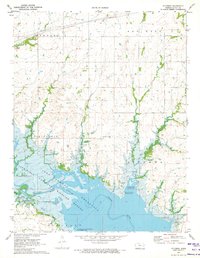 1970 Ottumwa1973 Print · USGSThe Neosho River valley of Coffey County is shown here just as it was being redefined by the John Redmond Reservoir in the early seventies. You can trace the shift from agriculture to recreation at Jacobs Creek Landing or locate the historic Bowman & Adgate Cem in the hills to the north.
 - 1985 Map of Garnett
 1985 Garnett1985 Print · USGSAnderson County and its neighbors in the mid-eighties show a landscape of rising reservoirs and enduring rail towns. Genealogists and historians can trace the transition from rail to highway at Beto Junction or locate heritage sites like Silkville and Neosho Rapids.
 - 1990 Map of Garnett
 1990 Garnett1990 Print · USGSEast-central Kansas was a landscape of major reservoirs and established rail towns during the 1990s. Genealogists and historians can trace the paths of the Missouri Pacific Railroad and the Atchison Topeka and Santa Fe Railway through towns like Garnett and Silkville.
 - 2009 Map of Ottumwa, 2009 Print
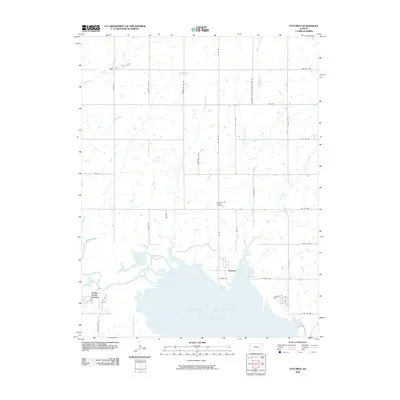 2009 Ottumwa2009 Print · USGSThe rural landscape of Coffey County is shown here just north of the John Redmond Reservoir in the first decade of the 2000s. Genealogists and local historians can trace the vicinity of Ottumwa and locate the Bowman and Adgate Cemetery.
 - 2012 Map of Ottumwa, 2012 Print
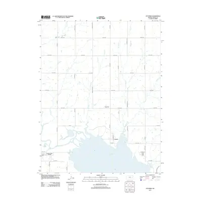 2012 Ottumwa2012 Print · USGSCoffey County, Kansas, is documented here in the early twenty-first century as the prairie landscape transitions into the waters of the John Redmond Reservoir. Genealogists and local historians can locate the Bowman and Adgate Cem and trace the original course of the Neosho River through Ottumwa.
 - 2015 Map of Ottumwa, 2015 Print
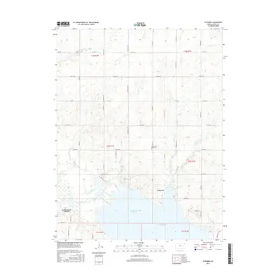 2015 Ottumwa2015 Print · USGSOttumwa and the northern reaches of the John Redmond Reservoir are captured here in the early twenty-first century. Genealogists and local historians can trace family-named sites like Bowman and Adgate Cem and follow the paths of Dove Roost Trail or Benedict Cr.
 - 2018 Map of Ottumwa, 2018 Print
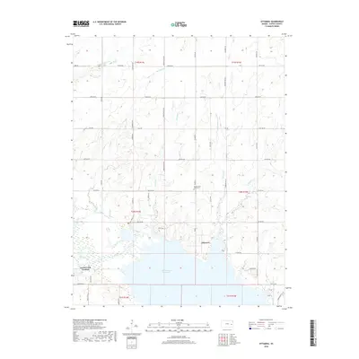 2018 Ottumwa2018 Print · USGSThe northern reaches of the Neosho River valley appear in this 2018 survey as a landscape defined by water and history. Genealogists and local historians can locate the Bowman and Adgate Cem and the settlement of Ottumwa along the shoreline of John Redmond Reservoir.
 - 2022 Map of Ottumwa, 2022 Print
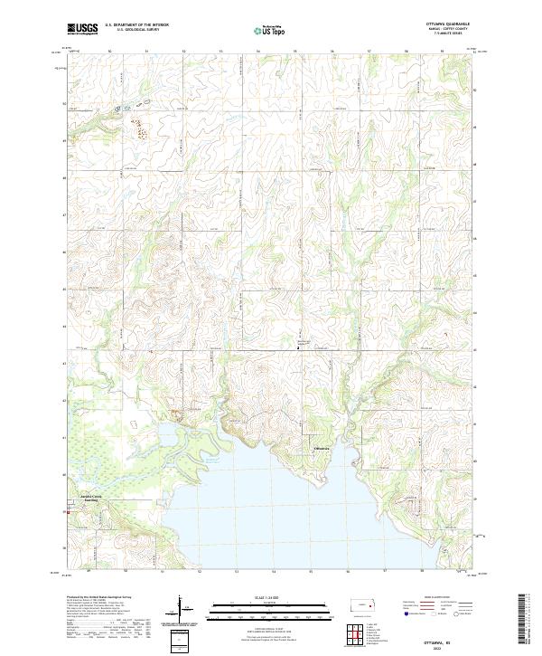 2022 Ottumwa2022 Print · USGSCoffey County in the early twenty-first century shows a landscape reshaped by the John Redmond Reservoir. Local historians can trace the rural layout around Ottumwa and find family-named landmarks like the Bowman and Adgate Cem.
End of results
Showing maps 1-14 of 14
Top cities near Ottumwa
- Burlington historical maps
- Lebo historical maps
- Waverly historical maps
- Hartford historical maps
- Melvern historical maps
- New Strawn historical maps
See more
Frequently asked questions
- What are the different types of historical maps available for Ottumwa?
- What is the oldest map of Ottumwa?
- Where can I purchase historical maps of Ottumwa for my home or office?
- Where can I download high-res historical maps of Ottumwa?
- Are there historical topographic maps available for Ottumwa?
- Is there historical aerial imagery available for Ottumwa?
- Where are historical maps of Ottumwa sourced from?