1885 Map of Eureka
USGS Topo · Published 1885About this map
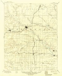
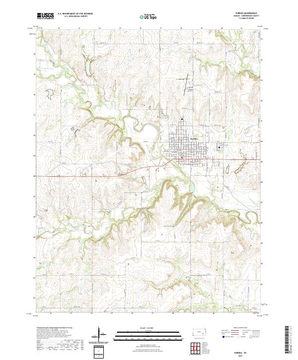
The confluence of the Fall River and its numerous tributaries, including Honey Creek and Otter Creek, provides the geographic foundation for this survey of Greenwood County in the mid-1880s. The region is defined by a developing railroad network that spurred the growth of cattle-shipping points and farm towns. The Atchison Topeka and Santa Fe Railroad runs north-to-south, intersecting with the St Louis Ft Scott and Wichita Railroad at Eureka, the prominent county seat. Further south, the St Louis and San Francisco Railroad connects smaller outposts like Piedmont and Severy. This landscape reflects a transition from open prairie to a structured township system, with established communities such as Hamilton and Reece appearing alongside smaller settlements like Derry and Climax, many of which were vital links in the local agricultural economy before later consolidation.
Find a feature on this map
61 named features on this map. Tap any name to fly to it.
Don’t see what you’re looking for? This feature index may not catch every label — zoom into the map to look around manually.
Map Details
Editions of this 1885 Eureka Map
This is the sole edition of this map. No revisions or reprints were ever made.
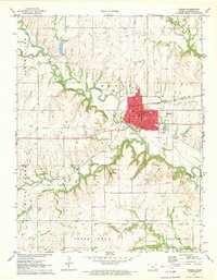
Historical Maps of Eureka Through Time
9 maps found