
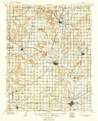
1886 Map of Independence
USGS Topo · Published 1886About this map
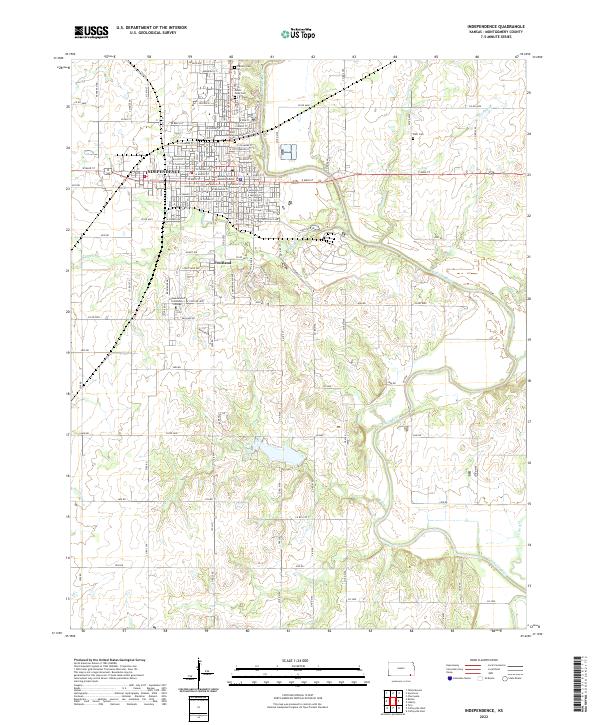
Independence serves as the central hub of this late-19th-century landscape, situated at the confluence of several early rail lines and major prairie waterways. This 1884 survey by William J. Peters captures the region's rapid development as a transportation nexus, where the St. Louis and San Francisco Railroad and the Kansas Southern Railroad intersect at vital trade points like Cherryvale and Neodesha. The terrain is punctuated by distinctive landmarks such as Table Mound and Walker's Mound, which overlook a network of creek systems including Sycamore Creek, Duck Creek, and the Cana River.
Find a feature on this map
96 named features on this map. Tap any name to fly to it.
Don’t see what you’re looking for? This feature index may not catch every label — zoom into the map to look around manually.
Map Details
Editions of this 1886 Independence Map
This is the sole edition of this map. No revisions or reprints were ever made.
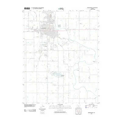
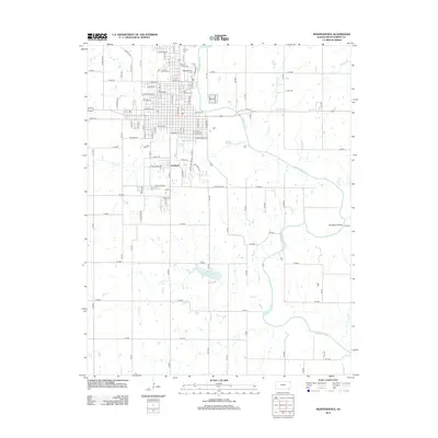
Historical Maps of Parsons Through Time
9 maps found
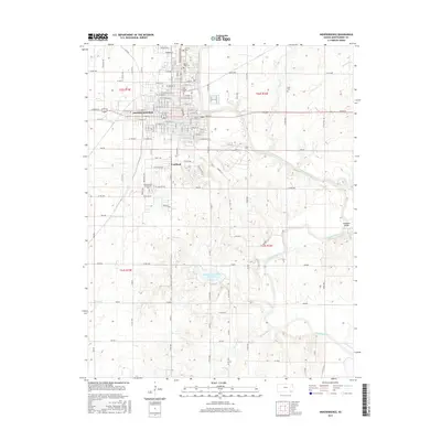
1886 Independence
Montgomery County, KS

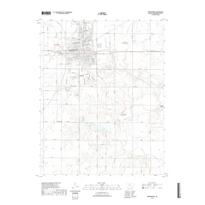
1894 Independence
Montgomery County, KS
1905 Independence
Montgomery County, KS
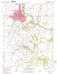
1959 Independence
Montgomery County, KS
2010 Independence
Montgomery County, KS
2012 Independence
Montgomery County, KS
2015 Independence
Montgomery County, KS
2018 Independence
Montgomery County, KS
2022 Independence
Montgomery County, KS