
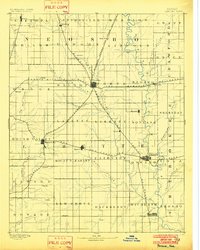
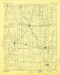
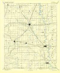
1893 Map of Parsons
USGS Topo · Published 1893About this map
Parsons emerges as the dominant rail hub of southeastern Kansas during this 1884 survey period, serving as the central junction for the Missouri Kansas and Texas Railroad and several competing lines. The landscape is defined by its early township divisions, such as Mound Valley, Mount Pleasant, and Hackberry, which highlight the systematic agricultural settlement of the era.
Find a feature on this map
59 named features on this map. Tap any name to fly to it.
Don’t see what you’re looking for? This feature index may not catch every label — zoom into the map to look around manually.
Map Details
Editions of this 1893 Parsons Map
4 editions found
Other maps of this area

1884 · Fort Scott
USGS Topo · 1:125,000

1886 · Fredonia
USGS Topo · 1:125,000

1886 · Joplin
USGS Topo · 1:125,000

1886 · Iola
USGS Topo · 1:125,000

1886 · Independence
USGS Topo · 1:125,000

1886 · Fort Scott
USGS Topo · 1:125,000

1886 · Parsons
USGS Topo · 1:125,000

1893 · Fort Scott
USGS Topo · 1:125,000

1893 · Iola
USGS Topo · 1:125,000

1894 · Fredonia
USGS Topo · 1:125,000