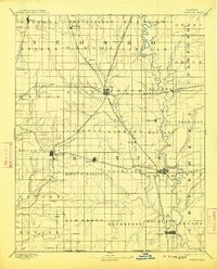
1893 Map of Parsons
USGS Topo · Published 1913About this map
Parsons emerges as a critical late-nineteenth-century rail hub in this topographic survey of Labette County. The town sits at the intersection of several major lines, including the Missouri Kansas and Texas Railroad and the Kansas City and Pacific Railroad, illustrating the vital role of transit in the development of southeastern Kansas. To the southeast, the Neosho River snakes through the landscape, flanked by the township of Oswego, which serves as another significant crossing point for the St Louis and San Francisco Railroad.
Find a feature on this map
61 named features on this map. Tap any name to fly to it.
Don’t see what you’re looking for? This feature index may not catch every label — zoom into the map to look around manually.
Map Details
Editions of this 1893 Parsons Map
4 editions found
Other maps of this area

1884 · Fort Scott
USGS Topo · 1:125,000

1886 · Fredonia
USGS Topo · 1:125,000

1886 · Joplin
USGS Topo · 1:125,000

1886 · Iola
USGS Topo · 1:125,000

1886 · Independence
USGS Topo · 1:125,000

1886 · Fort Scott
USGS Topo · 1:125,000

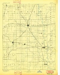
1886 · Parsons
USGS Topo · 1:125,000

1893 · Fort Scott
USGS Topo · 1:125,000

1893 · Iola
USGS Topo · 1:125,000

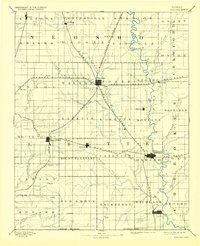
1893 · Parsons
USGS Topo · 1:125,000