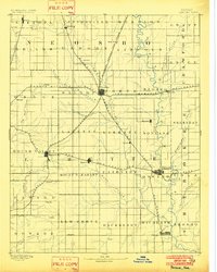
1893 Map of Parsons
USGS Topo · Published 1902About this map
Parsons serves as the central hub of this late-nineteenth-century landscape, where five major rail lines converge in a striking radial pattern. The city's growth is tied to the Missouri Kansas and Texas Railroad, which bisects the county alongside the Kansas City and Pacific Railroad. To the south, Oswego sits along the banks of the Neosho River, while smaller agricultural centers like Altamont and Mound Valley anchor the western townships.
Find a feature on this map
61 named features on this map. Tap any name to fly to it.
Don’t see what you’re looking for? This feature index may not catch every label — zoom into the map to look around manually.
Map Details
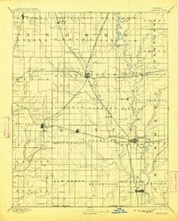
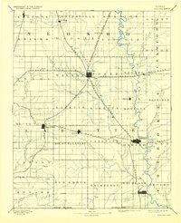
Editions of this 1893 Parsons Map
4 editions found
Other maps of this area

1884 · Fort Scott
USGS Topo · 1:125,000

1886 · Fredonia
USGS Topo · 1:125,000

1886 · Joplin
USGS Topo · 1:125,000

1886 · Iola
USGS Topo · 1:125,000

1886 · Independence
USGS Topo · 1:125,000

1886 · Fort Scott
USGS Topo · 1:125,000

1886 · Parsons
USGS Topo · 1:125,000

1893 · Fort Scott
USGS Topo · 1:125,000

1893 · Iola
USGS Topo · 1:125,000

1893 · Parsons
USGS Topo · 1:125,000