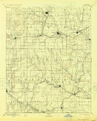
1885 Map of Sedan
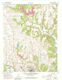
USGS Topo · Published 1960About this map
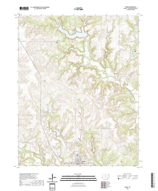
Elk River carves a path through the northern landscape of Chautauqua and Elk Counties, where early rail expansion dictated the growth of nineteenth-century cattle and farming towns. This reconnaissance survey, conducted by Henry Gannett and his team, captures a pivotal moment when multiple competing rail lines were threading through the Flint Hills region. The Atchison Topeka and Santa Fe Railroad and the Denver Memphis and Atlantic Railroad connect established hubs like Howard, Sedan, and Moline. Smaller, isolated settlements such as Boston and Cloverdale appear alongside numerous watercourses like Caney Creek and Wild Cat Creek, illustrating the transition from a purely river-dependent economy to one unified by the steam engine. The southern edge of the survey is defined by the Kansas Oklahoma Boundary Line, marking the frontier limit of the state at that time.
Find a feature on this map
67 named features on this map. Tap any name to fly to it.
Don’t see what you’re looking for? This feature index may not catch every label — zoom into the map to look around manually.
Map Details
Editions of this 1885 Sedan Map
This is the sole edition of this map. No revisions or reprints were ever made.
Historical Maps of Sedan Through Time
9 maps found