Old Maps of Morris County, Kansas
Explore 110 old maps of Morris County, spanning from 1885 to today. These high-resolution historic maps reveal how streets, neighborhoods, landmarks, and natural features evolved over time — perfect for genealogy, metal detecting, research, and local history exploration.
What you can do with these maps:
- See how Morris County changed over time: Compare historical maps to modern-day views to trace roads, homesites, rail lines & more.
- View detailed metadata: Each map includes creators, publishers, year, scale, and archive source.
- Overlay maps with satellite & LiDAR: Visualize the past alongside modern tools to explore terrain & human change.
- Trusted historical sources: Maps sourced from the USGS, Library of Congress, and other archives.
- Access maps your way: View online, download high-res files, or order prints for personal or research use.
Start exploring old maps of Morris County to uncover forgotten places, hidden landmarks, and the deep history beneath your feet.
Morris County, KS maps
(110)- 1885 Map of Eskridge
 1885 Eskridge1885 Print · USGSEast-central Kansas was a hub of rapid railroad expansion in the 1880s, where iron rails began to define the prairie landscape. Genealogists and historians can trace the early layout of Council Grove and find now-quiet settlements like Bismarck and Admire City.
 - 1889 Map of Parkerville
 1889 Parkerville1889 Print · USGSMorris and Marion County townships appear here during the great western rail boom. Genealogists and historians can trace the early layouts of Parkerville, White City, and Herrington along the Chicago Kansas and Nebraska Railroad.
 - 1889 Map of Eskridge
 1889 Eskridge1889 Print · USGSKansas prairie life in the late 1880s is defined here by the rapid arrival of the iron horse across Wabaunsee and Lyon counties. Genealogists and historians can trace early rail hubs like Council Grove and Eskridge, or follow the winding path of One Hundred and Forty Two Mile Creek.
 - 1894 Map of Eskridge
 1894 Eskridge1894 Print · USGSEast-central Kansas was a bustling corridor of competing railroads and growing prairie towns in the decade before the turn of the century. Genealogists and local historians can trace the early footprints of Council Grove and Eskridge, alongside smaller locales like Dunlap and Agnes City.5 unique versions available
 - 1894 Map of Parkerville
 1894 Parkerville1894 Print · USGSEastern Kansas at the height of the steam era shows a landscape transformed by competing rail lines and growing prairie towns. Genealogists and historians can trace early settlements like White City, Parkerville, and the riverside hub of Council Grove.6 unique versions available
 - 1955 Map of Hutchinson, 1967 Print
 1955 Hutchinson1967 Print · USGSCentral Kansas in the mid-sixties reveals a landscape of growing reservoirs and evolving transportation corridors. Trace the development of towns like Hutchinson and Abilene alongside the Union Pacific Railroad and the expanding Interstate 70.3 unique versions available
 - 1959 Map of Hutchinson
 1959 Hutchinson1959 Print · USGSCentral Kansas thrives at the intersection of rail and river in the mid-1950s, as post-war aviation infrastructure reshapes the prairie. Genealogists and historians can trace the paths of the AT&SF RR through Newton and Hutchinson, or locate military sites like Smoky Hill Air Force Base.2 unique versions available
 - 1964 Map of Skiddy, 1965 Print
 1964 Skiddy1965 Print · USGSThe rural landscapes of Morris and Geary Counties are captured in the mid-1960s, showing the settlement of Skiddy at a crossroads of rail and stream. Researchers can trace the active Chicago Rock Island and Pacific line or follow the path of an Old Railroad Grade along Clarks Creek.2 unique versions available
 - 1964 Map of Woodbine, 1966 Print
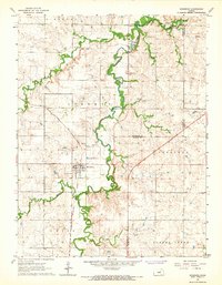 1964 Woodbine1966 Print · USGSMid-century Woodbine sits at the heart of an active rail and ranching landscape where Dickinson, Morris, and Geary counties meet. Genealogists and historians can trace the Rock Island line, find the Carry Creek Sch, and locate family plots at Woodbine Cem.
 - 1971 Map of Bushong, 1973 Print
 1971 Bushong1973 Print · USGSThe eastern Kansas plains of the early 1970s come into focus here, showing the rural communities of Lyon and Wabaunsee counties. Researchers can trace the path of the Old Indian Treaty Grade and locate family history at Agnes City Cem or along the Missouri Pacific railroad line.2 unique versions available
 - 1971 Map of Alta Vista, 1974 Print
 1971 Alta Vista1974 Print · USGSThe Flint Hills region of Wabaunsee and Morris counties is shown here in the early seventies, centered on the rail town of Alta Vista. Researchers can trace the Old Indian Treaty Boundary across the landscape or locate local landmarks like the Garfield Cemetery and the Beman Cemetery.
 - 1971 Map of Council Grove Lake, 1974 Print
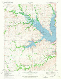 1971 Council Grove Lake1974 Print · USGSMorris County was undergoing a major hydrological shift in the early 1970s as the Neosho River valley was reshaped by flood control projects. Researchers can trace the Old Indian Treaty Boundary and locate family history sites like Kelso Cem and Greenwood Cemetery.
 - 1971 Map of Dwight, 1974 Print
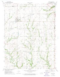 1971 Dwight1974 Print · USGSThe town of Dwight and its surrounding prairie landscape are shown here in the early 1970s at the intersection of Morris and Geary counties. Local historians can trace the Chicago Rock Island and Pacific rail line and search for family roots at Swartz Cem or Kelso Cem.
 - 1971 Map of Council Grove, 1974 Print
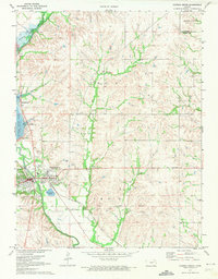 1971 Council Grove1974 Print · USGSMorris County in the early 1970s reveals a landscape shaped by water engineering and deep territorial history. Researchers can trace the Old Indian Treaty Boundary and explore the mid-century recreation sites like the Drive-in Theater and Richey Cove South Recreation Area.2 unique versions available
 - 1971 Map of White City, 1974 Print
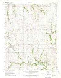 1971 White City1974 Print · USGSWhite City and Parkerville are shown at a turning point in the early 1970s as rail transit evolved alongside traditional Kansas farming. Genealogists and historians can trace local family landmarks like Ramsey-Black Cem and the OLD RAILROAD GRADE near the Neosho River.
 - 1972 Map of Wilsey, 1974 Print
 1972 Wilsey1974 Print · USGSWilsey was a quiet railroad stop on the Missouri Pacific line during the early seventies. Genealogists and researchers can trace the town grid and nearby landmarks like Highland Cem, Elm Creek, and the winding Neosho River headwaters.
 - 1972 Map of Americus, 1974 Print
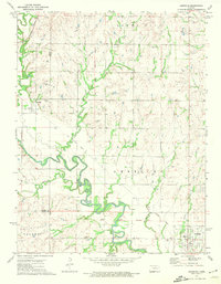 1972 Americus1974 Print · USGSLyon and Morris counties in the early 1970s reveal a landscape of river-bottom farms and small-town rail connections. You can trace the Old Indian Treaty Boundary and locate family history at Dunlap Cem or the township of Toledo.
 - 1972 Map of Burdick, 1974 Print
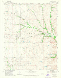 1972 Burdick1974 Print · USGSBurdick and the surrounding Flint Hills borderlands are captured here during the early seventies, centered on the Atchison Topeka and Santa Fe rail corridor. Genealogists and local historians can trace family land near Hebron Church or follow the winding courses of Sixmile Creek and Diamond Creek.
 - 1972 Map of Delavan, 1974 Print
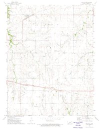 1972 Delavan1974 Print · USGSMorris County was a critical junction of the Kansas rail network in the 1970s, where two major lines crossed the prairie. Researchers can trace family roots through the Delavan Cem or follow the paths of the Missouri Pacific and Chicago Rock Island and Pacific railroads.
 - 1972 Map of Lost Springs, 1974 Print
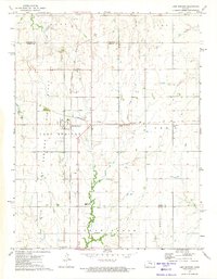 1972 Lost Springs1974 Print · USGSLost Springs and the surrounding Marion County countryside are captured here in the early seventies at a peak of rail and resource activity. Researchers can trace the junction of the Chicago Topeka and Santa Fe and the Chicago Rock Island and Pacific railroads near Old Mission Cem and active Oil Wells.
 - 1972 Map of Wilsey SE, 1974 Print
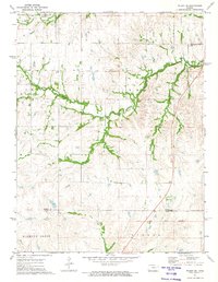 1972 Wilsey SE1974 Print · USGSThe Flint Hills of Morris and Chase counties are captured here in the early 1970s, showcasing a landscape shaped by early surveyors and ranching. Trace the path of the Indian Treaty Boundary or locate landmarks like Fourmile Cem and the Missouri Pacific rail line.
 - 1972 Map of Diamond Springs, 1974 Print
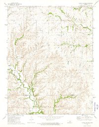 1972 Diamond Springs1974 Print · USGSThe Flint Hills region of central Kansas comes into focus in the early 1970s as railroads and winding creeks define the rural landscape. Genealogists and researchers can trace family roots near Diamond Creek Cem or follow the historic rail lines of the Atchison Topeka and Santa Fe.
 - 1972 Map of Herington, 1974 Print
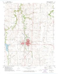 1972 Herington1974 Print · USGSHerington in the early seventies remains a vital rail crossroads for Morris and Dickinson counties. Researchers can trace the legacy of local families through landmarks like Sunset Hill Cem, St Johns Cem, and the LOST SPRINGS OIL FIELD.
 - 1972 Map of Lake Kahola, 1974 Print
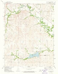 1972 Lake Kahola1974 Print · USGSThe Morris and Chase County borderlands come into focus during the early seventies, centered on the newly established Lake Kahola. Genealogists and local historians can trace the Old Indian Treaty Boundary and the path of the Missouri Pacific rail line.
 - 1985 Map of Council Grove
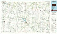 1985 Council Grove1985 Print · USGSThe Flint Hills region of Kansas thrives in the mid-1980s as a vital crossroads for major rail lines and prairie water systems. Researchers can trace the path of the Atchison Topeka and Santa Fe through small towns like Hope and Burdick or locate landmarks like Lake Kahola.2 unique versions available
Showing maps 1-25 of 110
Top cities of Morris County
- Council Grove historical maps
- White City historical maps
- Dwight historical maps
- Wilsey historical maps
- Dunlap historical maps
- Parkerville historical maps
See more
Frequently asked questions
- What are the different types of historical maps available for Morris County?
- What is the oldest map of Morris County?
- Where can I purchase historical maps of Morris County for my home or office?
- Where can I download high-res historical maps of Morris County?
- Are there historical topographic maps available for Morris County?
- Is there historical aerial imagery available for Morris County?
- Where are historical maps of Morris County sourced from?