2010s Maps of Morris County, Kansas
Explore 55 historic maps of Morris County from the 2010s. These maps offer a rare glimpse into what life looked like during the 2010s — showing old roads, neighborhoods, homes, and landmarks that have changed or disappeared over time.
Whether you're researching your family's past, planning a metal detecting trip, or studying how Morris County's landscape evolved across the 2010s, these high-resolution maps are a powerful tool for exploring the history of this region.
- Focus on a specific era: All maps on this page are from the 2010s, giving you a focused view of this time period.
- See what’s changed: Compare century-old streets, trails, and buildings to today's modern landscape using overlays and satellite layers.
- Research with precision: Use these maps for genealogy, historical research, land use analysis, or educational projects.
- View, download, or print: Maps are fully viewable online in high resolution, and can be downloaded or printed for your own records.
Start exploring Morris County's history through authentic maps from the 2010s. This is your window into the past.
Morris County, KS maps
(55)- 2010 Map of Burdick, 2010 Print
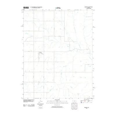 2010 Burdick2010 Print · USGSThe rural plains of Morris County are captured here a decade into the new millennium, centered on the small settlement of Burdick. Genealogists and local historians can trace the creek-side landscapes of Sixmile Creek and the specific road networks like AA Ave.
 - 2010 Map of Bushong, 2010 Print
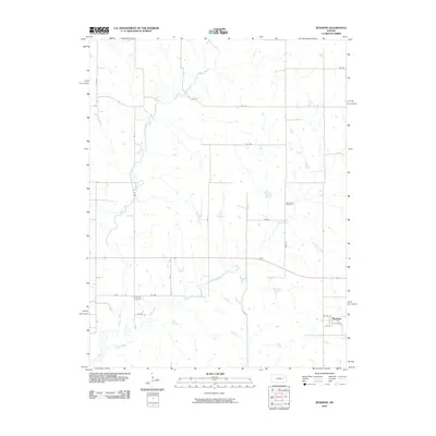 2010 Bushong2010 Print · USGSLyon County at the start of the 2010s reveals a quiet agricultural landscape centered on the small town of Bushong. Researchers can trace local genealogy at the Agnes City Cemetery and Comisky Cemetery or follow the drainage of Bluff Creek and Rock Creek.
 - 2010 Map of Wilsey SE, 2010 Print
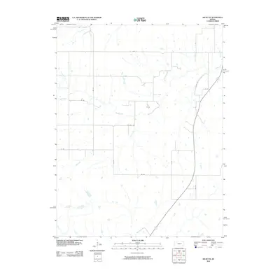 2010 Wilsey SE2010 Print · USGSMorris County ranchlands are captured here in the early twenty-first century as the section-line grid overlays the Kansas prairie. Genealogists and local researchers can trace the drainages of Elm Creek and Fourmile Creek past rural corridors like Z Ave.
 - 2010 Map of Lake Kahola, 2010 Print
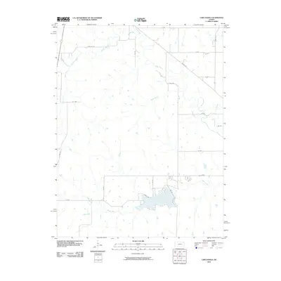 2010 Lake Kahola2010 Print · USGSMorris County at the turn of the millennium shows a landscape defined by prairie water management and rural transit. Researchers can trace the drainage of the Neosho River and the development surrounding Lake Kahola and Dunlap Rd.
 - 2012 Map of Council Grove, 2012 Print
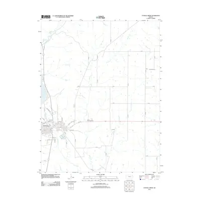 2012 Council Grove2012 Print · USGSCouncil Grove and its surrounding prairie landscapes are captured here during the early twenty-first century. Genealogists and local historians can trace the town's growth from the PO out toward the Morris County Fairgrounds or explore the John Creek Oil Field near Big John Cr.
 - 2012 Map of Woodbine, 2012 Print
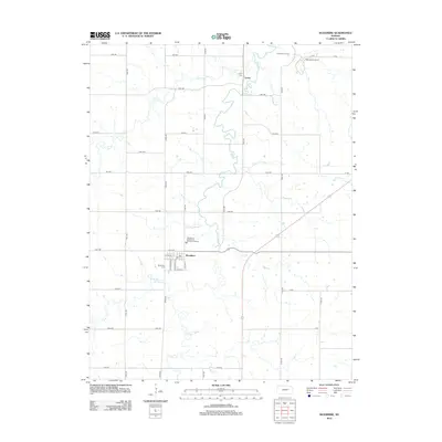 2012 Woodbine2012 Print · USGSThe rural landscape of Dickinson County is captured here in the early twenty-first century, centered on the community of Woodbine. Researchers can trace local heritage through landmarks like Lyona Cem and Woodbine Cem or follow the winding paths of Lyon Cr and Carry Cr.
 - 2012 Map of Herington, 2012 Print
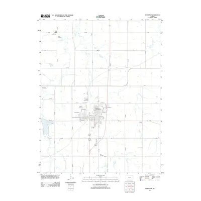 2012 Herington2012 Print · USGSHerington and its surrounding Dickinson County prairies are detailed here in the early 2010s. Researchers can trace rural lineages through numerous burial grounds including Sunset Hill Cem and Mitchell Valley Cem, or locate the sprawling Union Pacific Railroad Herington Yard.
 - 2012 Map of Diamond Springs, 2012 Print
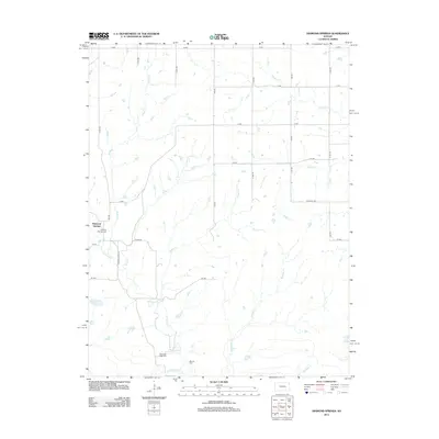 2012 Diamond Springs2012 Print · USGSDiamond Springs and the surrounding prairie are captured here in the early twenty-first century, showcasing a landscape of section-line roads and creek bottoms. Genealogists can locate several local burial grounds, including Diamond Springs Cem and Boenitz Cem.
 - 2012 Map of Delavan, 2012 Print
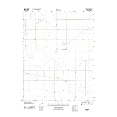 2012 Delavan2012 Print · USGSMorris County's rural heartland is preserved in this early 21st-century record of small-town life and the prairie landscape. Genealogists and researchers can pinpoint the Delavan Cem and the small settlements of Latimer and Delavan amidst the headwaters of the W Fork Neosho River.
 - 2012 Map of Wilsey, 2012 Print
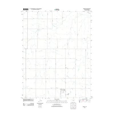 2012 Wilsey2012 Print · USGSWilsey and the surrounding Morris County prairie are documented here in the early twenty-first century, showing the town's street grid and the surrounding ranchland. Researchers can locate family plots at Wilsey Cem and Highland Cem or trace the many forks of the Neosho River and Crooked Cr.
 - 2012 Map of Alta Vista, 2012 Print
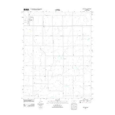 2012 Alta Vista2012 Print · USGSThe rural uplands of Wabaunsee County come into focus in the early 21st century, centered on the community of Alta Vista. Researchers can trace old migration routes along Mormon Trail Rd or locate family plots at Bemoan Cem and Garfield Cem.
 - 2012 Map of Wilsey SE, 2012 Print
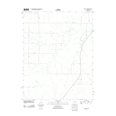 2012 Wilsey SE2012 Print · USGSSoutheast of Wilsey in the early twenty-first century, the Morris County landscape is a high-prairie grid of section-line roads and winding creeks. Genealogists and land researchers can trace property boundaries along Four Mile Rd and the drainage of Fourmile Cr or Spring Cr.
 - 2012 Map of Council Grove Lake, 2012 Print
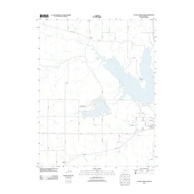 2012 Council Grove Lake2012 Print · USGSThe Morris County prairie and the waters of the Neosho River watershed are documented here during the early twenty-first century. Researchers can locate the rural settlements of Kelso and Helmick, alongside several historic burial grounds like Kelso Cem and Greenwood Cem.
 - 2012 Map of White City, 2012 Print
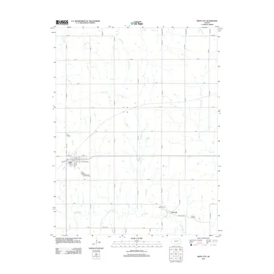 2012 White City2012 Print · USGSMorris County at the start of the 2010s reveals a structured prairie landscape centered on White City and the upper reaches of the Neosho River. Researchers can locate several family and community burial sites, including Ramsey - Black Cem and Highland Cem.
 - 2012 Map of Skiddy, 2012 Print
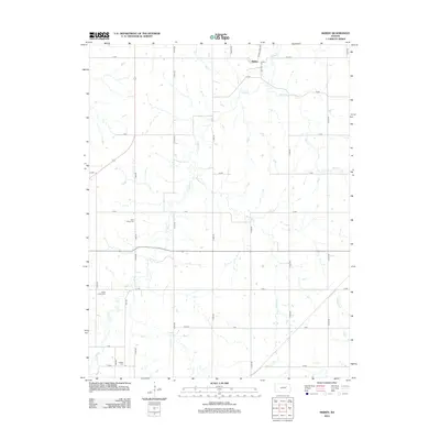 2012 Skiddy2012 Print · USGSSkiddy and the surrounding Morris County countryside are captured here in the early twenty-first century as the rural landscape maintains its traditional agricultural layout. Genealogists can locate several historic burial grounds, including Saint Johns Cem, Clarks Creek Cem, and Latimer Cem along the quiet section roads.
 - 2012 Map of Lake Kahola, 2012 Print
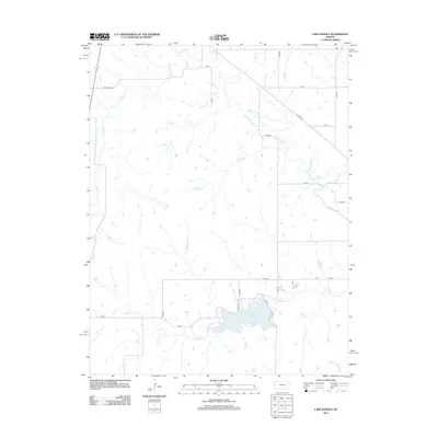 2012 Lake Kahola2012 Print · USGSMorris County's rural landscape is captured here in the early twenty-first century, centered on the waters of Lake Kahola. Genealogists and local historians can trace the section-line road network and the meanders of the Neosho River and Kahola Cr.
 - 2012 Map of Dwight, 2012 Print
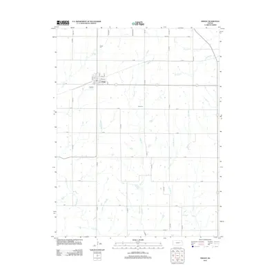 2012 Dwight2012 Print · USGSDwight and the surrounding Morris County countryside are captured here in the early twenty-first century. Genealogists and local historians can trace family roots at Dwight Cem and Swartz Cem or follow the paths of Lairds Cr and Slough Cr.
 - 2012 Map of Burdick, 2012 Print
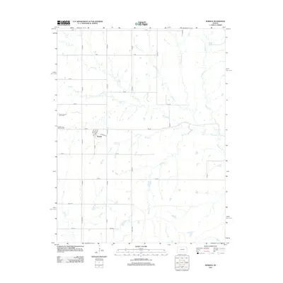 2012 Burdick2012 Print · USGSBurdick and the surrounding Morris County countryside are mapped here during the early 2010s, showing a landscape defined by prairie streams and section-line roads. Researchers can locate local landmarks like Hebron Lutheran Church Cem and follow the paths of Sixmile Cr and Diamond Cr.
 - 2012 Map of Lost Springs, 2012 Print
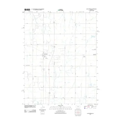 2012 Lost Springs2012 Print · USGSLost Springs and the surrounding Marion County farmlands are captured in the early 21st century. Genealogists can locate several local burial grounds including Hartke Cem, Lost Springs Cem, and the Swedish Mission Cem.
 - 2012 Map of Americus, 2012 Print
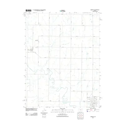 2012 Americus2012 Print · USGSLyon County at the turn of the decade reveals a structured agricultural landscape centered on the winding Neosho River. Local historians can trace early community roots through the Dunlap African American Cem and the original street layouts of Americus and Dunlap.
 - 2012 Map of Bushong, 2012 Print
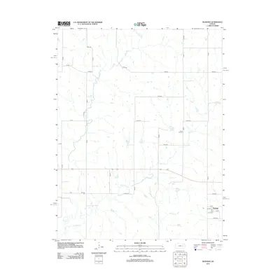 2012 Bushong2012 Print · USGSLyon County at the start of the 2010s reveals a quiet landscape of agricultural sections and winding creek beds. Researchers can trace local history through the grid of Bushong or find ancestral ties at Agnes City Cem and Comisky Cem.
 - 2015 Map of Burdick, 2015 Print
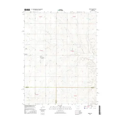 2015 Burdick2015 Print · USGSBurdick and the surrounding Flint Hills countryside appear here in the mid-2010s, showing a landscape defined by ranching and small-town roots. Genealogists can locate the Cem and historic congregations like the Hebron Lutheran Church or Burdick United Methodist Church.
 - 2015 Map of Dwight, 2015 Print
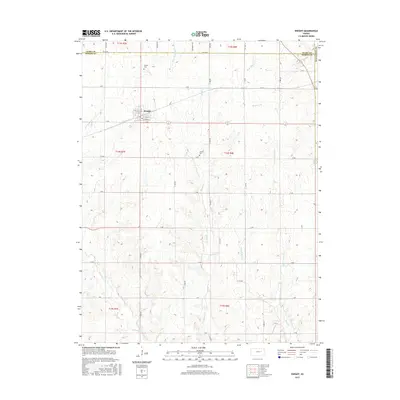 2015 Dwight2015 Print · USGSMorris County's rural character is on full display in this mid-decade survey of the Flint Hills region near the Geary and Wabaunsee county lines. Researchers can trace the layout of Dwight or locate local landmarks like Swartz Cem and the headwaters of Munkers Cr.
 - 2015 Map of Alta Vista, 2015 Print
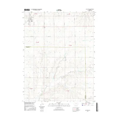 2015 Alta Vista2015 Print · USGSThe upland prairie of Wabaunsee County is mapped here in the mid-2010s, showing the town of Alta Vista at its traditional rail-and-road junction. Genealogists and historians can trace local burial sites like Bemoan Cem and the route of the Mormon Trail Rd.
 - 2015 Map of Lost Springs, 2015 Print
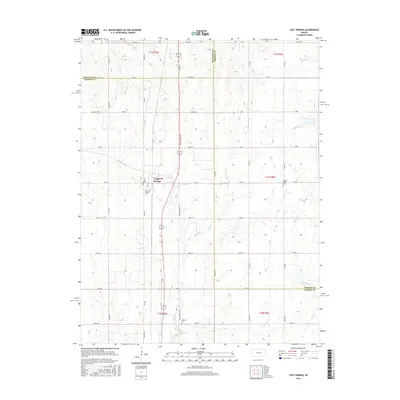 2015 Lost Springs2015 Print · USGSThe intersection of Marion, Dickinson, and Morris counties is documented here as it appeared in the mid-2010s. Genealogists can locate rural burial sites such as Swedish Mission Cem and Hartke Cem near the headwaters of Lyon Creek.
Showing maps 1-25 of 55
Top cities of Morris County
- Council Grove historical maps
- White City historical maps
- Dwight historical maps
- Wilsey historical maps
- Dunlap historical maps
- Parkerville historical maps
See more
Frequently asked questions
- What are the different types of historical maps available for Morris County?
- What is the oldest map of Morris County?
- Where can I purchase historical maps of Morris County for my home or office?
- Where can I download high-res historical maps of Morris County?
- Are there historical topographic maps available for Morris County?
- Is there historical aerial imagery available for Morris County?
- Where are historical maps of Morris County sourced from?