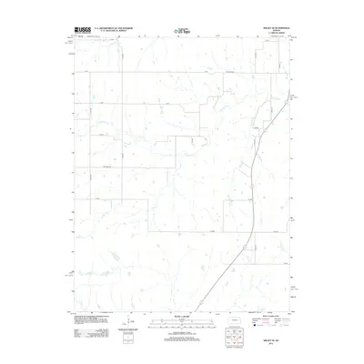
2012 Map of Wilsey SE
USGS Topo · Published 2012About this map
The prairie landscape of Morris County is defined by a dendritic network of streams, including Fourmile Cr and Spring Cr, which drain the open ranchland. This 2012 survey shows the intersection of regional thoroughfares like Four Mile Rd and CC Ave, reflecting the enduring section-line grid that organizes the Kansas interior. The terrain is marked by numerous small ponds and ephemeral watercourses, such as Paddy Cr and East Cr, which are essential to the area's agricultural and grazing operations. To the south and east, Fox Cr and Kahola Cr carve through the topography, illustrating the natural drainage patterns that have historically dictated the placement of rural homesteads and roads like S 1000 Rd. This map provides a clear record of the contemporary rural infrastructure and hydrological features that shape the local geography.
Find a feature on this map
22 named features on this map. Tap any name to fly to it.
Don’t see what you’re looking for? This feature index may not catch every label — zoom into the map to look around manually.
Map Details
Editions of this 2012 Wilsey SE Map
This is the sole edition of this map. No revisions or reprints were ever made.
Other maps of this area

1885 · Eskridge
USGS Topo · 1:125,000

1888 · Emporia
USGS Topo · 1:125,000

1889 · Parkerville
USGS Topo · 1:125,000

1889 · Eskridge
USGS Topo · 1:125,000

1894 · Emporia
USGS Topo · 1:125,000

1894 · Eskridge
USGS Topo · 1:125,000

1894 · Parkerville
USGS Topo · 1:125,000

1898 · Cottonwood Falls
USGS Topo · 1:125,000

1955 · Hutchinson
USGS Topo · 1:250,000

1957 · Strong City
USGS Topo · 1:24,000