
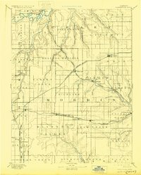
1894 Map of Parkerville
USGS Topo · Published 1894About this map
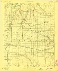
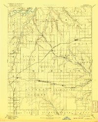
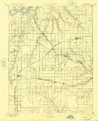
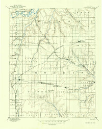
Council Grove serves as the focal point for this late 19th-century survey of Morris County, where the transition from high prairie to river valley is clearly defined. The landscape is crisscrossed by several vital late-century rail lines, including the Chicago Kansas and Nebraska Railroad and the Topeka Salina and Western Railroad, which dictated the growth of nearby towns like White City and Wilsey. Small agricultural hubs and post offices such as Skiddy, Dwight, and Delavan appear alongside the intricate drainage systems of Clarkes Creek and Lyons Creek. This period shows the region at a peak of rail-driven expansion, with the Neosho River and Smoky Hill River anchoring the northern and eastern portions of the map, illustrating how water and iron rails together shaped the settlement patterns of the Rolling Prairie.
Find a feature on this map
68 named features on this map. Tap any name to fly to it.
Don’t see what you’re looking for? This feature index may not catch every label — zoom into the map to look around manually.
Map Details
Editions of this 1894 Parkerville Map
6 editions found
Other maps of this area

1885 · Eskridge
USGS Topo · 1:125,000

1886 · Junction City
USGS Topo · 1:125,000

1888 · Emporia
USGS Topo · 1:125,000

1889 · Newton
USGS Topo · 1:125,000

1889 · Wamego
USGS Topo · 1:125,000

1889 · Junction City
USGS Topo · 1:125,000

1889 · Abilene
USGS Topo · 1:125,000

1889 · Parkerville
USGS Topo · 1:125,000

1889 · Eskridge
USGS Topo · 1:125,000

1891 · Clay Center
USGS Topo · 1:125,000