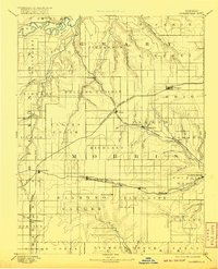
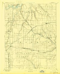
1894 Map of Parkerville
USGS Topo · Published 1920About this map
Rolling Prairie and high-plateau terrain dominate this 1880s survey of Morris County and its neighbors, capturing the region during a peak era of railroad expansion. The map details a landscape where water and rail intersect, showing the Smoky Hill River in the northwest and the Neosho River winding through the east. This period saw the heavy development of transportation corridors, including the Union Pacific Railroad and the Chicago Kansas and Nebraska Railroad, which spurred the growth of agricultural hubs like Parkerville, Herington, and Wilsey. Smaller, often elusive settlements such as Skiddy, Kelso, and Evansville are clearly marked along the various creek branches. The detailed drainage network, including Clarks Creek and Diamond Creek, illustrates how early Kansas settlers utilized the natural topography to establish township boundaries and farming communities.
Find a feature on this map
65 named features on this map. Tap any name to fly to it.
Don’t see what you’re looking for? This feature index may not catch every label — zoom into the map to look around manually.
Map Details
Editions of this 1894 Parkerville Map
6 editions found

Other maps of this area

1885 · Eskridge
USGS Topo · 1:125,000

1886 · Junction City
USGS Topo · 1:125,000

1888 · Emporia
USGS Topo · 1:125,000

1889 · Newton
USGS Topo · 1:125,000

1889 · Wamego
USGS Topo · 1:125,000

1889 · Junction City
USGS Topo · 1:125,000

1889 · Abilene
USGS Topo · 1:125,000

1889 · Parkerville
USGS Topo · 1:125,000

1889 · Eskridge
USGS Topo · 1:125,000

1891 · Clay Center
USGS Topo · 1:125,000