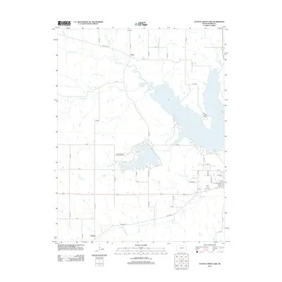
2012 Map of Council Grove Lake
USGS Topo · Published 2012About this map
Council Grove Lake dominates the central landscape of this Morris County region, with its sprawling shoreline and several fingers reaching into the surrounding prairie. Fed by the Neosho River and Canning Cr, the reservoir is a focal point for recreation at White Memorial Camp and reflects mid-century infrastructure projects that altered the local hydrology. North of the lake, the small settlement of Kelso and the nearby Kelso Cem provide a look at the area's agricultural foundations, while the southern portion of the map transitions toward Helmick and the drainage of Elm Cr. The map details a well-established grid of rural routes including City Lake Rd and Kelso Rd, supporting the Council Grove Municipal Airport and connecting the quiet cemetery sites of Calvary Cem and Greenwood Cem near the historic path of Old US 56.
Find a feature on this map
47 named features on this map. Tap any name to fly to it.
Don’t see what you’re looking for? This feature index may not catch every label — zoom into the map to look around manually.
Map Details
Editions of this 2012 Council Grove Lake Map
This is the sole edition of this map. No revisions or reprints were ever made.
Other maps of this area

1885 · Eskridge
USGS Topo · 1:125,000

1889 · Parkerville
USGS Topo · 1:125,000

1889 · Eskridge
USGS Topo · 1:125,000

1894 · Eskridge
USGS Topo · 1:125,000

1894 · Parkerville
USGS Topo · 1:125,000

1955 · Hutchinson
USGS Topo · 1:250,000

1959 · Hutchinson
USGS Topo · 1:250,000

1971 · Alta Vista
USGS Topo · 1:24,000
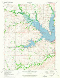
1971 · Council Grove Lake
USGS Topo · 1:24,000
1971 · Dwight
USGS Topo · 1:24,000