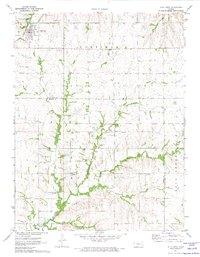
1971 Map of Alta Vista
USGS Topo · Published 1974About this map
The town of Alta Vista sits at the junction of rail and road in the northern reaches of this Flint Hills landscape. The Chicago Rock Island and Pacific railroad cuts through the settlement, which is flanked by the Alta Vista Cemetery and several quarries. A significant historical line, the Old Indian Treaty Boundary, bisects the center of the sheet, marking a legacy of land division that precedes the section lines of Garfield and Twp.
Find a feature on this map
23 named features on this map. Tap any name to fly to it.
Don’t see what you’re looking for? This feature index may not catch every label — zoom into the map to look around manually.
Map Details
Editions of this 1971 Alta Vista Map
This is the sole edition of this map. No revisions or reprints were ever made.
Other maps of this area

1885 · Eskridge
USGS Topo · 1:125,000

1889 · Parkerville
USGS Topo · 1:125,000

1889 · Eskridge
USGS Topo · 1:125,000

1894 · Eskridge
USGS Topo · 1:125,000

1894 · Parkerville
USGS Topo · 1:125,000

1955 · Hutchinson
USGS Topo · 1:250,000

1959 · Hutchinson
USGS Topo · 1:250,000
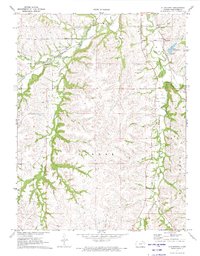
1971 · Allendorph
USGS Topo · 1:24,000
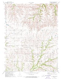
1971 · Alta Vista SE
USGS Topo · 1:24,000
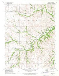
1971 · Volland
USGS Topo · 1:24,000