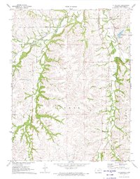
1971 Map of Allendorph
USGS Topo · Published 1973About this map
The Chicago Rock Island and Pacific railroad cuts through the northern landscape of Wabaunsee County, following the natural corridor carved by West Branch Mill Creek and Loire Creek. This early 1970s survey illustrates a region defined by its water and agricultural boundaries, specifically the townships of Alma, Washington, Farmer, and Garfield. A notable historical landmark, the Indian Treaty Boundary, is clearly delineated in the northeast, running south of the settlement at Allendorph.
Find a feature on this map
18 named features on this map. Tap any name to fly to it.
Don’t see what you’re looking for? This feature index may not catch every label — zoom into the map to look around manually.
Map Details
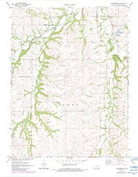
Editions of this 1971 Allendorph Map
2 editions found
Other maps of this area

1885 · Eskridge
USGS Topo · 1:125,000

1889 · Wamego
USGS Topo · 1:125,000

1889 · Eskridge
USGS Topo · 1:125,000

1894 · Eskridge
USGS Topo · 1:125,000

1894 · Wamego
USGS Topo · 1:125,000
1953 · Wamego SW
USGS Topo · 1:24,000

1954 · Alma
USGS Topo · 1:24,000

1954 · Mc Farland
USGS Topo · 1:24,000

1955 · Manhattan
USGS Topo · 1:250,000

1955 · Hutchinson
USGS Topo · 1:250,000